Boston Harbor Islands National Recreation Area
MA
Park Alerts (2)
About Boston Harbor Islands National Recreation Area
. where you can walk a Civil War-era fort, view historic lighthouses, explore tide pools, hike lush trails, camp under the stars, or relax while fishing, picnicking, or swimming—all within reach of downtown Boston. Youth programs, visitor services, research, wildlife management, and more are coordinated on the park's 34 islands and peninsulas by the Boston Harbor Islands Partnership.
Things To Do
Showing 6 of 17
Hike Spectacle Island's Drumlins
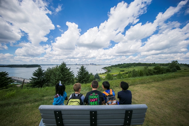
Hike one of the drumlins of Spectacle Island to catch beautiful views of the city and harbor.
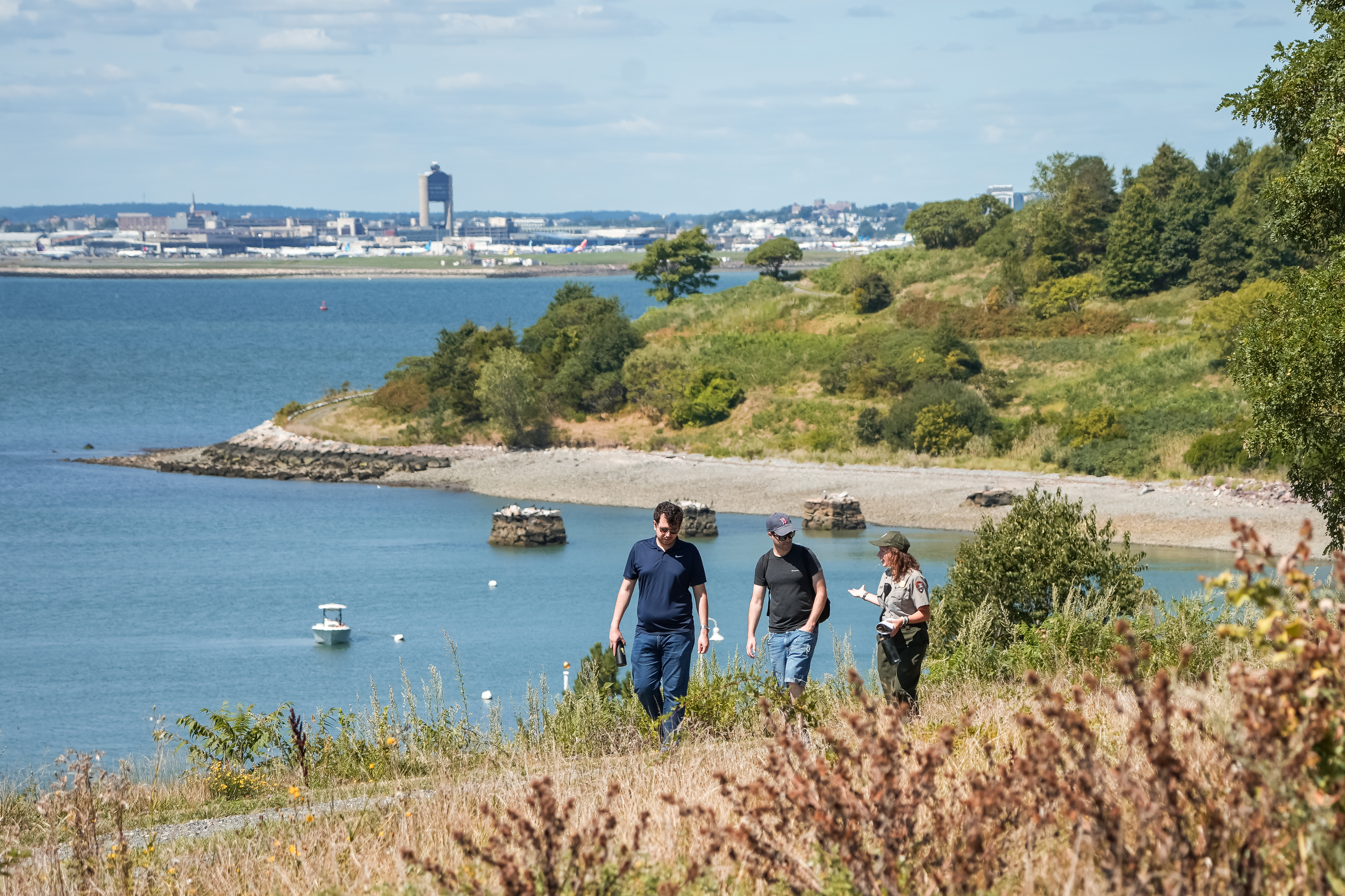
Visit One of the Boston Harbor Islands
Made up of 34 unique islands and peninsulas, the Boston Harbor Islands have something for everyone. Choose an island and plan your adventure!
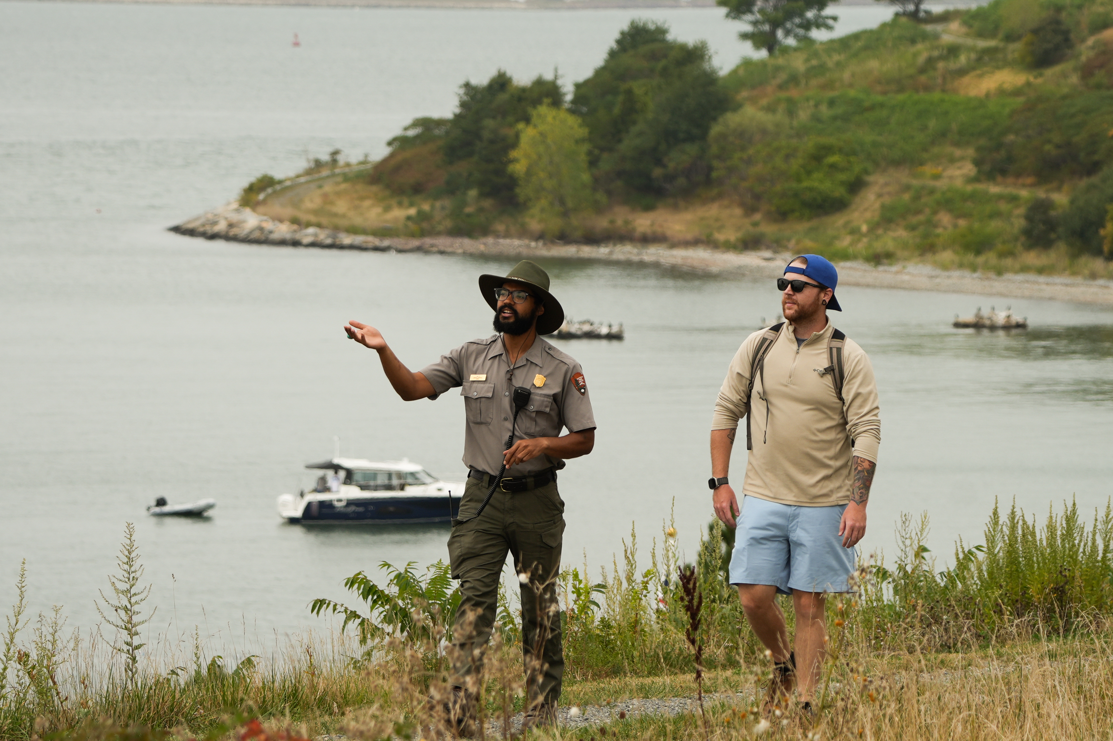
Hike with a Ranger on Spectacle Island
Join a ranger for a hike on Spectacle Island!
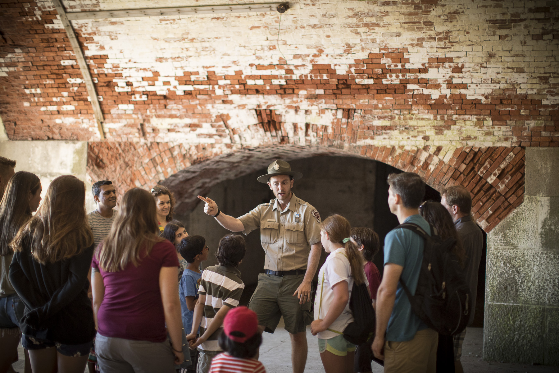
Fort Tours on Georges Island
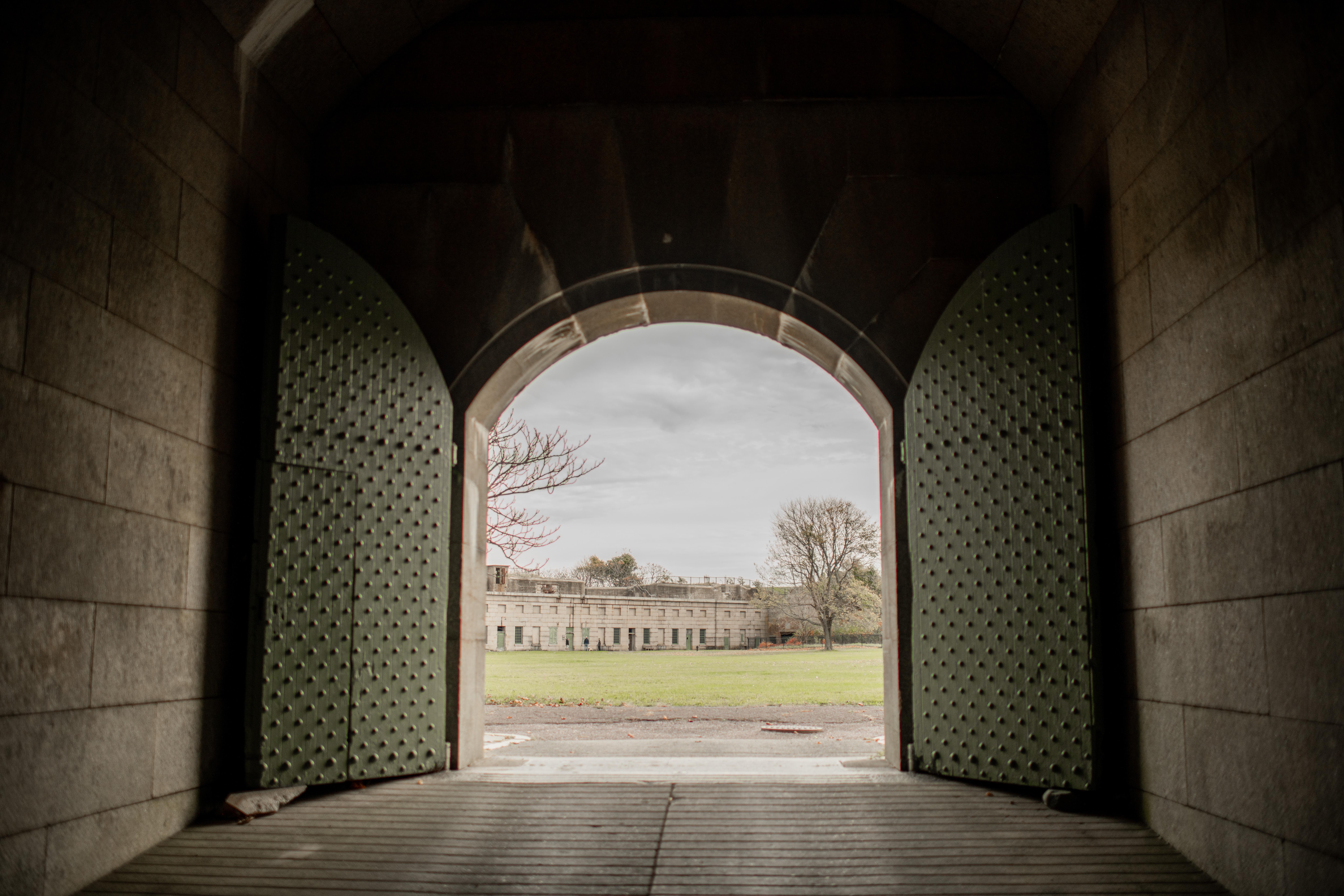
Join a ranger for a tour of Fort Warren on Georges Island!
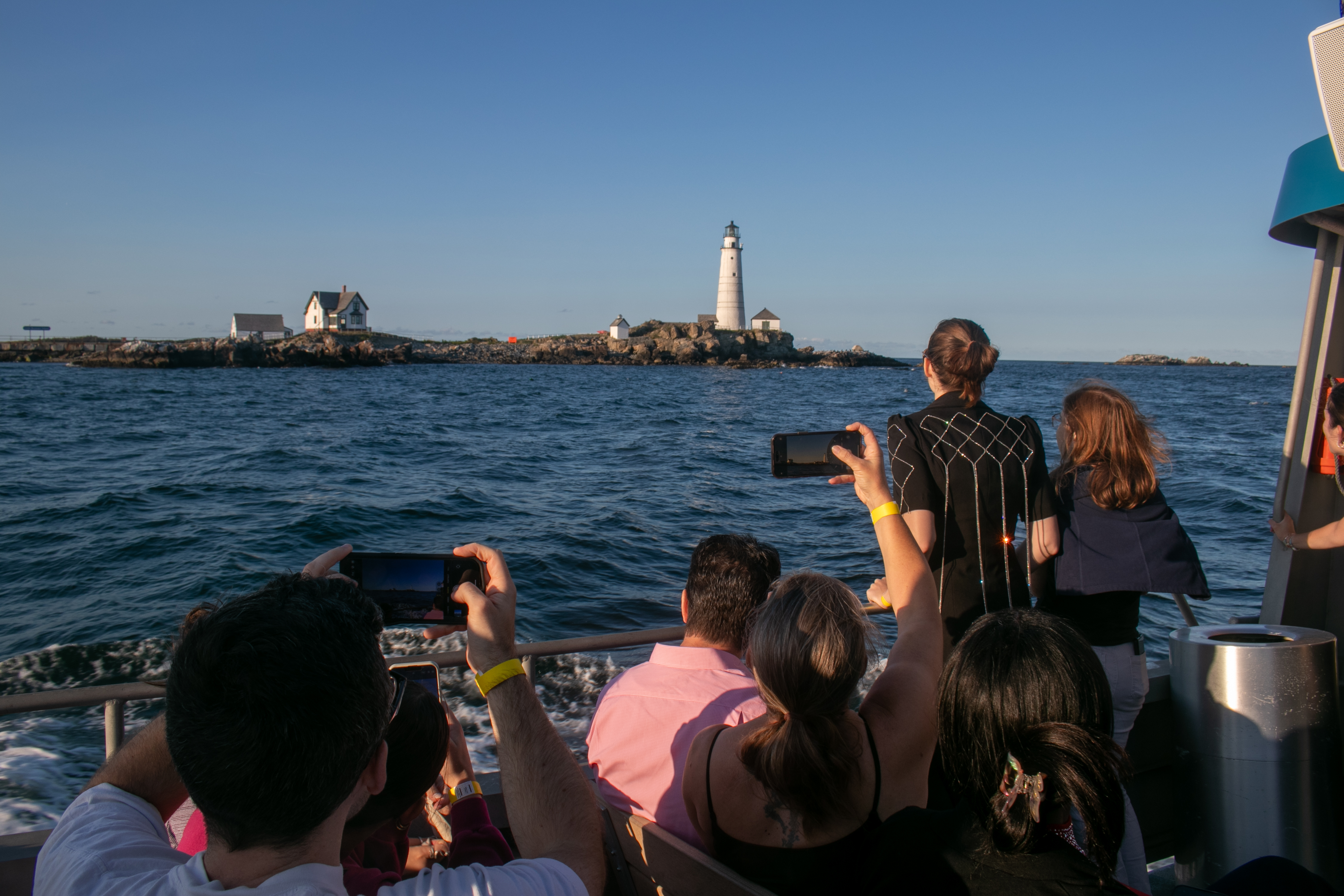
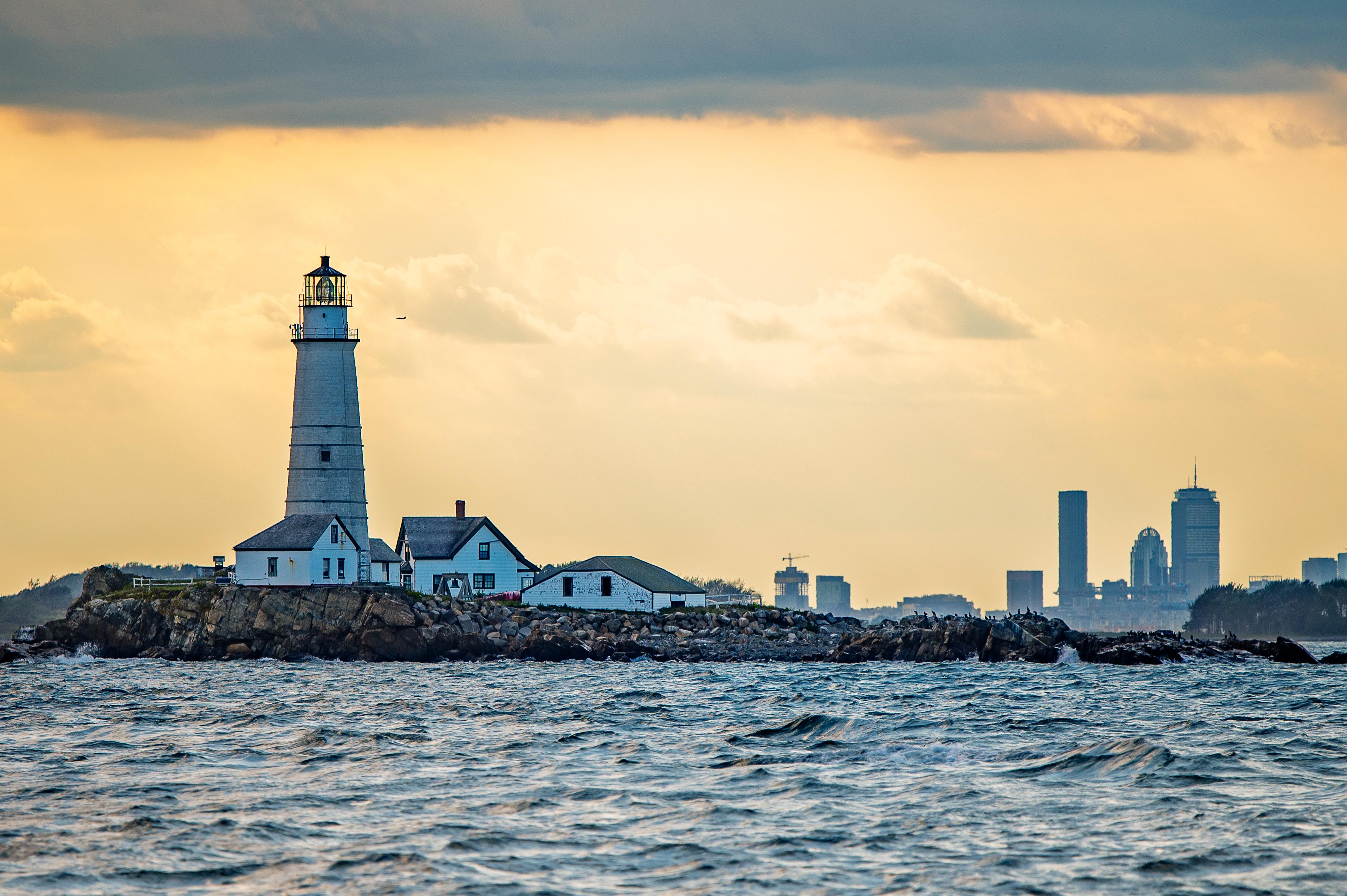
Take a Lighthouse Cruise
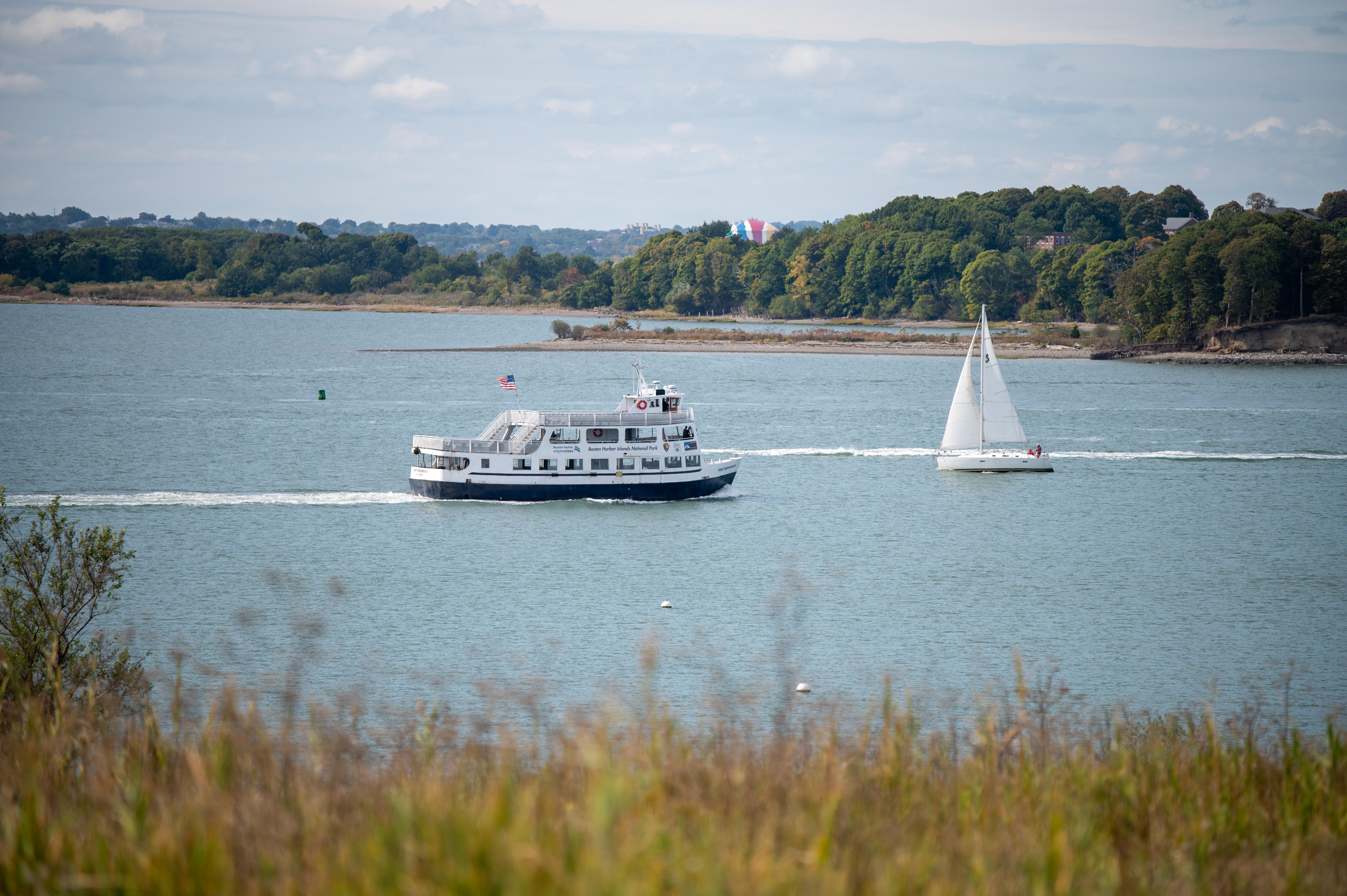
Cruise Boston’s outer harbor to learn about navigational aids in Boston and the uses of the islands over time.
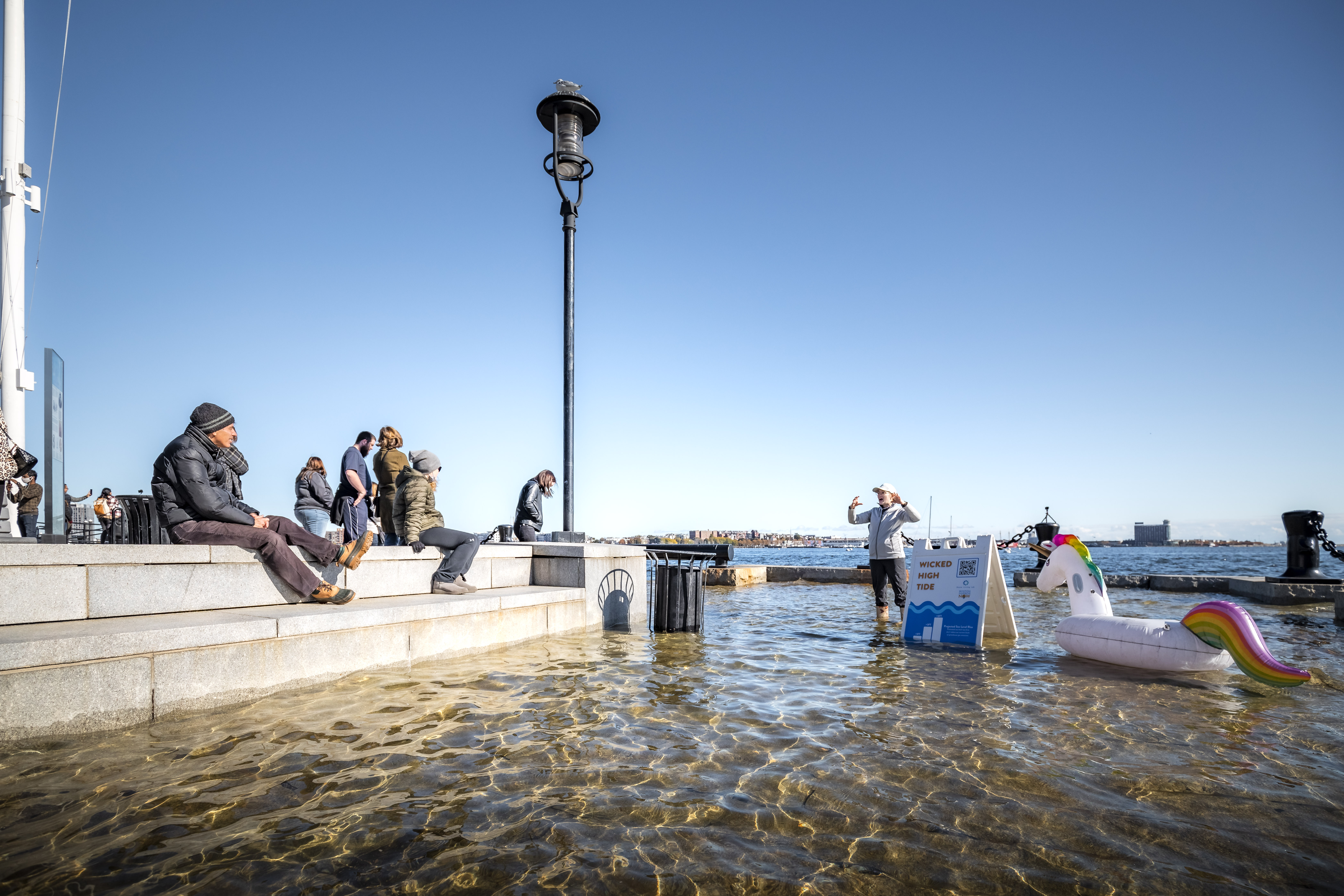
Learn about Boston's "Wicked" High Tides
Learn about Boston's coastlines and King tides by taking the High Tide Trail audio tour or joining a high tide program hosted by our partners, the Stone Living Lab.
Available Activities
Weather
The Boston Harbor Islands have a humid maritime climate characterized by slightly cooler temperatures than the mainland, so dress in layers. Typical summer conditions feature air temperatures approximately 5-10 degrees cooler than the mainland, winds of 0-15 knots and waves of 1-3 feet.
Getting There
There are many ways to enjoy Boston Harbor Islands and many ways to get there. For more information on how to get to the park by ferry, car, or private boat, please visit www.bostonharborislands.
org.
Plan Your Visit
Let Roamze help you plan the perfect trip to Boston Harbor Islands National Recreation Area with AI-powered itineraries.
Hours
Boston Harbor Islands
Boston Harbor Islands is a Partnership park. Operating hours and seasons vary. Visit bostonharborislands.org to plan your trip.
