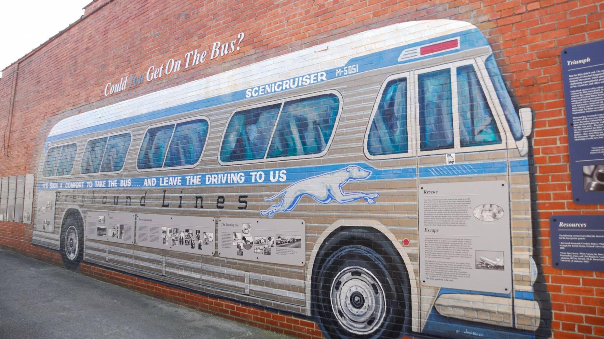
Freedom Riders National Monument
AL
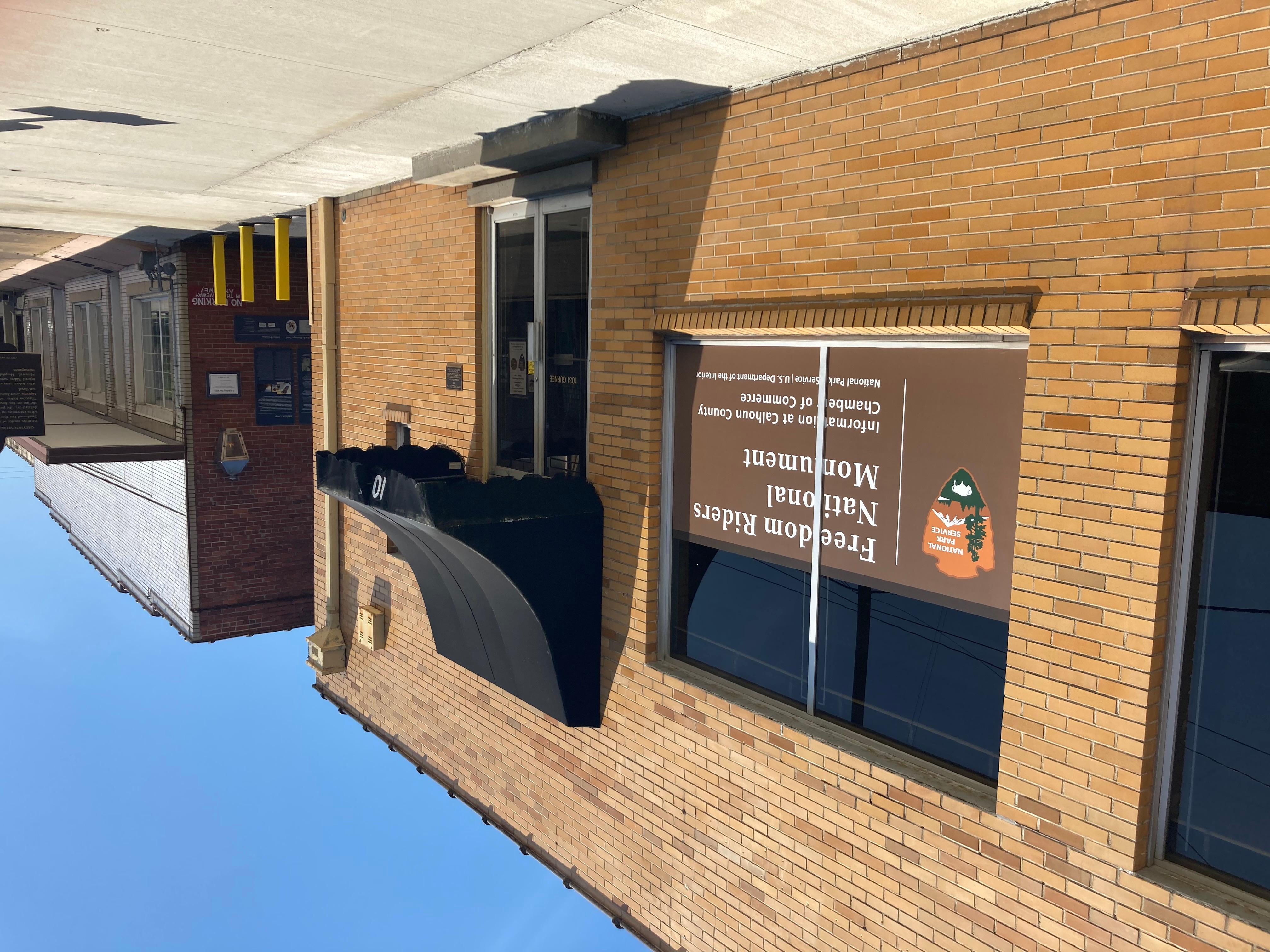
About Freedom Riders National Monument
Freedom Riders National Monument in Alabama preserves the history of the Freedom Riders, activists who challenged racial segregation on interstate buses and in public facilities during the Civil Rights Movement. The monument interprets African American heritage, civil rights struggle, and the social movements that shaped the nation, with connections to the history of incarceration and jails used during that era.
Visitors come to learn about this pivotal chapter in American history through the monument's interpretive programs and sites. As a newer national monument unit, it offers a chance to engage with civil rights history in a landscape tied directly to the events and struggles of the movement. Like most NPS sites focused on history and civil rights, the monument is generally accessible year-round, though it's wise to check current conditions and any seasonal closures before planning your trip.
Things To Do
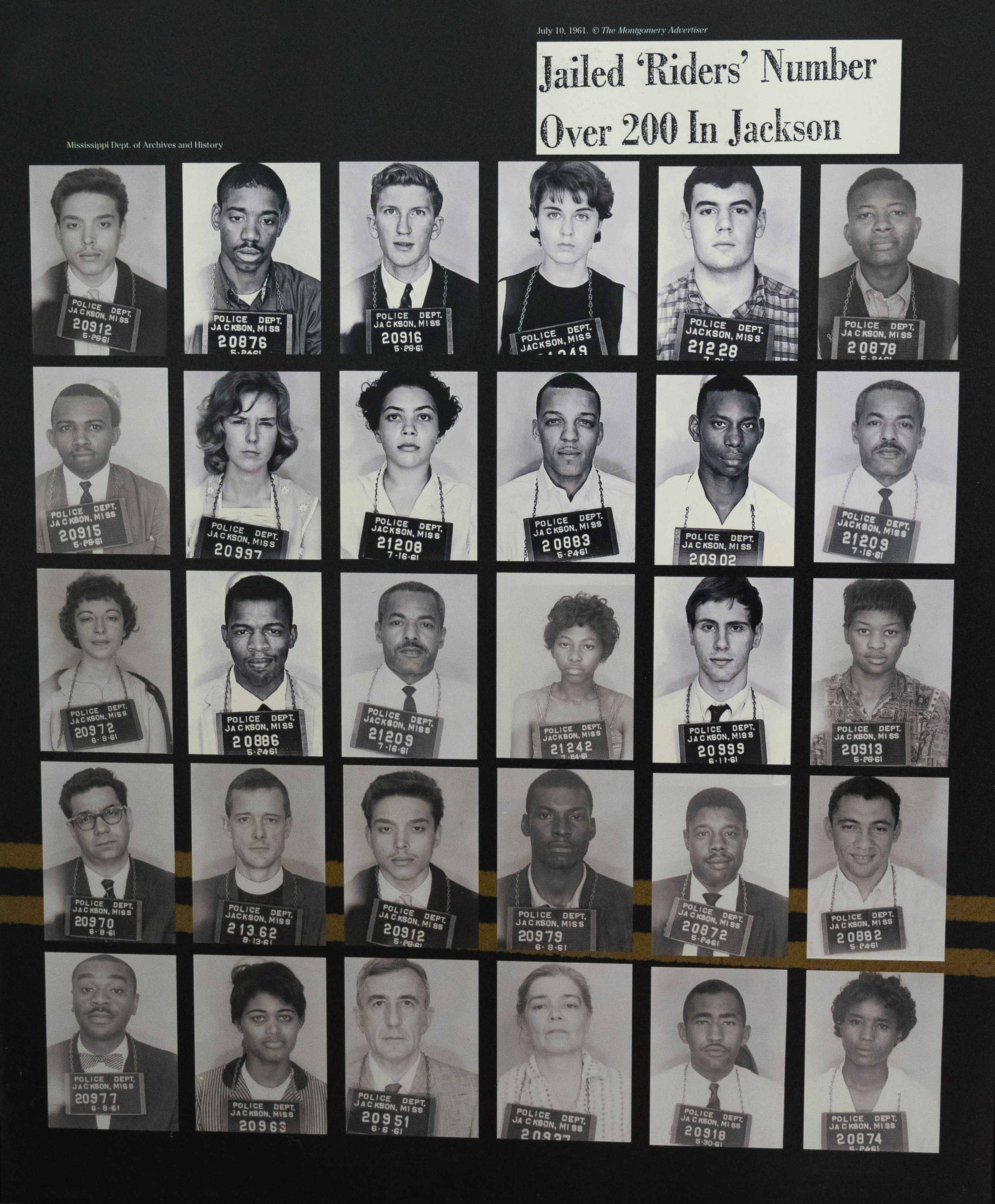
Explore the Freedom Riders Story
Explore the indoor and outdoor exhibits that tell the stories of the Freedom Riders. Indoor exhibits are limited to open hours, but outdoor exhibits are always available.
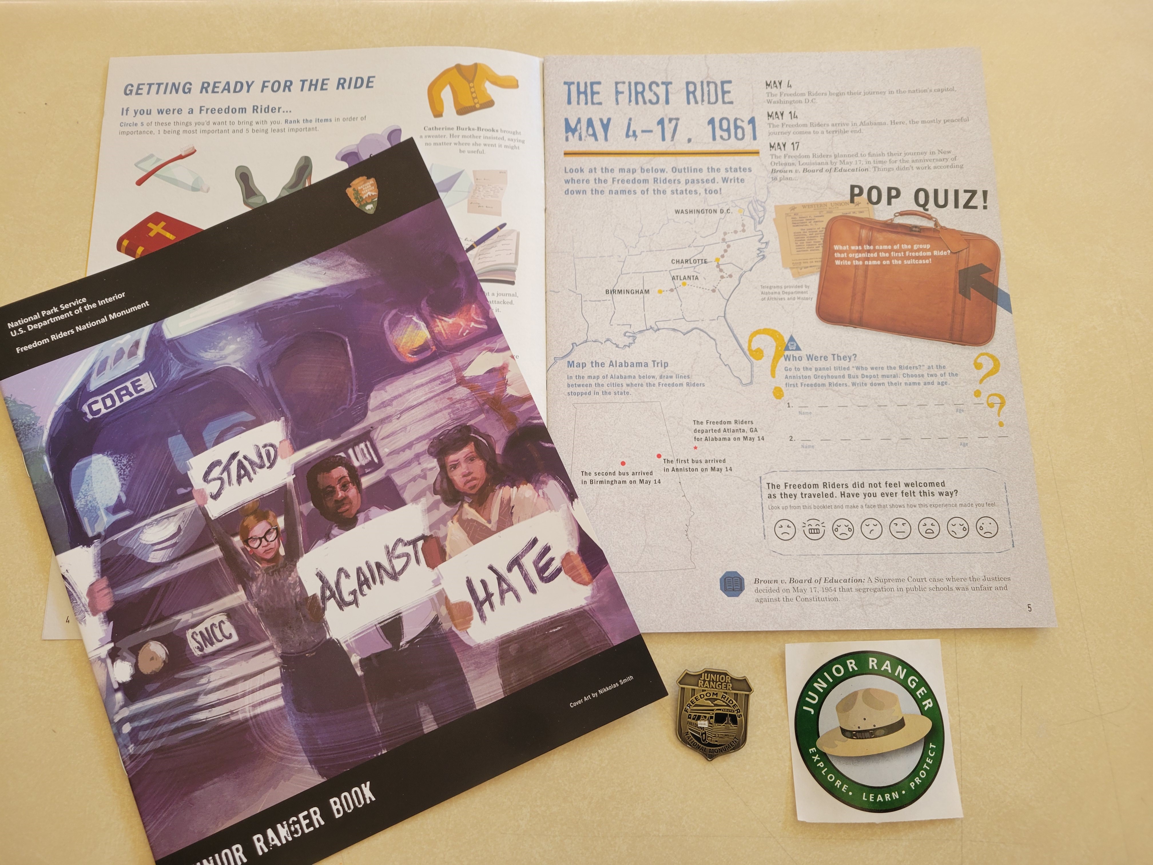
Junior Ranger
Explore the story of the Freedom Riders through the Junior Ranger Program in Anniston, Alabama.
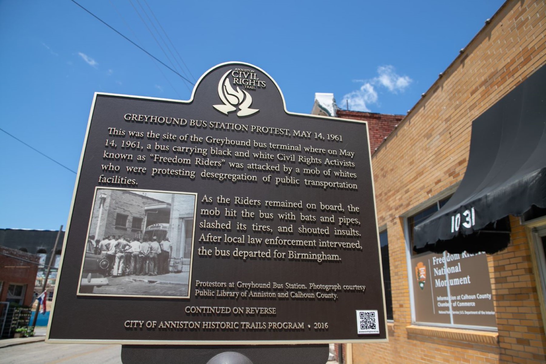
Drive Through Anniston Civil Rights History
The Anniston Civil Rights Heritage Trail project began in 2010. This nine-stop driving tour explores key sites and stories associated with Anniston's civil rights history.
Available Activities
Weather
Temperatures can soar to extremes of heat and humidity in the summer and fall to a damp, wet, cold in the winter. During the summer season visitors should dress in light, comfortable clothing, wear comfortable shoes and use sunscreen. Drink plenty of fluids to maintain hydration.
In the spring and fall, visitors should have a light jacket available as temperatures can drop suddenly.
Getting There
Directions to the Bus Burning Site, from Atlanta and Points East: From I-20, take exit 179 toward AL-202 E/US-78/Coldwater. Merge onto Alabama State Highway 202. Turn right onto Old Birmingham Hwy.
The Bus Burning site is located on the right. A gravel parking lot is available at the burn site with entry from the Old Birmingham Hwy. There is no authorized parking or pedestrian activity along State Route 202.
For directions to the Anniston Greyhound Bus Depot, click on link below.
Plan Your Visit
Let Roamze help you plan the perfect trip to Freedom Riders National Monument with AI-powered itineraries.
Hours
Anniston Greyhound Bus Depot
The historic Anniston Greyhound Bus Depot, located at 1031 Gurnee Avenue. This is the Greyhound Depot the Freedom Riders attempted to integrate on May 14, 1961.
Calhoun County Chamber of Commerce and Visitor Center
Please visit the Freedom Riders National Monument Interim Visitor Center, located at the Calhoun County Area Chamber & Visitor Center (1330 Quintard Avenue). 24/7 access to interactive kiosk, passport stamps, brochures and junior ranger books in the Chamber vestibule.
