Moores Creek National Battlefield
NC

Park Alerts (3)
About Moores Creek National Battlefield
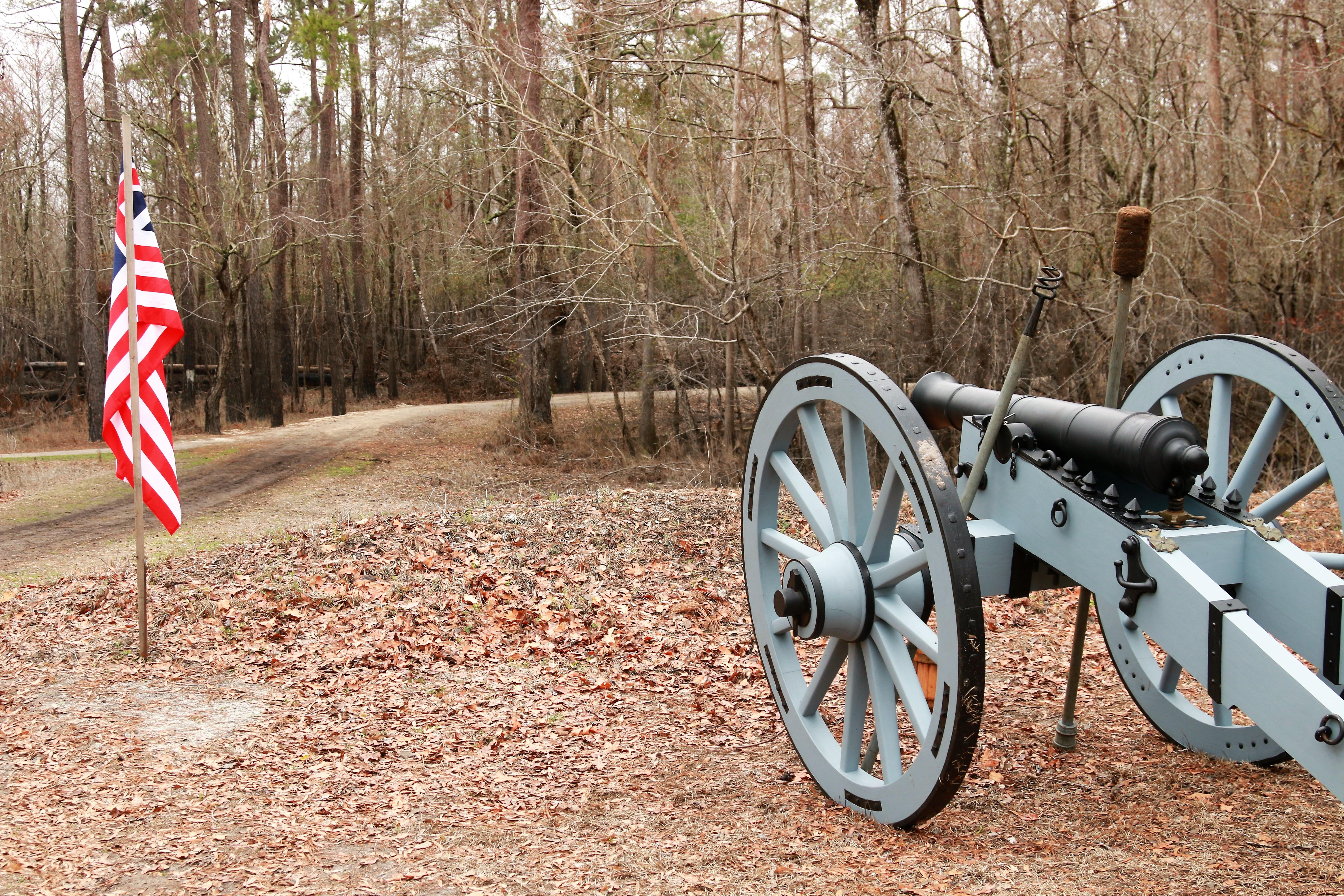
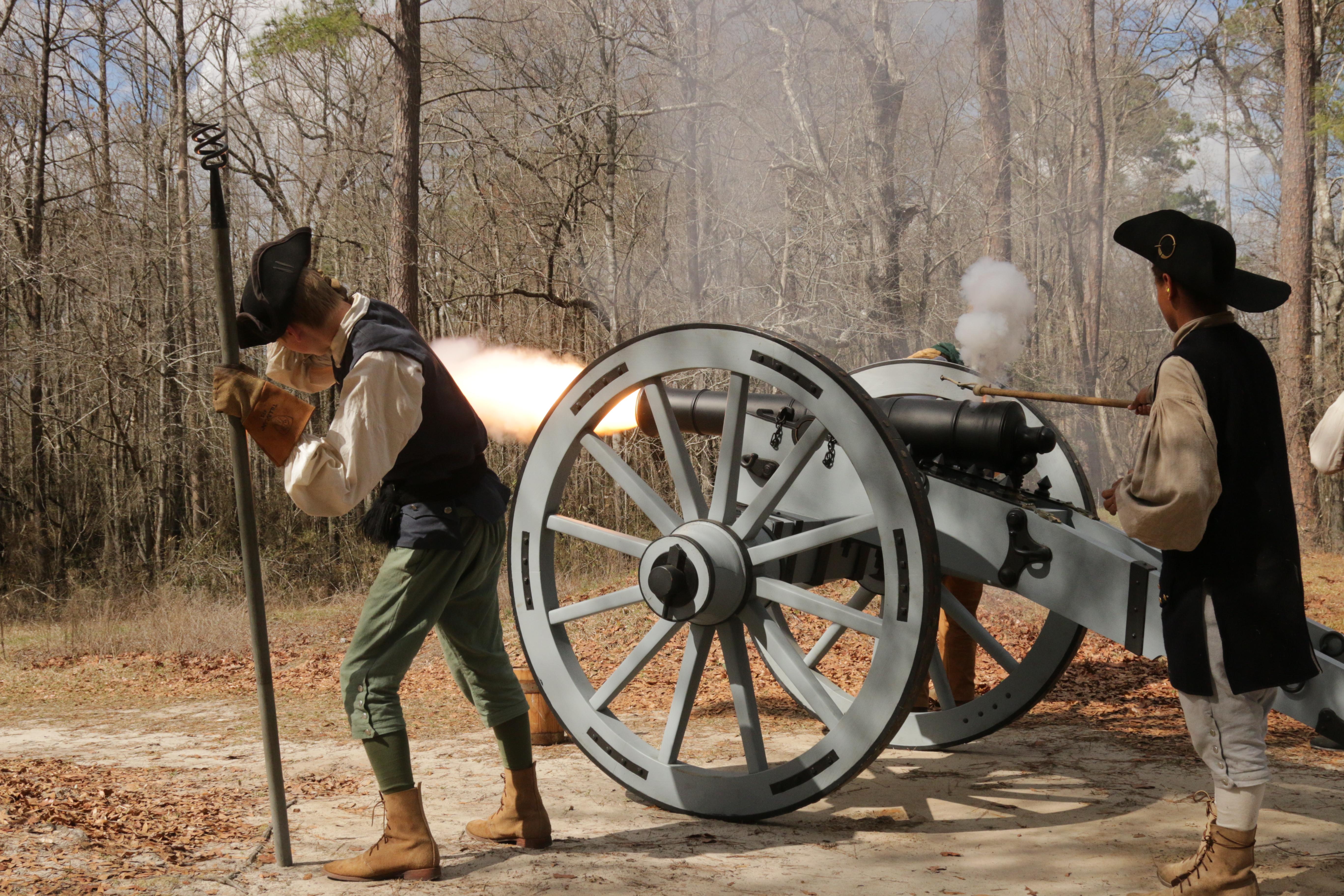
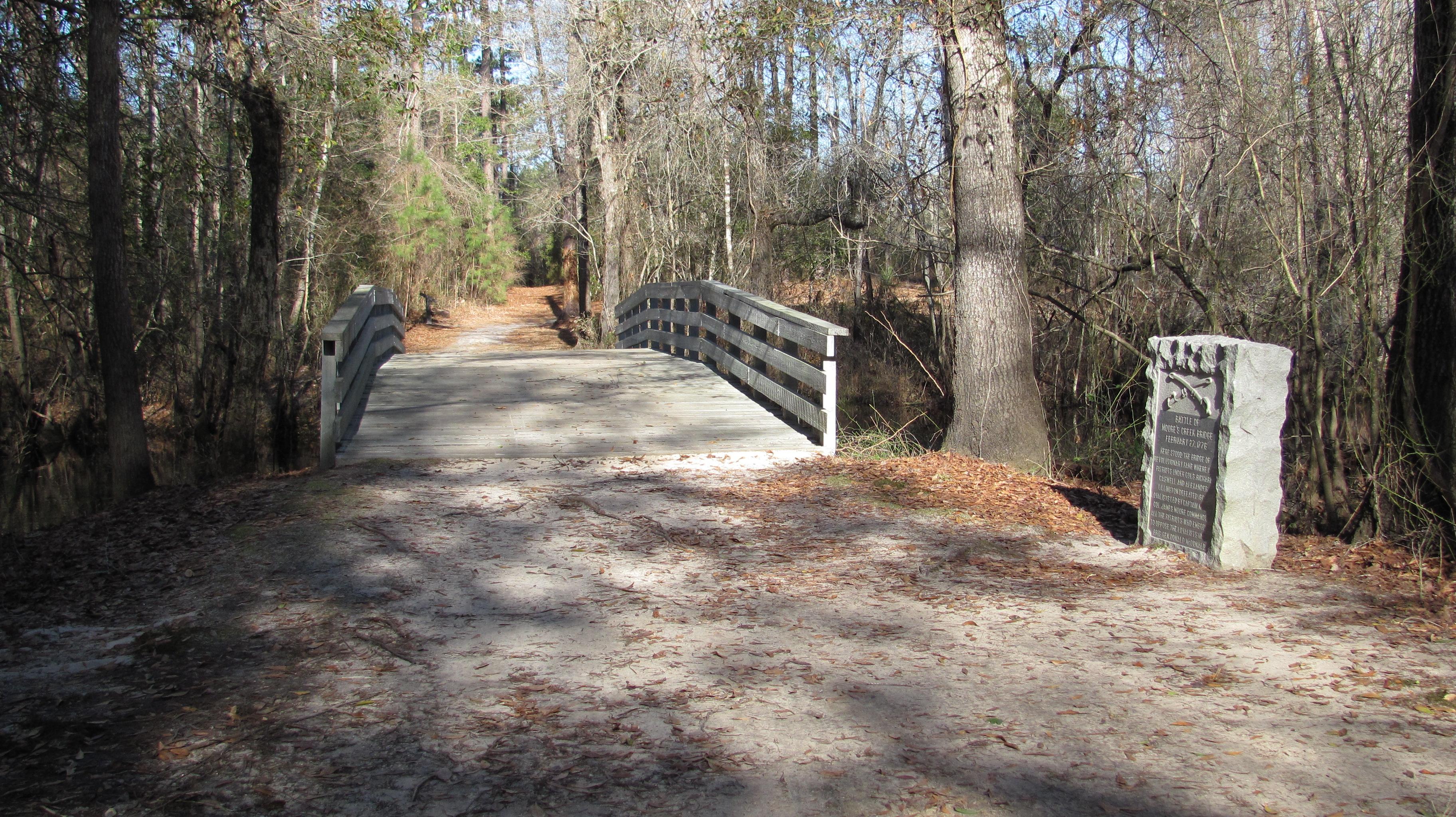
In the early morning hours of February 27, 1776, Loyalist forces charged across a partially dismantled Moores Creek Bridge. Beyond the bridge, nearly 1,000 North Carolina Patriots waited quietly with cannons and muskets poised to fire. This battle marked the last broadsword charge by Scottish Highlanders and the first significant victory for the Patriots in the American Revolution.
Available Activities
Weather
Currie, North Carolina has mild Winters and moderate to hot Summers with varying humidity.
Getting There
Moores Creek National Battlefield is located 20 miles NW of Wilmington, North Carolina. · From Highway 17, follow US 421 to NC 210, then West on NC 210 · From Interstate 40, take exit 408 (NC 210) West at Rocky Point. · From Interstate 95 North, take exit 13-A for NC 74 East towards Wilmington.
· From Interstate 95 South: take exit 81-B for I-40 East towards Wilmington.
Plan Your Visit
Let Roamze help you plan the perfect trip to Moores Creek National Battlefield with AI-powered itineraries.
Hours
Visitor Center
The Visitor Center is open Tuesday - Saturday, 9:00 am to 5:00 pm. This includes access to exhibits, the park's 10-minute film, "In the Most Furious Manner", the gift shop and America the Beautiful passes. The visitor center is closed on all Federal Holidays except Memorial Day, Independence Day and Veteran's Day. The Visitor Center Phone Number is 910-283-5591.
Park Trail Access Hours
The grounds of Moores Creek National Battlefield are open daily from 9:00 am to 5:00 pm. Areas of access include the History and Tar Heel trails, Earthworks and Battlefield, and Widow Moores Creek Bridge. Additionally, access to picnic areas and the creek are available during these hours.
