Sand Creek Massacre National Historic Site
CO
Park Alerts (2)
About Sand Creek Massacre National Historic Site
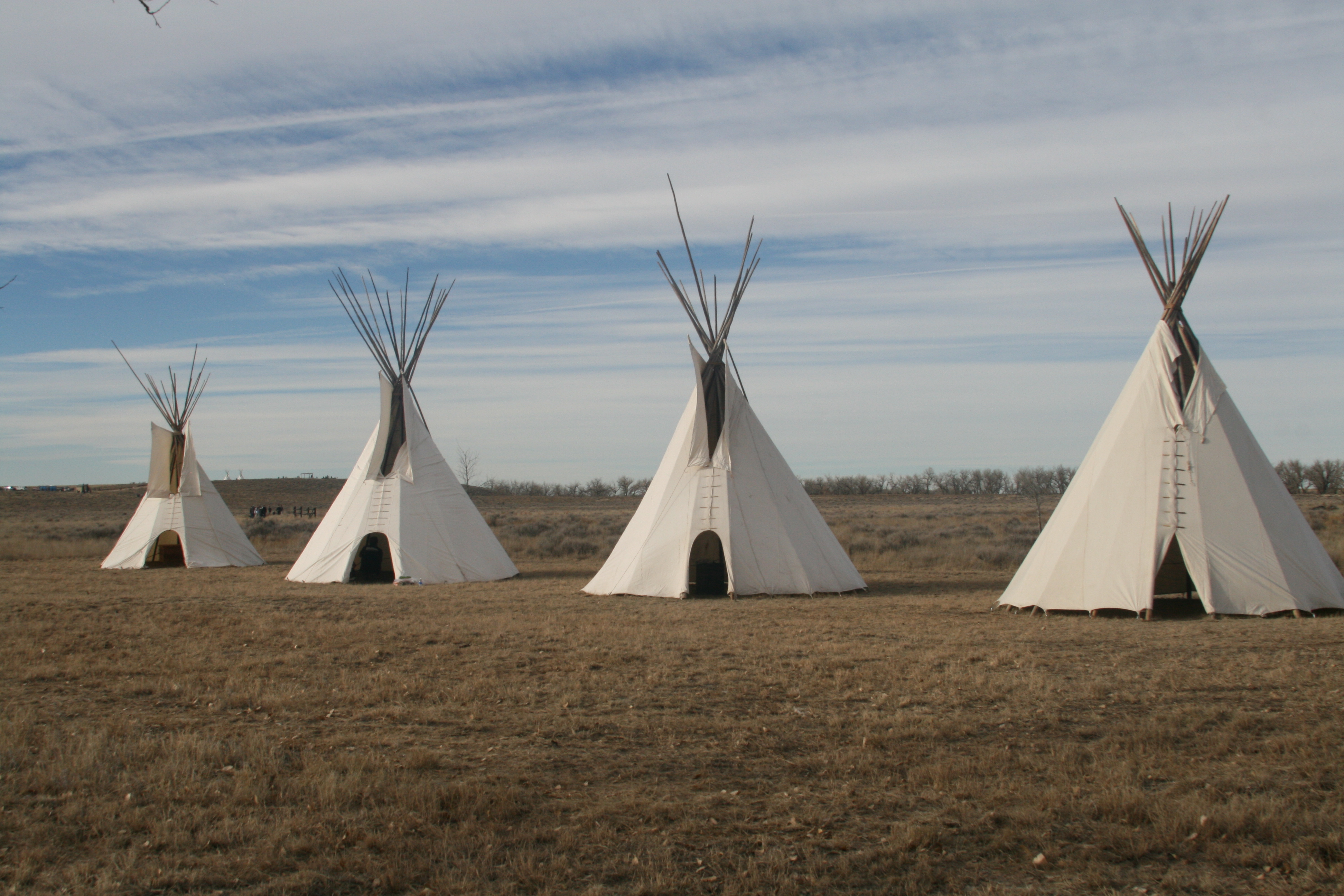
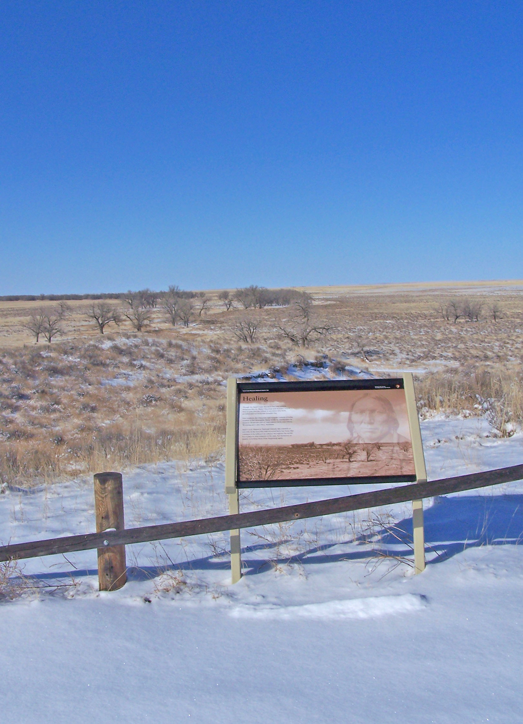
On November 29th, 1864, Chiefs Black Kettle, White Antelope, Left Hand and others were encamped with around 750 Arapaho and Cheyenne people in a valley by the Big Sandy Creek. A hope for peace, brought forth by Black Kettle was in the balance. It was a tragic day where the blood of the Cheyenne and Arapaho was shed, and a painful memory for generations of Native Americans was made.
Things To Do
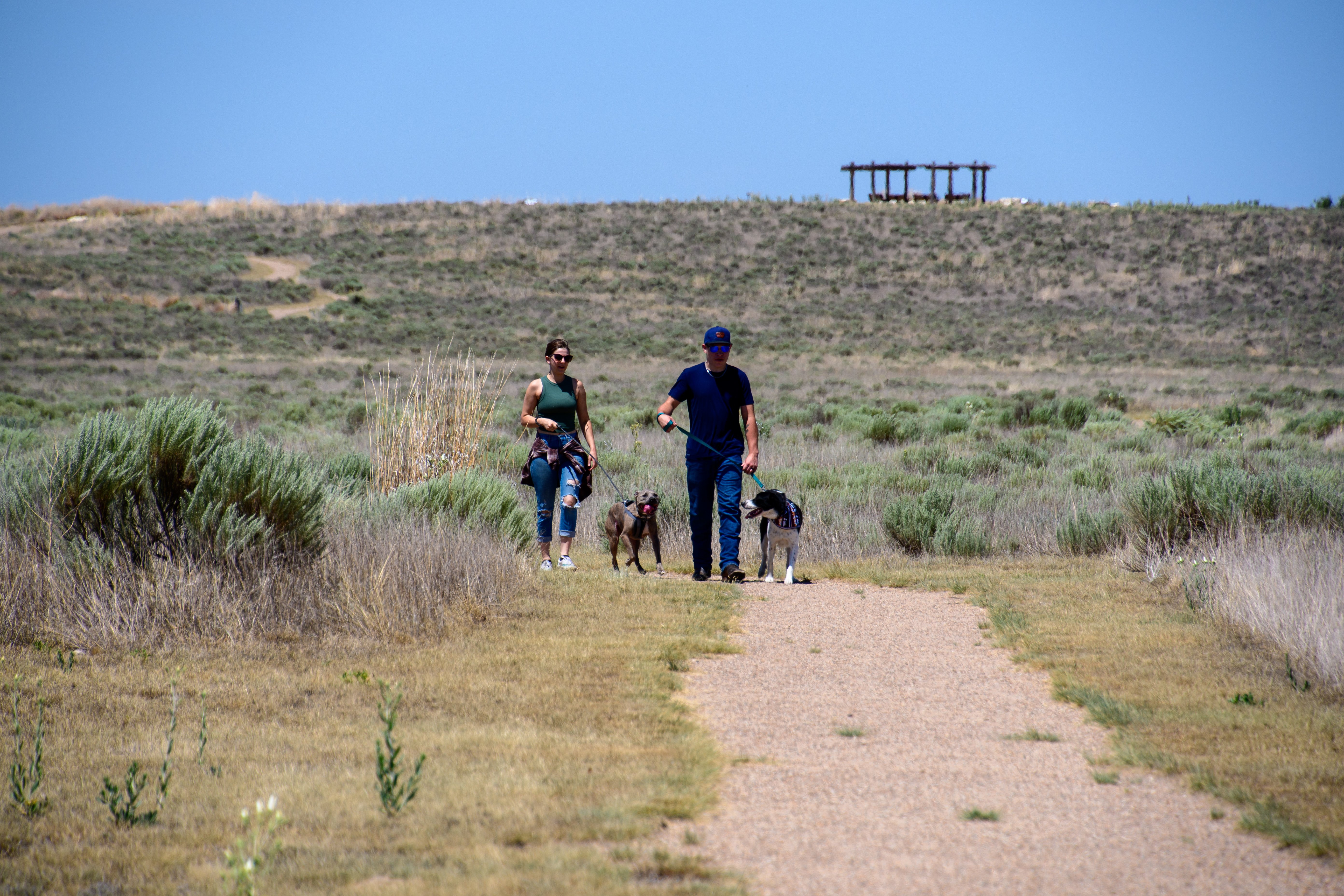
Be a Sand Creek B.A.R.K. Ranger
Bring your furry friend to the Sand Creek Massacre National Historic Site and take the B.A.R.K. Ranger pledge!
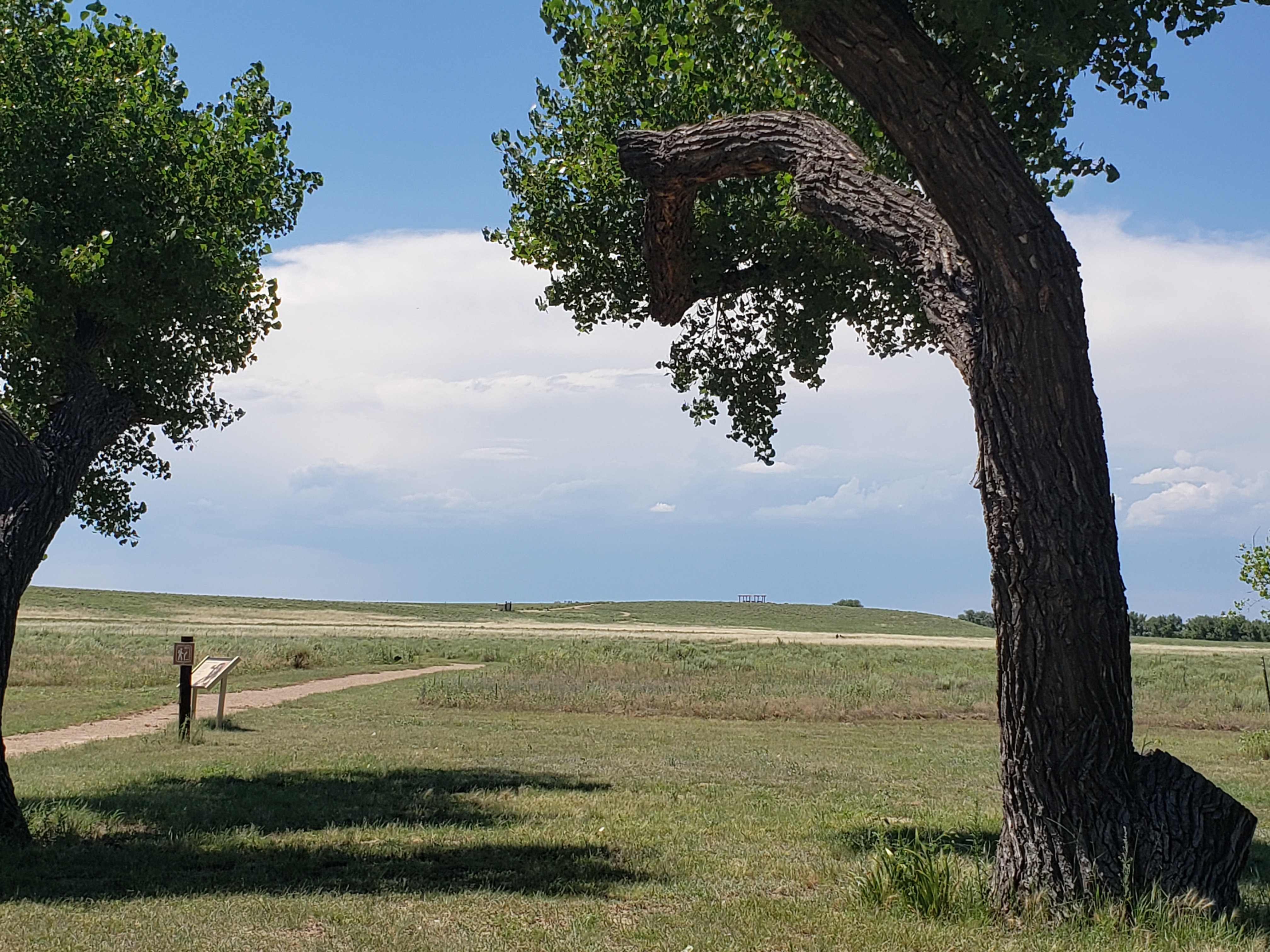
Hike the Monument Hill Trail
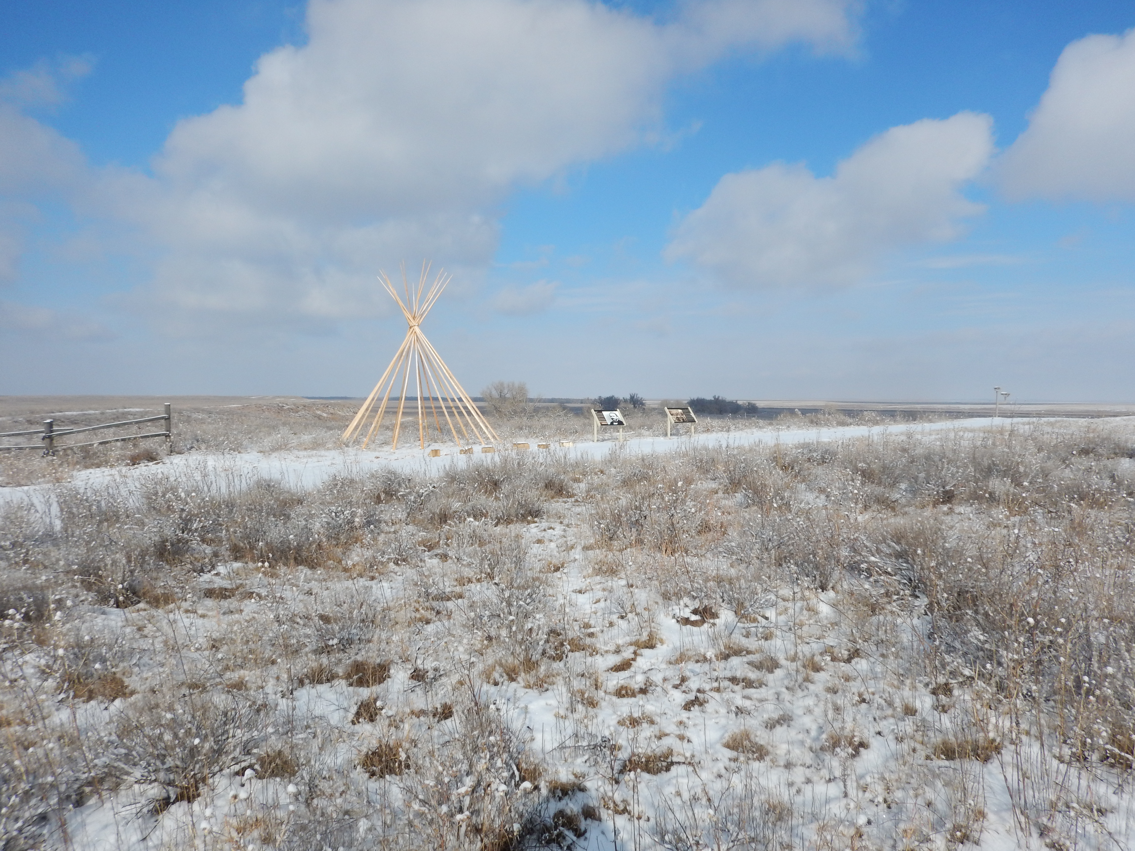
The Monument Hill Trail runs from the orientation area to the hill where the overlook is located. Exhibits and benches along the trail introduce the events which led to the massacre.
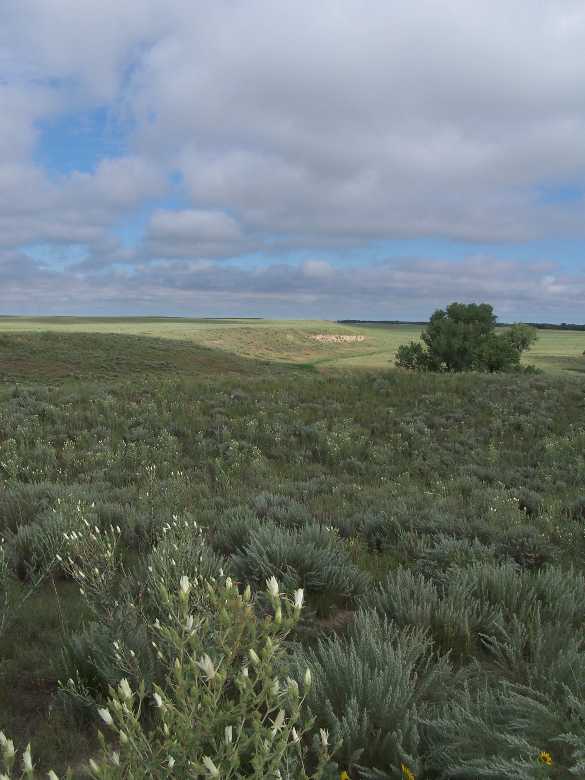
The Bluff Trail
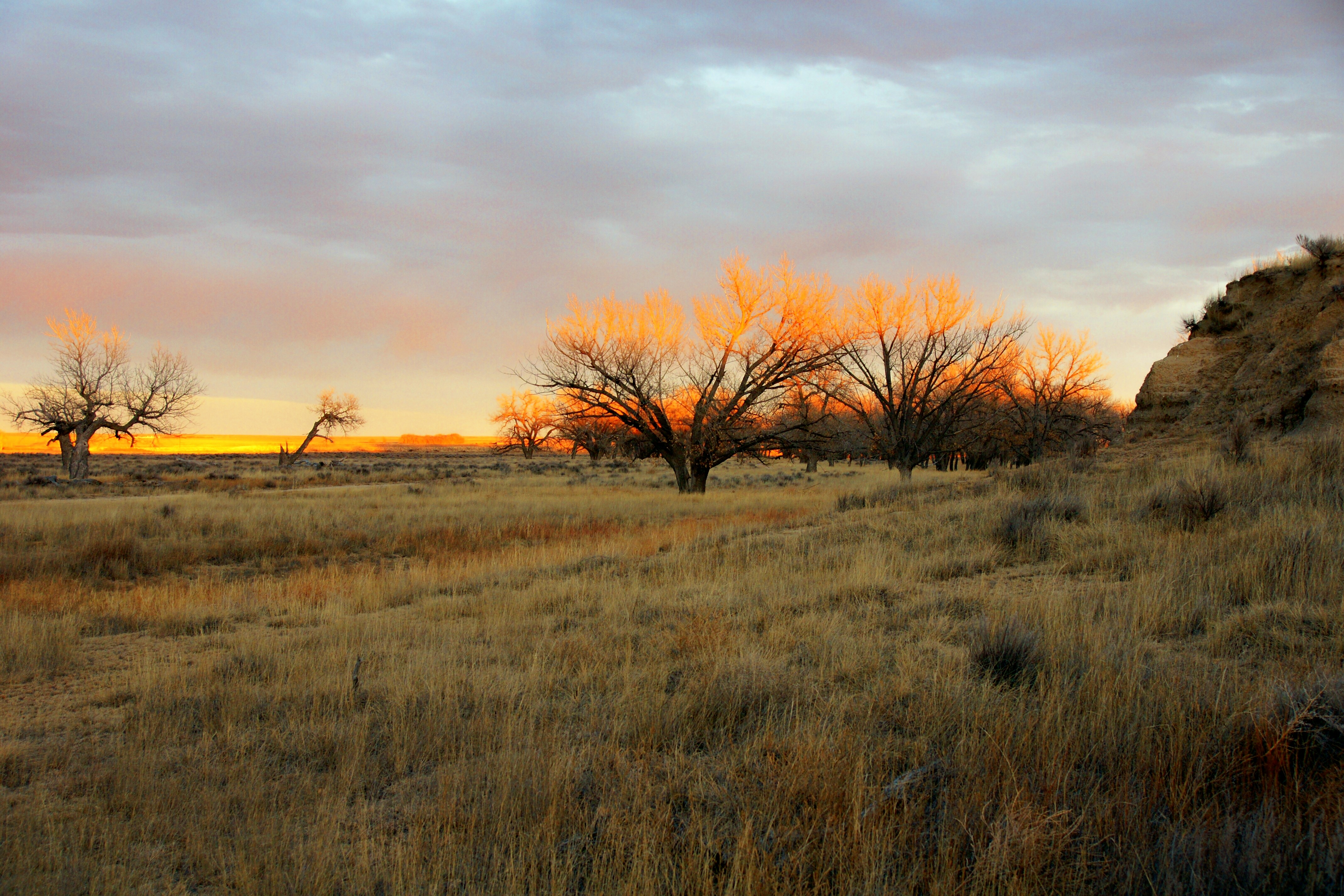
The Bluff Trail is approximately three-quarters of a mile long and runs northwest from the overlook along the bluff overlooking the Big Sandy Creek at roughly the 4,000-foot contour line. Benches and wayside exhibits along the trail allow for moments of peace, solitude, and reflection.
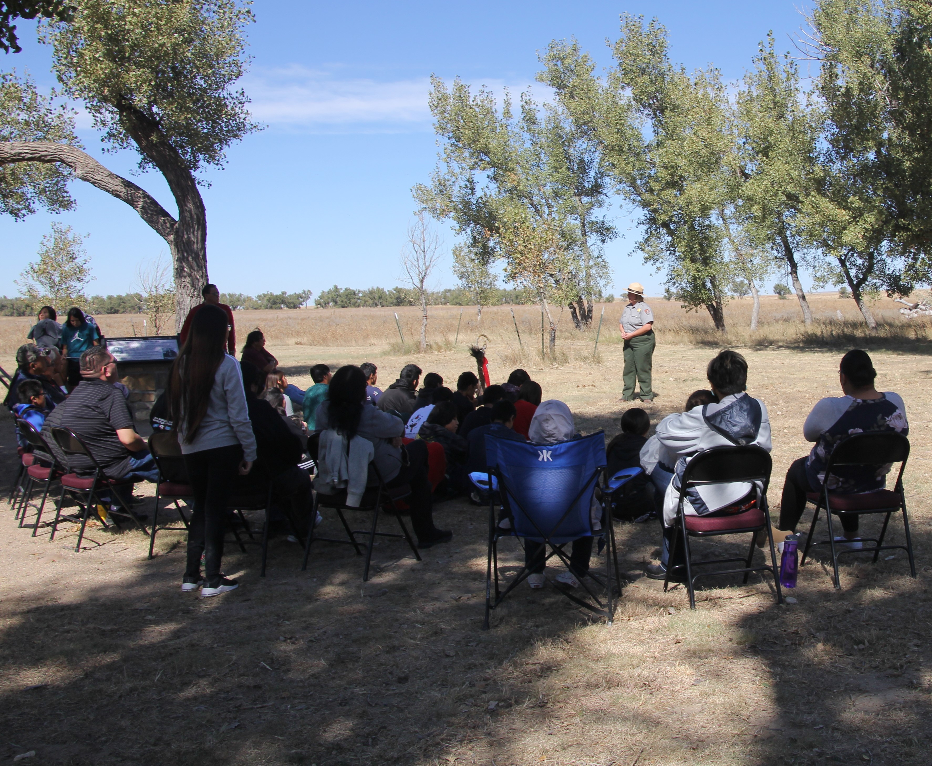
Sand Creek Ranger Talk
The Sand Creek ranger talk discusses the events of the mid 1800's and describes some of the social, economic, and political factors that contributed to the Sand Creek Massacre. Please note that this is a stationary talk, not a walking tour.
Available Activities
Weather
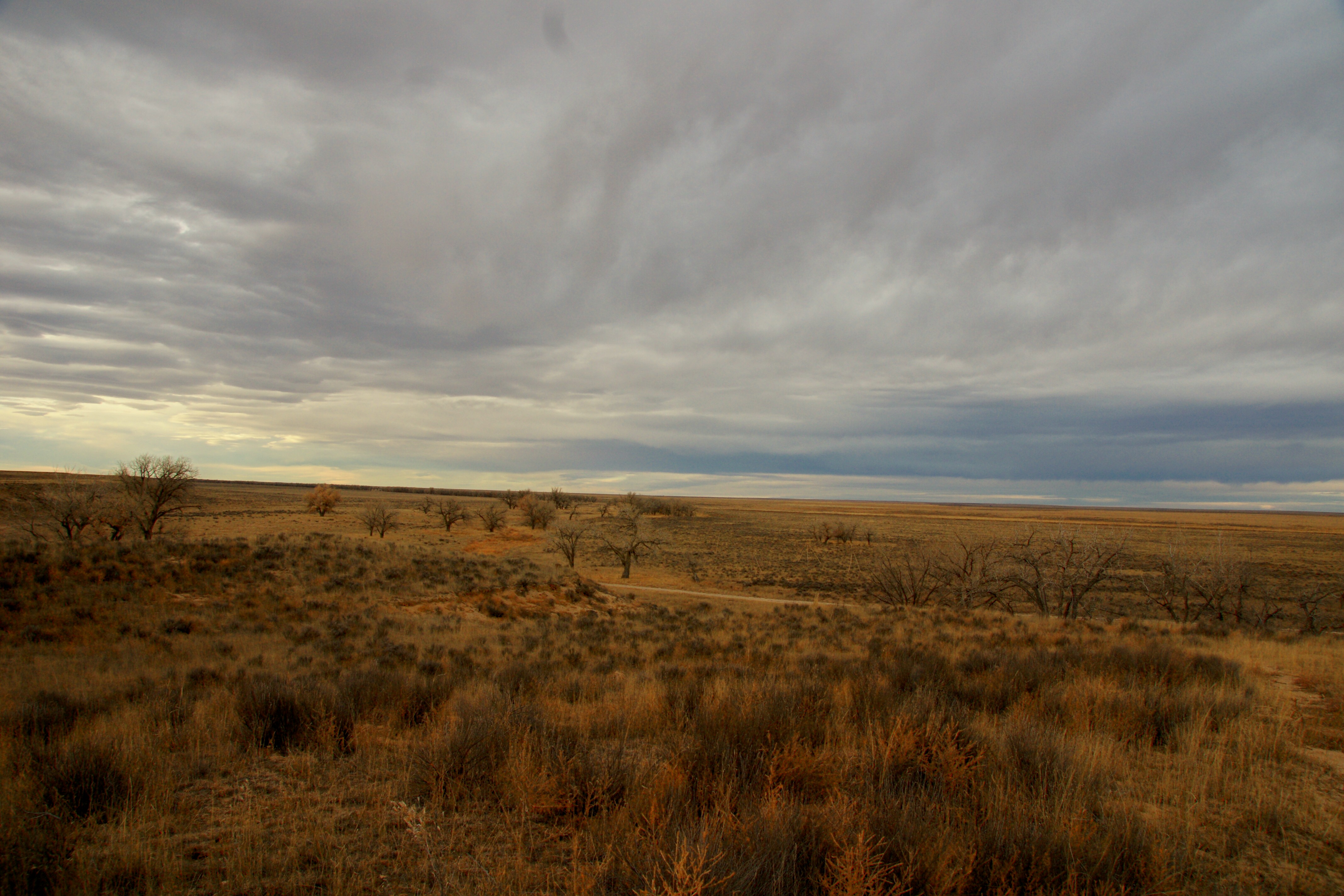
Weather conditions at the park vary considerably. Temperatures range from over 100°F in summer to under 20°F in winter. Visitors can expect blowing dust and sand year-round, especially during infrequent storms.
Getting There
The Sand Creek Massacre is located in Kiowa County, Colorado. To visit the site, follow Colorado State Highway 96 east off Highway 287 near Eads, or west off Highway 385 at Sheridan Lake. Near Chivington, turn north onto County Road 54/Chief White Antelope Way or at Brandon, turn north onto County Road 59.
Follow these roads to their intersections with County Road W. The park entrance is along CR W a mile east (right) of CR 54 or several miles west (left) of CR 59.
Plan Your Visit
Let Roamze help you plan the perfect trip to Sand Creek Massacre National Historic Site with AI-powered itineraries.
Hours
Sand Creek Massacre National Historic Site
The park is located 23 miles outside of the town of Eads, Colorado and is open five days a week. Please view the directions tab for more information.
