Loading trail…

Free — you'll pick up right here.
Watch this trail
Sign up to watch it — saving subscribes you to gate, closure and report changes.
Arizona
2.3 mi
Distance
431 ft
Gain
No agency boundary, access route or field report is mapped to it — so there is no verdict, and we won't guess. We'll tell you the moment this trail has something to say.
Nobody's filed a report here yet — be the first.
Why you'll love it
BLM Trail near South Fork Soap Creek (N)
AI-suggested draft · review before you go
BLM Trail near South Fork Soap Creek (N) — Arizona, 2.3 mi.
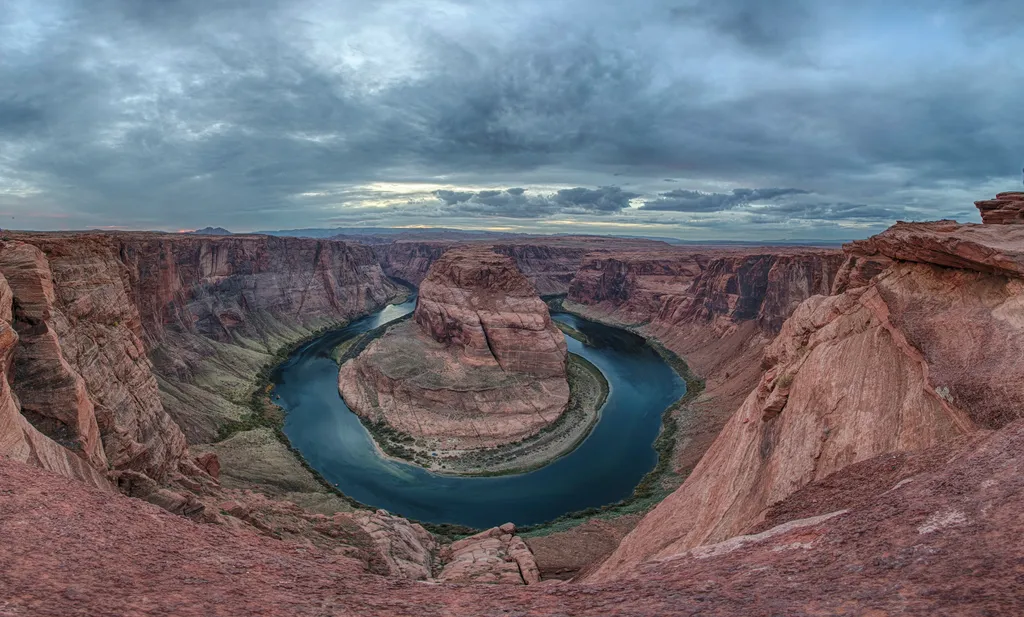
Horseshoe Bend on the Colorado River
~33 min drive
A social media darling, Horseshoe Bend has become one of the most recognized and visited places in Glen Canyon National Recreation Area. The parking lot and trailhead is located off US Highway 89, approximately 5 miles (8 km) south of the Carl Hayden Visitor Center. Changes a…
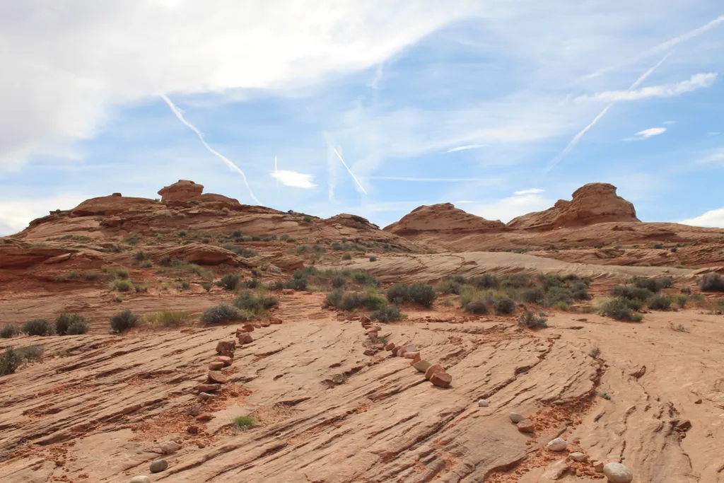
Beehives Trailhead
~38 min drive
Distance Varies Easy Explore the area across from the Wahweap Entrance road for a self-guided adventure through slickrock sand formations. Watch your step, fragile rock shelves underfoot. Trailhead: Parking to explore this area is reached near the Beehives Campground. From U…
BLM Trail near South Fork Soap Creek (SW) #1
~2 min drive
0.0 mi · Easy
BLM Trail near South Fork Soap Creek (SW) #2
~2 min drive
1.1 mi · Easy
BLM Trail near South Fork Soap Creek (NE)
~6 min drive
0.1 mi · Easy
BLM Trail near Emmett Wash
~8 min drive
0.5 mi · Easy
Cathedral Wash
~20 min drive
3.1 mi · Easy
South Canyon Trail
~26 min drive
11 mi · Moderate
Spencer Trail
~26 min drive
3.9 mi · Easy
Historic District River Trail
~26 min drive
Throughout the 1800 and 1900s, Lees Ferry was backdrop to a mix of Westward expansion dreams and failed schemes. Because of its strategic location along the Colorado River, unlikely groups overlapped on these shores. Miners, traders, U.S. government scientist, Church elders,…
Also worth it near here