Loading trail…

Bridle Path (South End)
Free — you'll pick up right here.
Watch this trail
Sign up to watch it — saving subscribes you to gate, closure and report changes.
Arizona
We won't guess. Here is exactly what we do and don't know.
What we do know
Inside Grand Canyon National Park
National Park unit boundary is mapped — agency alerts for it feed this page automatically.
Boundary data
What's missing
No access route mapped
We don't yet know which road reaches this trailhead, so we can't tell you if it's gated.
Nobody's filed a report here yet — be the first.
Bridle Path (South End)
AI-suggested draft · review before you go
No elevation data on file for this trail.
The Bridal Path follows the road (AZ 67) and connects the large parking area of the former Grand Canyon Lodge with the North Kaibab Trailhead. It is 1.6 miles (2.6 km) one-way; allow one hour. There is minimal elevation gain. Pets on a leash, stock use, and bicycles are permitted on this hard packed trail. North Rim Visitors should plan ahead and be prepared for a more remote experience this year, with limited services available as the park continues recovery and restoration work. The 2026 season will focus mainly on day use and limited backcountry access, with some scenic drives, viewpoints, and trails open to visitors. Please keep in mind that potable water will not be available on the North Rim, so be sure to bring plenty of water and food for your visit. North Rim - Current Status and Closures Bridle Path - Trail Information One-way Distance: 1.6 miles (2.6 km) Elevation change: Minimal Average Hiking Time: 1 hour Hike Smart Make a Plan If you are confident in your abilities on this steeply-paved trail, communicate your intentions with someone who will notice if you are overdue. Check the Weather Summer temperatures in the shade routinely pass 100°F (38°C). Avoid hiking between 10 am and 4 pm, the hottest times of day. From July to September, monsoons can build large, violent lightning storms. Seek shelter immediately. In winter and early spring, temperatures can drop below 32°F (0°C) and upper portions of this steep trail become dangerously icy. Hard ice often conceals potentially hazardous passages. Over-the-shoe traction devices are highly recommended. Pack Properly It is critical to determine before your hike: your needs for fluids and for snacks high in calories and salts. Consuming twice as many calories as during normal exercise is realistic for summer canyon hikes. The return hike will likely take twice as long as the hike going down. Wearing sun hats and cool, wet clothing will help regulate your core body temperature during warmer hikes. Energy Balance Your body needs energy balancing. Proper nutrition and hydration are critical to your hiking success! Eat and drink while resting, sip fluids only when thirsty. Too little water leads to dehydration and heat stroke. Excessive hydration and insufficient salt intake can cause hyponatremia—a seizure-producing, electrolyte disorder. If you do not feel well: seek shade, get wet, cool off, eat, and rest. Turning around may be your best option.
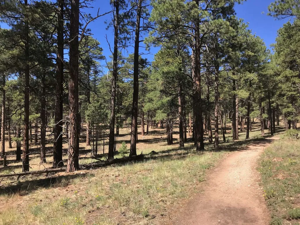
Cape Final Trail
~13 min drive
On May 15, the North Rim reopened for the season. Visitors should plan ahead and be prepared for a more remote experience this year, with limited services available as the park continues recovery and restoration work. The 2026 season will focus mainly on day use and limited b…
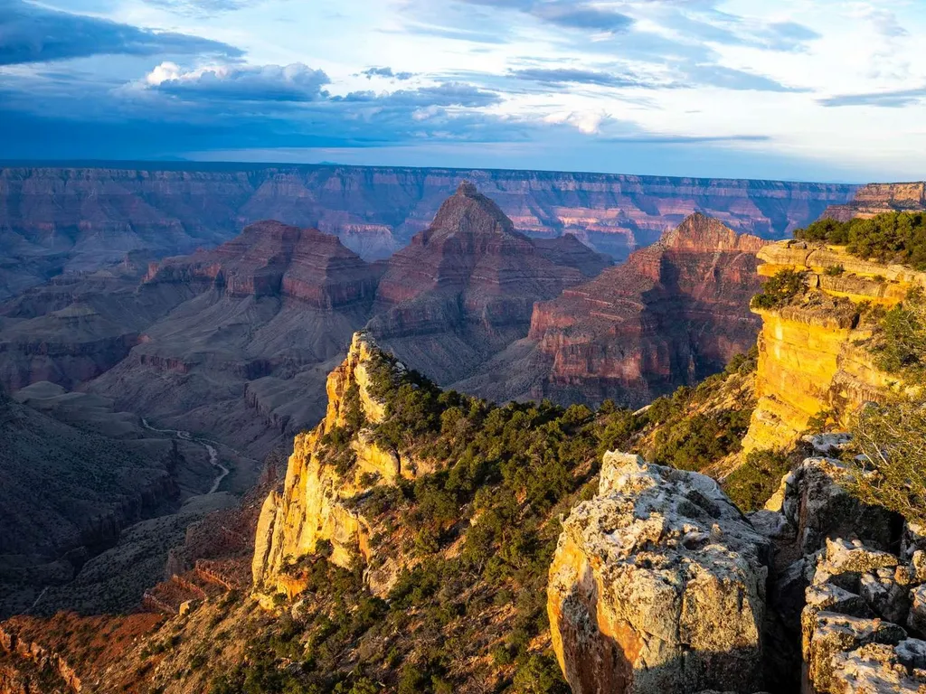
Cape Final
~16 min drive
On May 15, the North Rim reopened for the season. Visitors should plan ahead and be prepared for a more remote experience this year, with limited services available as the park continues recovery and restoration work. The 2026 season will focus mainly on day use and limited b…
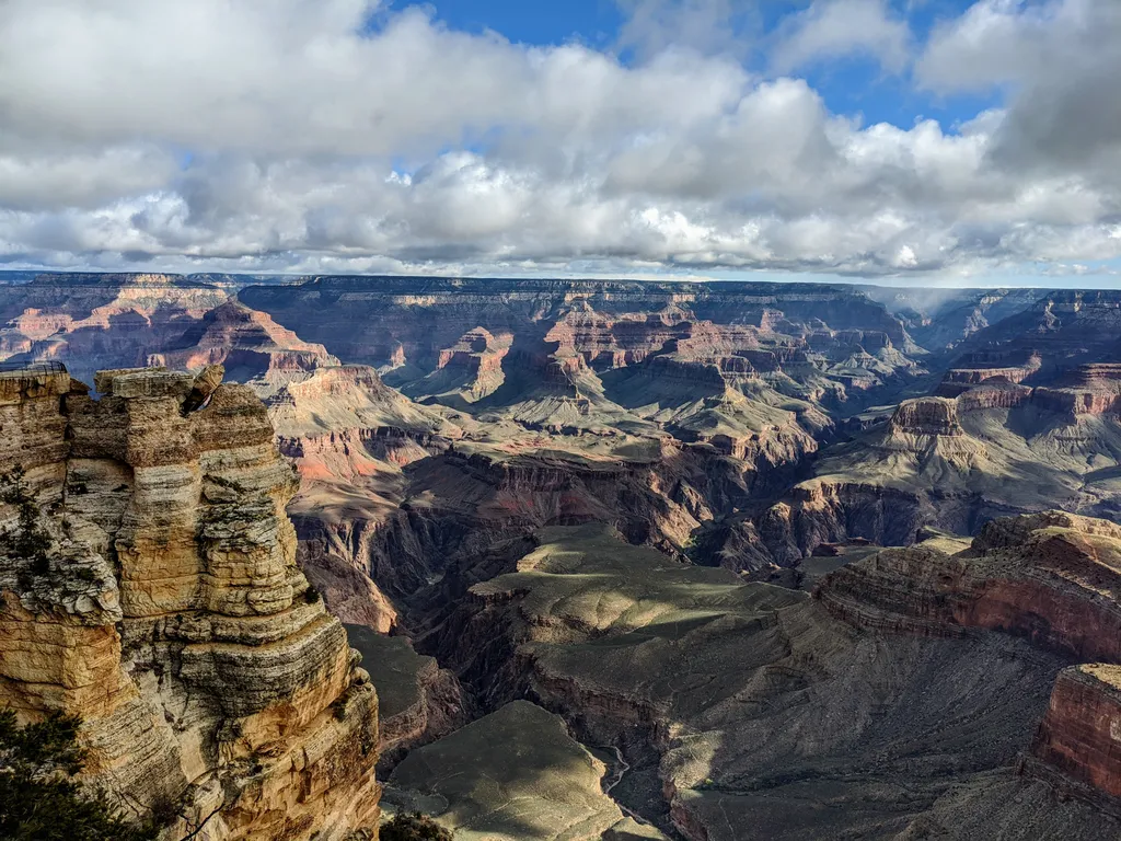
Rim Trail - Mather Point
~17 min drive
The Rim Trail is a mostly paved path that stretches roughly 13 miles (21 km) along the southern rim of Grand Canyon from South Kaibab Trailhead in the east to Hermits Rest in the west. Most people won't hike the whole trail in one go, but walking short sections of the rim can…
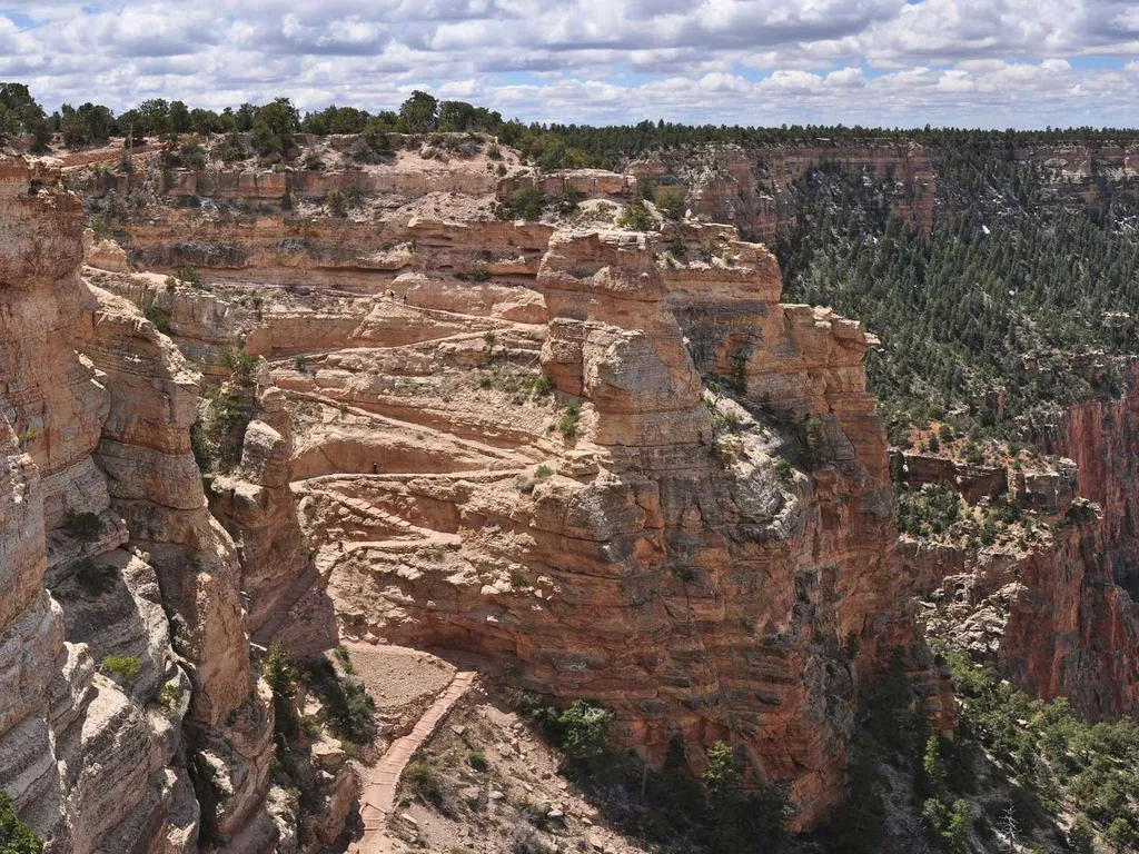
South Kaibab Trail
~18 min drive
Know Before You Go Before heading down into the canyon, consult the signs at the trailhead, and scan the QR code for trip planning, current weather, water availability, and trail information/closures. (or visit our Key Hiking Messages webpage). Trail Reopenings and Current C…
Nature Trail
~0 min drive
0.7 mi · Easy
Transept Trail (Grand Canyon Lodge)
~1 min drive
With the exception of where it passes along the rim within the North Rim Campground, the Transept Trail is CLOSED - due to extensive fire damage. North Rim Visitors should plan ahead and be prepared for a more remote experience this year, with limited services available as th…
North Kaibab Trail
~1 min drive
29 mi · Hard
North Rim Backcountry Information Center (2026)
~1 min drive
During the 2026 North Rim season, Backcountry Information staff will be available daily from 8 am – 12 pm, at the North Rim Campground Kiosk adjacent to the campground and General Store. They can answer questions about hiking conditions, trail access, and trip planning. At th…
Transept Trail Intersection with Bridle Path by AZ SR67
~2 min drive
With the exception of where it passes along the rim within the North Rim Campground, the Transept Trail is CLOSED - due to extensive fire damage. North Rim Visitors should plan ahead and be prepared for a more remote experience this year, with limited services available as th…
Bridle Path (North End)
~2 min drive
Starting from the North Kaibab Trailhead, the trail heads south, following the road (SR 67) for 1.6 miles (2.6 km) - until it reaches the parking lot of the former Grand Canyon lodge - the only available parking for oversized vehicles. Allow one hour each way. From the South K…