Loading trail…

Desert Discovery Trail
Free — you'll pick up right here.
Watch this trail
Sign up to watch it — saving subscribes you to gate, closure and report changes.
Arizona
We won't guess. Here is exactly what we do and don't know.
What we do know
Inside Saguaro National Park
National Park unit boundary is mapped — agency alerts for it feed this page automatically.
Boundary data
What's missing
No access route mapped
We don't yet know which road reaches this trailhead, so we can't tell you if it's gated.
Nobody's filed a report here yet — be the first.
Desert Discovery Trail
AI-suggested draft · review before you go
No elevation data on file for this trail.
The Desert Discovery Trail is an easy, paved, accessible, 0.5 mile (0.8 km) trail in Saguaro National Park's west district. The trailhead is located along Kinney Road, 1 mile (1.6 km) northwest from the Red Hills Visitor Center. Interpretive signage along the trail provides an introduction to the ecology and habitats of the Sonoran Desert. There are several shade structures and benches along the way. This trail features any large and impressive saguaros along with impressive views of Avra Valley to the west and the Quinlan Mountains and the Baboquivari Mountains to the southwest. This is a great introduction to Saguaro National Park and a family-friendly trail that allows pets on leash and is accessible to wheelchairs.
Javelina Wash Trail
~2 min drive
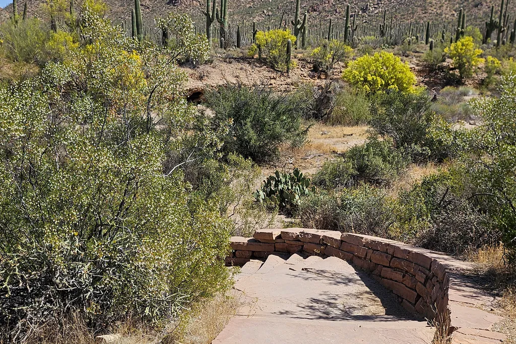
A 600-yard loop trail through the wash behind the Red Hills Visitor Center, looping through the wash from one end of the building to the other. Flat, but sandy and rocky, with stairs at either end. Follow the self-guided "Signs of Life in the Desert" tour under Self-Guided To…
Signal Hill (West District)
~3 min drive
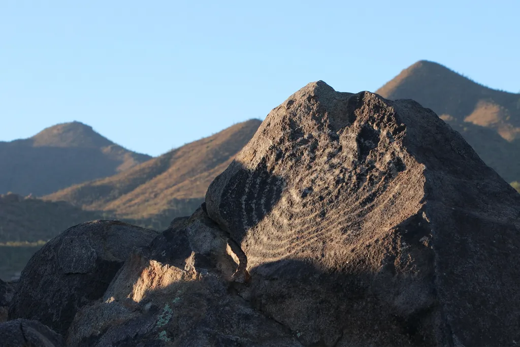
Signal Hill is a popular multi-use area along the Bajada Loop Drive in Saguaro National Park's west district. This is a popular destination, as it is the best place to see petroglyphs within the park. There are trails that start from this destination, as well as a picnic area.…
Sus Picnic Area (West District)
~1 min drive
This is the closest picnic area to the Red Hills Visitor Center in the west district of Saguaro National Park. It is along the Bajada Loop Drive.
Hugh Norris Big Loop
~1 min drive
6.8 mi · Hard
Cactus Garden Trail
~2 min drive
A paved, 300-foot (91 m) accessible loop trail, located on the west side of the Red Hills Visitor Center parking lot. This short trail provides a great introduction to the notable species of the Sonoran Desert, featuring signs that identify and interpret many of the most commo…
Saguaro National Park West
~2 min drive
Tucson, Arizona is home to the nation's largest cacti. The giant saguaro is the universal symbol of the American west. These majestic plants, found only in a small portion of the United States, are protected by Saguaro National Park, to the east and west of the modern city of…
Valley View Trail
~2 min drive
0.8 mi · Easy
Valley View Overlook Nature Trail
~2 min drive
The Valley View Overlook Nature Trail is an easy 0.8 mile (1.3 km) roundtrip trail, starting at the Valley View Trailhead along the Bajada Loop Scenic Drive in Saguaro National Park's west district. This short trail was built by the Civilian Conservation Corps in the 1930s. T…
King Canyon Trailhead
~5 min drive
This trailhead is located in Tucson Mountain Park, just outside of the National Park boundary. It is the starting point for several trails: the King Canyon Trail (3.5miles up to Wasson Peak), King Canyon Wash Trail (meets back up with King Canyon Trail 0.9mi up the dry river b…
King Canyon / Gould Mine Loop
~5 min drive
15 mi · Hard