Loading trail…

Grandview Point
Free — you'll pick up right here.
Watch this trail
Sign up to watch it — saving subscribes you to gate, closure and report changes.
Arizona
We won't guess. Here is exactly what we do and don't know.
What we do know
Inside Grand Canyon National Park
National Park unit boundary is mapped — agency alerts for it feed this page automatically.
Boundary data
What's missing
No access route mapped
We don't yet know which road reaches this trailhead, so we can't tell you if it's gated.
Nobody's filed a report here yet — be the first.
Grandview Point
AI-suggested draft · review before you go
No elevation data on file for this trail.
Grandview Point is one of the most popular South Rim viewpoints in the park. It is located along Desert View Drive (SR 64), halfway between Grand Canyon Village (10.2 miles/16.4 K) and Desert View (13.8 miles/22.2 K). The viewpoint offers breathtaking panoramic views of the canyon and is known for stunning sunrises and sunsets. Key Features: Elevation: Grandview Point is approximately 7,400 feet (2,250 meters) above sea level, making it one of the highest points along the South Rim. From Grandview Point, travelers can see vast expanses of the canyon, including the Colorado River and the layers of colorful rock strata that reveal the geological history of the area. Visitor Facilities: At the overlook, there are parking areas and vault toilets available. Drinking water is not available. Safety Considerations: Due to its elevation and the rugged terrain, visitors should wear appropriate footwear and be cautious near the canyon’s edge. Historic Trail: The Grandview Trail starts here at the scenic overlook and plunges steeply into the canyon. Originally constructed in the late 1800s, this trail served mining operations, enabling the transport of copper ore using burros and mules. Today the trail is popular with hikers looking for a more rugged experience. Trail Difficulty: Hard/Strenous. During summer, much of the trail is in full sun. In winter, ice and snow make hiking treacherous. Always use caution on the Grandview Trail and consult a park ranger at one of the visitor centers or the Backcountry Information Center for the latest weather and trail conditions.
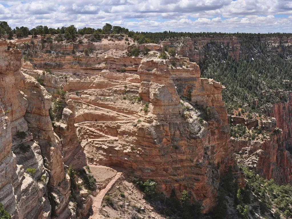
South Kaibab Trail
~11 min drive
Know Before You Go Before heading down into the canyon, consult the signs at the trailhead, and scan the QR code for trip planning, current weather, water availability, and trail information/closures. (or visit our Key Hiking Messages webpage). Trail Reopenings and Current C…
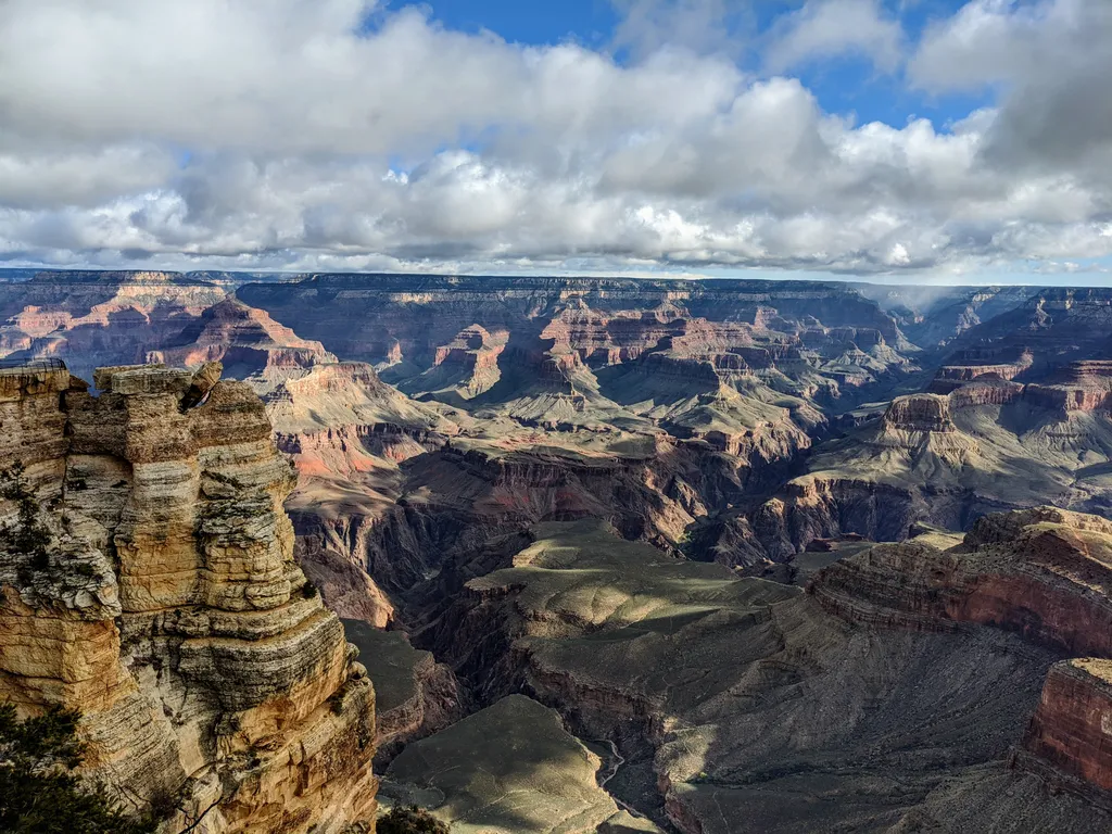
Rim Trail - Mather Point
~14 min drive
The Rim Trail is a mostly paved path that stretches roughly 13 miles (21 km) along the southern rim of Grand Canyon from South Kaibab Trailhead in the east to Hermits Rest in the west. Most people won't hike the whole trail in one go, but walking short sections of the rim can…
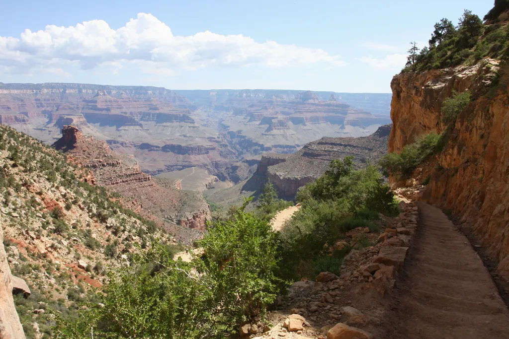
Bright Angel Trail
~17 min drive
The most popular hiking trail into Grand Canyon, the Bright Angel Trail lets hikers walk in the footsteps of the canyon's Indigenous peoples, miners, and early tourists, as they descend into the canyon's depths. Offering outstanding views, morning and afternoon shade, resthous…
Hance Creek Trail
~3 min drive
2.9 mi · Easy
Cottonwood Creek Trail
~3 min drive
3.2 mi · Easy
Hayduke Trail #12
~4 min drive
266 mi · Hard
Tonto Trail
~4 min drive
91 mi · Hard
Grandview Trail
~5 min drive
8.6 mi · Moderate
New Hance Trail
~5 min drive
12 mi · Moderate
Tusayan Mtn Bike
~5 min drive
34 mi · Hard
Also worth it near here