Loading trail…

Mohave Point
Free — you'll pick up right here.
Watch this trail
Sign up to watch it — saving subscribes you to gate, closure and report changes.
Arizona
We won't guess. Here is exactly what we do and don't know.
What we do know
Inside Grand Canyon National Park
National Park unit boundary is mapped — agency alerts for it feed this page automatically.
Boundary data
What's missing
No access route mapped
We don't yet know which road reaches this trailhead, so we can't tell you if it's gated.
Nobody's filed a report here yet — be the first.
Mohave Point
AI-suggested draft · review before you go
No elevation data on file for this trail.
Another spectacular point for watching sunset, Mohave Point offers excellent views of the Colorado River deep in the canyon below. From here you can also see the Salt Creek, Granite, and Hermit rapids. Below this viewpoint, 'The Alligator' named by Emery Kolb points across the Colorado River to the 'Tower of Set', named by painter Thomas Moran. Next to these are the Horus and Osiris temples. To the left of these, you will see the 'Tower of Ra'. Off to the right, 'Isis Temple'. What shapes or inspiring features do you seen in the canyon?
Bright Angel Trail
~3 min drive
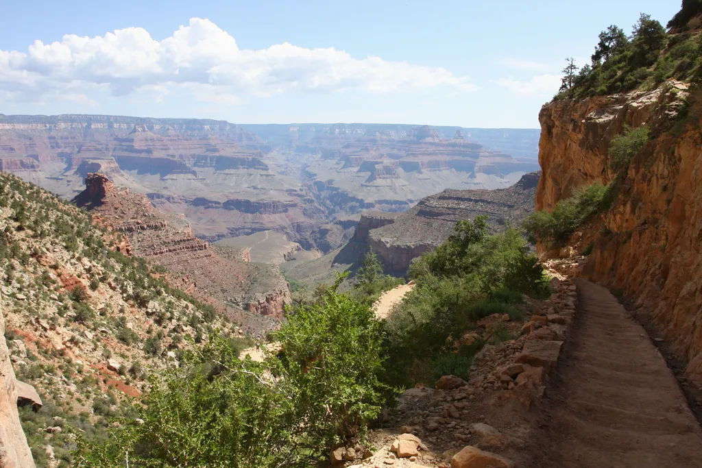
The most popular hiking trail into Grand Canyon, the Bright Angel Trail lets hikers walk in the footsteps of the canyon's Indigenous peoples, miners, and early tourists, as they descend into the canyon's depths. Offering outstanding views, morning and afternoon shade, resthous…
Hermit Trail Grand Canyon
~5 min drive
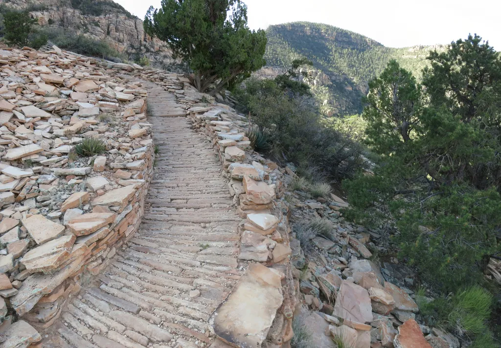
Louis D. Boucher, the "hermit" of Hermit Creek basin, lived in this area for 20 years. Boucher built the Boucher Trail (west of the Hermit Trail) and seasonal residences at Dripping Springs and near Boucher Creek. Though socially active in the South Rim community, residents la…
Rim Trail - Mather Point
~6 min drive
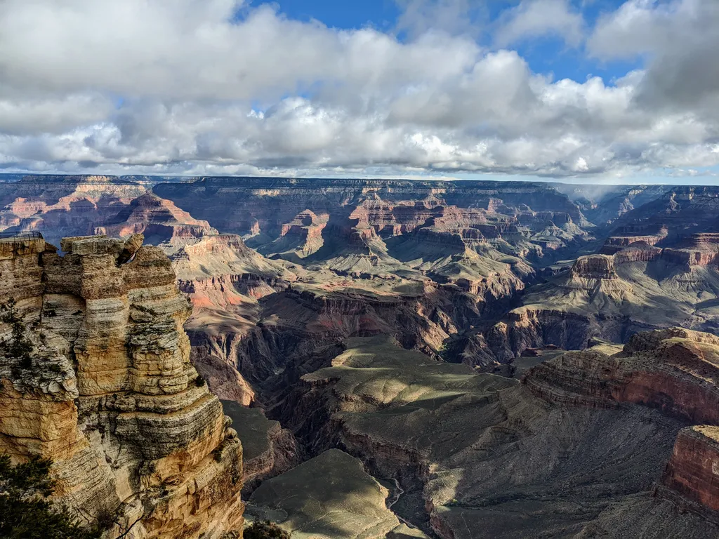
The Rim Trail is a mostly paved path that stretches roughly 13 miles (21 km) along the southern rim of Grand Canyon from South Kaibab Trailhead in the east to Hermits Rest in the west. Most people won't hike the whole trail in one go, but walking short sections of the rim can…
South Kaibab Trail
~8 min drive
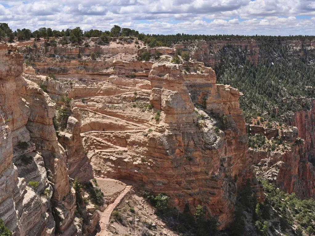
Know Before You Go Before heading down into the canyon, consult the signs at the trailhead, and scan the QR code for trip planning, current weather, water availability, and trail information/closures. (or visit our Key Hiking Messages webpage). Trail Reopenings and Current C…
Hopi Point
~1 min drive
This viewpoint offers panoramic and breathtaking views of the canyon along the scenic Hermit Road. An ideal location for sunrise or sunset, Hopi Point also offers five views of the Colorado River. Vault toilets available. Most of the year Hopi Point is only accessible by the…
Powell Monument
~1 min drive
The park's largest monument (in size) is found here. Completed in 1915 to honor Major John Wesley Powell and his group—the first to 'run' the Colorado River in Grand Canyon, this area also bore witness to the park's formal dedication in 1920. The plaque at the top of the stai…
Monument Creek Trail
~3 min drive
2.6 mi · Easy
Hermit Road - Bus Transfer Station - Village (Blue) Route
~3 min drive
Nearby: Beginning of Hermit Road and (Red) Route Shuttle (Transfer Station) Canyon Rim Trail Bright Angel Trailhead Kolb Studio This is one of the busiest shuttle stops in the park, located on the west end of the Village Historic District. This shuttle stop provides acce…
Stone Corral and Mule Power Exhibit
~3 min drive
Most of the day this simple small corral sits empty, but stop by early in the morning and you'll have a chance to see the chaos of wranglers, mules, and eager mule riders as everyone gets ready for a once in a lifetime trip into the depths of Grand Canyon for an overnight stay…
Village Greenway
~3 min drive
4.9 mi · Easy
Also worth it near here