Loading trail…

Free — you'll pick up right here.
Watch this trail
Sign up to watch it — saving subscribes you to gate, closure and report changes.
Arizona
14.0 mi
Distance
1,653 ft
Gain
We won't guess. Here is exactly what we do and don't know.
What we do know
Inside Coconino National Forest
2 managing-area boundaries mapped — agency alerts for them feed this page automatically.
Boundary data
What's missing
No access route mapped
We don't yet know which road reaches this trailhead, so we can't tell you if it's gated.
Nobody's filed a report here yet — be the first.
Why you'll love it
Mooney #12
AI-suggested draft · review before you go
This trail was originally built to drive cattle to and from summer pastures on the rim and is still used for this purpose. Because of this relationship to ranching, this is a wide, well constructed trail.
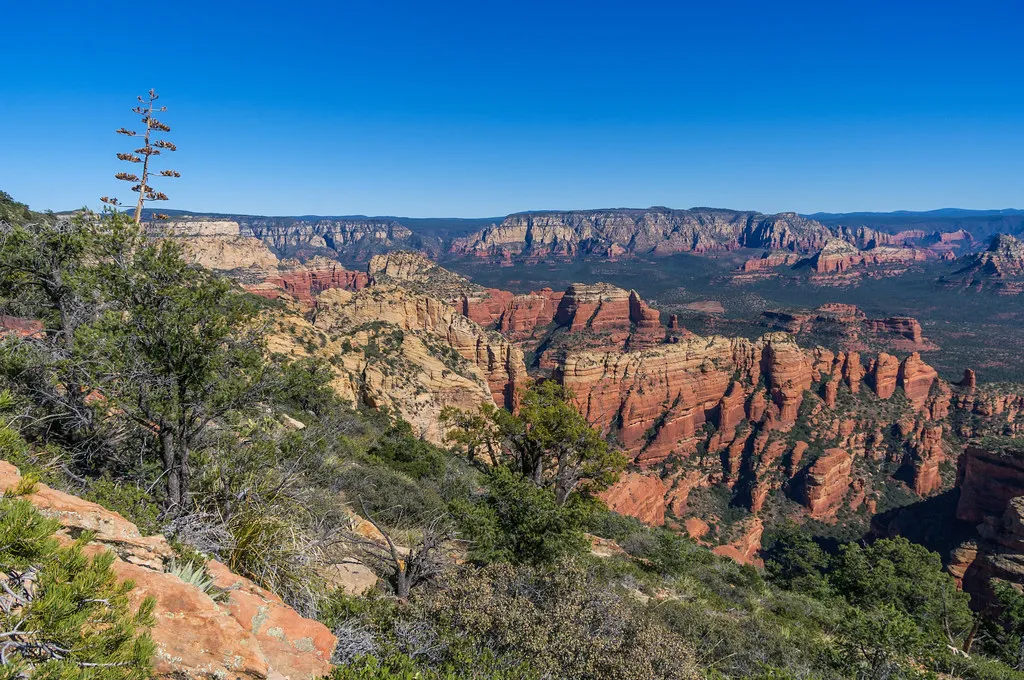
Bear Mountain #54
~10 min drive
4.6 mi · Easy
Honanki #79
~1 min drive
0.6 mi · Easy
Loy Canyon #5
~2 min drive
9.7 mi · Moderate
Casner Mountain
~4 min drive
14 mi · Hard
Dogie
~5 min drive
10 mi · Hard
Palatki Ruins Loop #80
~5 min drive
0.3 mi · Easy
Red Cliff #62
~5 min drive
0.5 mi · Easy
Palatki Ruins Loop Spur #80A
~5 min drive
0.5 mi · Easy
Taylor Cabin
~5 min drive
5.0 mi · Hard
Palatki Ruins Face #80B
~5 min drive
0.1 mi · Easy