Loading trail…

Stud Horse Trailhead
Free — you'll pick up right here.
Watch this trail
Sign up to watch it — saving subscribes you to gate, closure and report changes.
Arizona
We won't guess. Here is exactly what we do and don't know.
What we do know
Inside Glen Canyon National Recreation Area
National Park unit boundary is mapped — agency alerts for it feed this page automatically.
Boundary data
What's missing
No access route mapped
We don't yet know which road reaches this trailhead, so we can't tell you if it's gated.
Nobody's filed a report here yet — be the first.
Stud Horse Trailhead
AI-suggested draft · review before you go
No elevation data on file for this trail.
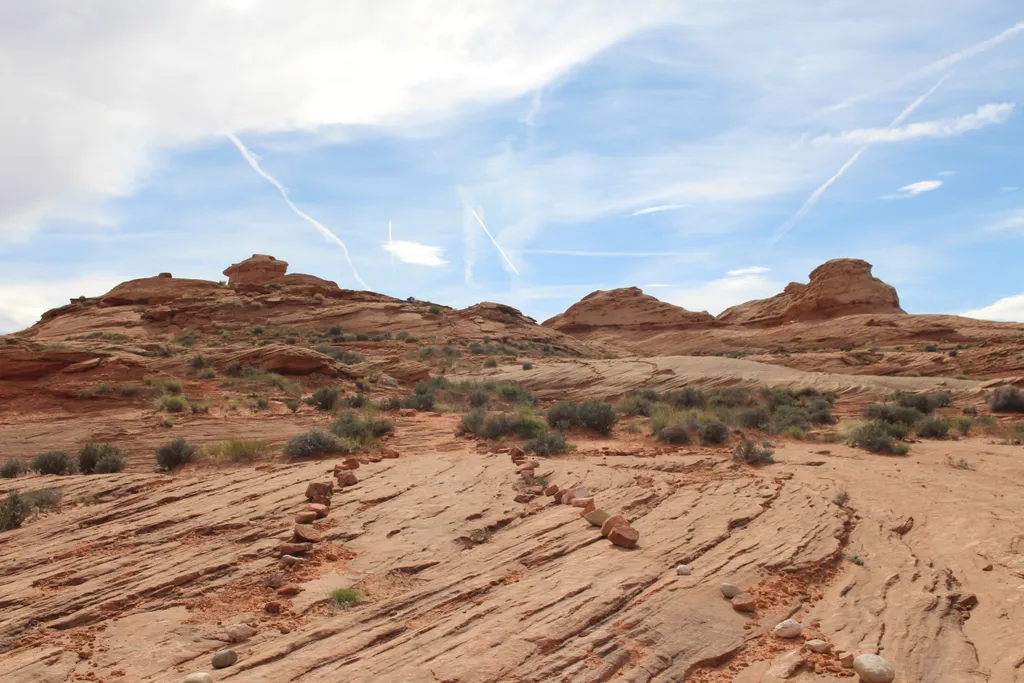
Distance: Varies Easy/Moderate Build your own adventure when exploring the 6.5 mi (10.4 km) network of trails. Explore an area with large hoodoos scattered throughout and distance views of Lake Powell and Skylight Arch. Trailhead: Take Highway 89 north 7.6 mi (12.2 km) past the Carl Hayden Visitor Center. Turn left on to Seismograph Road and follow for 0.75 mi (1.2 km) and turn left. Continue 1.5 mi (2.4 km) until you see a BLM wayside and a fork in the road, keep left. Continue on this road as it curves right to head west to connect to Powerline Road. Stay on this Powerline Road for approximately 1.1 mi (1.7 km) and turn right heading north and up onto the mesa and the parking for the trailhead. High clearance vehicles are recommended.
Beehives Trailhead
~13 min drive
Distance Varies Easy Explore the area across from the Wahweap Entrance road for a self-guided adventure through slickrock sand formations. Watch your step, fragile rock shelves underfoot. Trailhead: Parking to explore this area is reached near the Beehives Campground. From U…
Horseshoe Bend on the Colorado River
~18 min drive
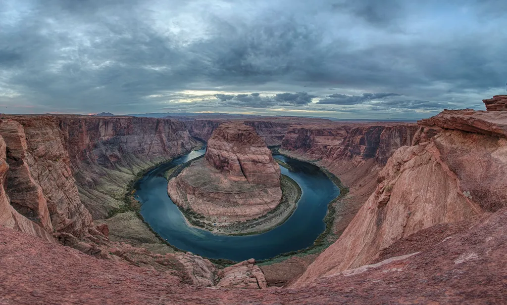
A social media darling, Horseshoe Bend has become one of the most recognized and visited places in Glen Canyon National Recreation Area. The parking lot and trailhead is located off US Highway 89, approximately 5 miles (8 km) south of the Carl Hayden Visitor Center. Changes a…
BLM Trail near Ferry Swale Canyon
~9 min drive
4.5 mi · Moderate
Hanging Garden Trailhead
~15 min drive
Distance: 1 mile (1.6 km) round-trip Easy to Moderate This hike leads you to a luxuriant Hanging Garden on a mesa high above Lake Powell. Securely hidden by Jurassic Navajo sandstone, this seep spring quickly takes hostage every drop of rainwater it can absorb. Slowly it libe…
Dam Overlook Trailhead
~16 min drive
Distance: 940 feet (286 m) Easy This very short walk takes you to a viewpoint on the canyon rim high above the Colorado River. It affords an unparalleled view of the river, the canyon, and Glen Canyon Dam. This scenic view provides spectacular vistas of the Colorado River as…
Historic District River Trail
~17 min drive
Throughout the 1800 and 1900s, Lees Ferry was backdrop to a mix of Westward expansion dreams and failed schemes. Because of its strategic location along the Colorado River, unlikely groups overlapped on these shores. Miners, traders, U.S. government scientist, Church elders,…
Spencer Trail
~17 min drive
3.9 mi · Easy
Spencer Trail
~17 min drive
Rough mule trail for hauling Charles G. Spencer’s gold mining supplies. Built 1910 Spencer’s mining machinery needed fuel. As the rest of the miners hauled equipment to Lees Ferry, two men spend the fall of 1910 building a trail up this sheer cliff to a coalmine at Warm Cree…
Rimview Trail
~17 min drive
10 mi · Hard
Cathedral Wash
~21 min drive
3.1 mi · Easy
Also worth it near here