Loading trail…

Free — you'll pick up right here.
Watch this trail
Sign up to watch it — saving subscribes you to gate, closure and report changes.
Colorado
6.5 mi
Distance
1,929 ft
Gain
We won't guess. Here is exactly what we do and don't know.
What we do know
Inside Rio Grande National Forest
3 managing-area boundaries mapped — agency alerts for them feed this page automatically.
Boundary data
What's missing
No access route mapped
We don't yet know which road reaches this trailhead, so we can't tell you if it's gated.
Nobody's filed a report here yet — be the first.
Why you'll love it
Broken Hand Pass
AI-suggested draft · review before you go
Broken Hand Pass is a 16.3-mile out-and-back trail located in Colorado near the San Juan National Forest, managed by the Gunnison Ranger District. The route gains 1,929 feet in elevation, making it a moderately challenging day hike or backpacking option. This trail provides access to Broken Hand Pass, a scenic high-country destination within the San Juan range. The out-and-back format means hikers experience the same route on both the ascent and descent, allowing for flexibility in turnaround times depending on fitness level and daylight availability. The elevation gain is distributed across the full distance, creating a steady climb to the pass. The San Juan National Forest setting offers typical high-altitude Colorado terrain, with subalpine forests and alpine meadows as elevation increases. This hike is suitable for hikers with intermediate fitness levels and experience at elevation. Plan for a full day of hiking, bring adequate water and weather-appropriate gear, and check conditions with the Gunnison Ranger District before heading out.
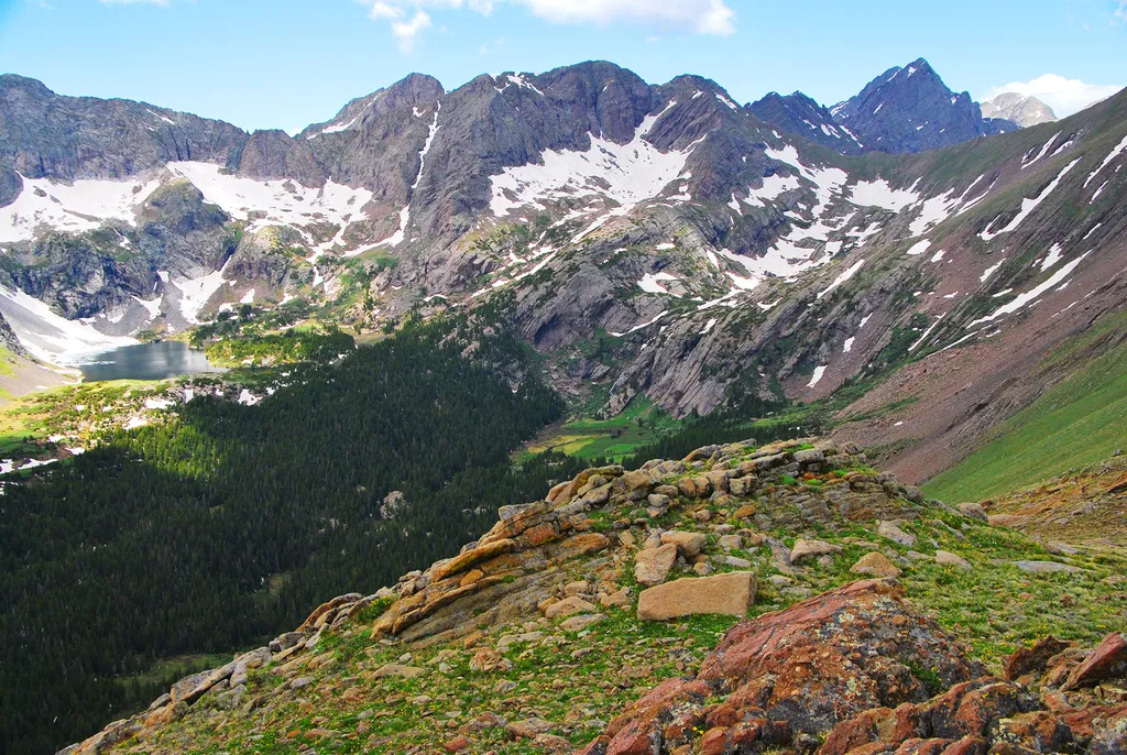
Sand Creek Basin
~4 min drive
<p>Sand Creek Basin is part of the alpine watershed of Great Sand Dunes National Preserve. A longer drive and hike is required to reach these lakes and peaks, but the mountain scenery is worth the effort. Check with a ranger for conditions before travel. Snow may block these t…

Comanche
~12 min drive
8.8 mi · Expert
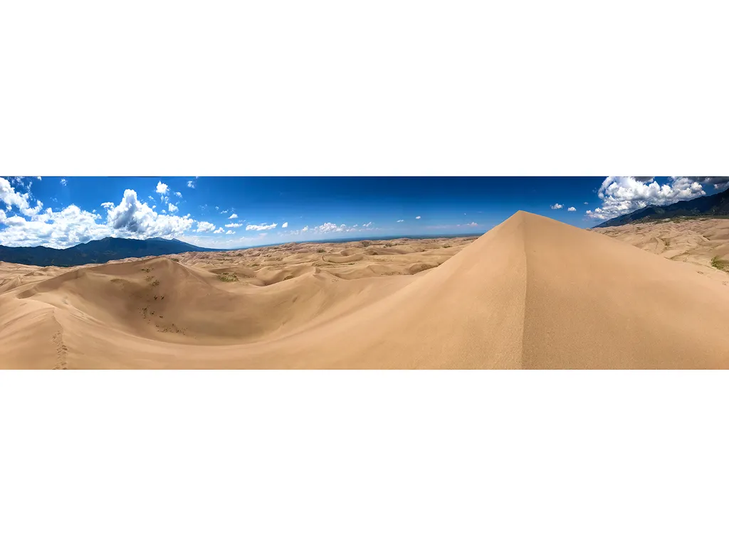
Hidden Dune
~21 min drive
Hidden Dune is currently tied with Star Dune as the two tallest dunes in North America at 741 feet/225 m. Hidden Dune is named for its remote location in the dunefield, where it is not visible from most of the main visitor day use areas. It is even hidden from much of the high…
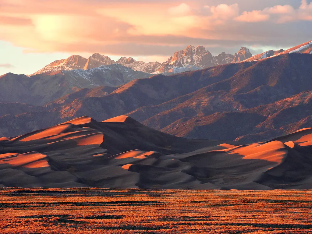
Star Dune
~25 min drive
Star Dune is currently tied with Hidden Dune as the two tallest dunes in North America. It is a majestic dune now measuring 741 feet (225 m) from base to summit. While it can be hiked from the summit of High Dune on First Ridge, it's more direct, and less up and down, to acces…
High Dune on First Ridge
~25 min drive
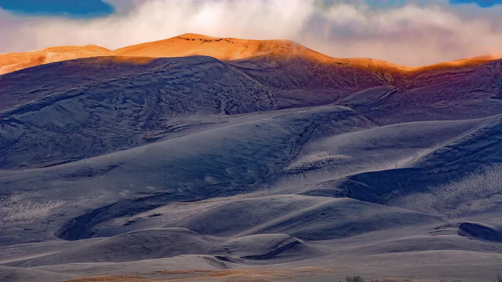
The high dune on the first ridge is neither the highest in elevation nor the tallest in the dunefield, but it looks that way from the main parking lot. This is the most common destination in the dunefield, providing a great view of the entire dunefield. It is about 692 feet (2…
South Colony
~1 min drive
4.3 mi · Easy
Humboldt
~1 min drive
2.7 mi · Hard
Cottonwood Creek
~6 min drive
9.0 mi · Hard
Macey
~7 min drive
7.4 mi · Expert
Marble Mtn.
~7 min drive
3.7 mi · Moderate