Loading trail…

Free — you'll pick up right here.
Watch this trail
Sign up to watch it — saving subscribes you to gate, closure and report changes.
Colorado
12.6 mi
Distance
2,179 ft
Gain
We won't guess. Here is exactly what we do and don't know.
What we do know
Inside San Juan National Forest
2 managing-area boundaries mapped — agency alerts for them feed this page automatically.
Boundary data
What's missing
No access route mapped
We don't yet know which road reaches this trailhead, so we can't tell you if it's gated.
Nobody's filed a report here yet — be the first.
Why you'll love it
Burnt Timber
AI-suggested draft · review before you go
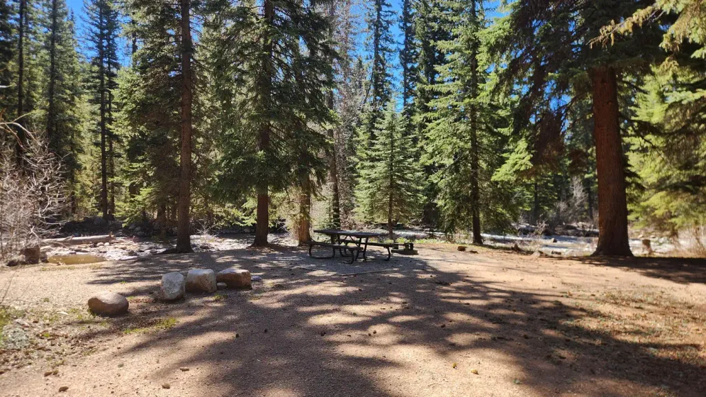
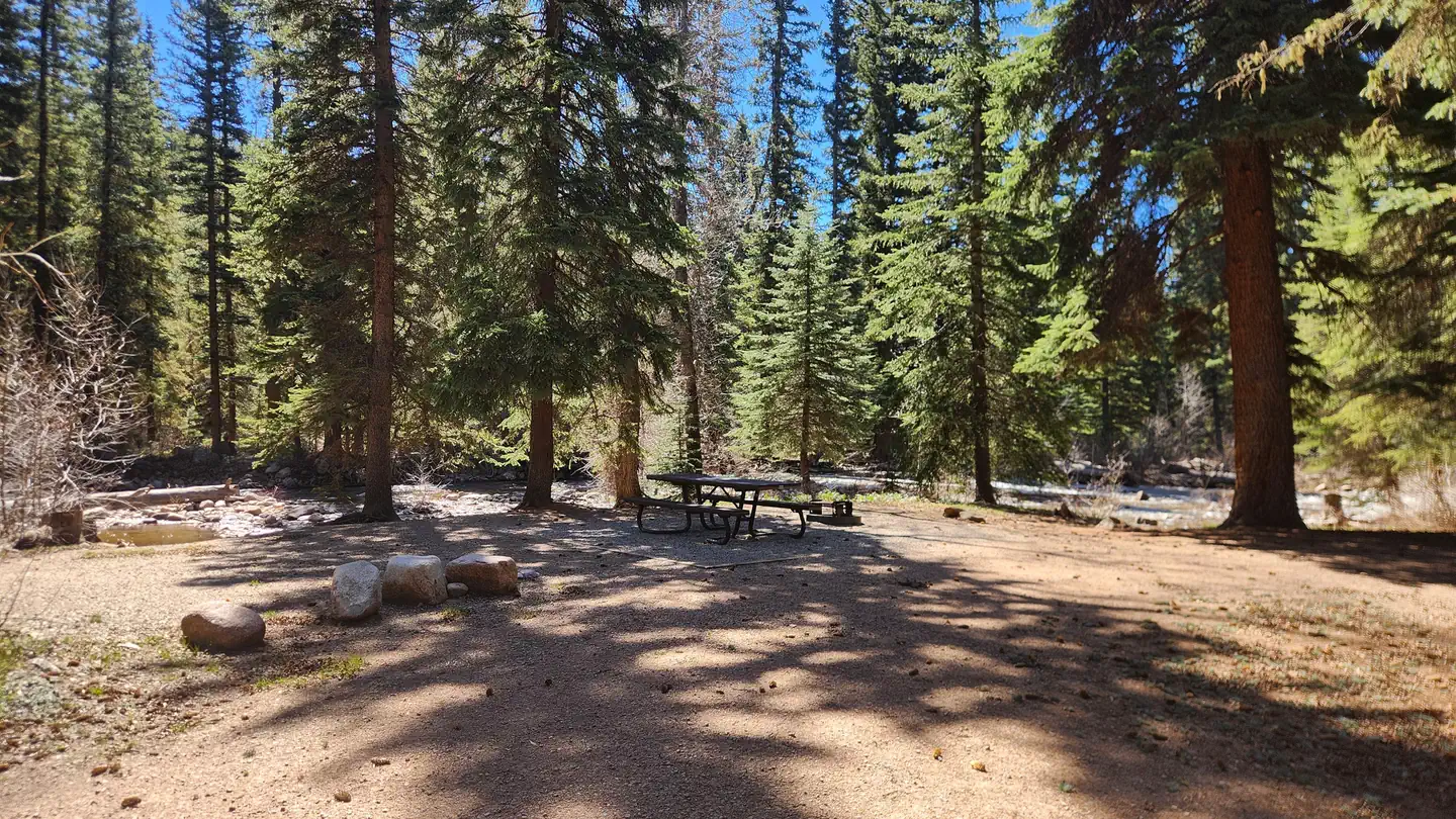
Burnt Timber is a 13.1-mile out-and-back trail located in Colorado near the Rio Grande National Forest's Conejos Peak Ranger District. The route gains 2,179 feet of elevation over its length, making it a moderately challenging hike suited for those with solid fitness levels. As an out-and-back trail, hikers follow the same path for both the approach and return journey. The elevation gain is distributed across the full distance, with the steeper sections likely concentrated on the approach to the turnaround point. The trail is managed by Rio Grande National Forest, ensuring maintenance and adherence to Forest Service regulations. The Conejos Peak Ranger District oversees trail conditions and access. This hike is ideal for a full-day adventure, with the total distance and elevation gain requiring 4-6 hours for most hikers depending on pace and fitness level. The forest setting provides typical high-elevation Colorado scenery, with the trail name suggesting evidence of past fire activity in the area.

Lost Lake
~1 min drive
1.0 mi · Easy

Youngs Canyon
~6 min drive
7.5 mi · Moderate

Lech
~14 min drive
1.1 mi · Easy

Waterdog Trot
~14 min drive
1.3 mi · Easy
Miners Trace
~14 min drive
3.8 mi · Easy
Hermosa View
~14 min drive
1.8 mi · Easy
Goulding Creek
~14 min drive
6.1 mi · Expert
Wagon
~14 min drive
2.6 mi · Easy

Shearer Creek
~14 min drive
15 mi · Expert
Aspen Loop
~14 min drive
2.4 mi · Easy