Loading trail…

Free — you'll pick up right here.
Watch this trail
Sign up to watch it — saving subscribes you to gate, closure and report changes.
Colorado
3.3 mi
Distance
215 ft
Gain
No agency boundary, access route or field report is mapped to it — so there is no verdict, and we won't guess. We'll tell you the moment this trail has something to say.
Nobody's filed a report here yet — be the first.
Why you'll love it
Button Rock Trail
AI-suggested draft · review before you go
No permit or access details on file for this trail — check with the local land manager before you go.
Button Rock Trail is a 1.6-mile out-and-back hike located near Colorado. The trail gains 215 feet in elevation, making it an accessible option for hikers of varying abilities. This short route is ideal for those seeking a quick outdoor experience without a significant physical commitment. The trail is situated within the lwn wilderness area and is managed by lwn. Its modest distance and moderate elevation gain make it suitable for families, casual hikers, or anyone looking for a brief excursion into the area's natural landscape. As an out-and-back trail, you'll follow the same route returning as you did going in, allowing you to turn back at any point if desired. The 1.6-mile total distance can typically be completed in 1-2 hours depending on pace and stops. This hike offers a straightforward outdoor experience in the Colorado region. Whether you're exploring the area or seeking a short day hike, Button Rock Trail provides an efficient way to spend time in nature with minimal time investment and manageable physical demands.

Bright
~13 min drive
3.5 mi · Easy

Hill Homestead
~14 min drive
1.2 mi · Easy

Irvin Homestead
~15 min drive
1.7 mi · Easy

Deer Ridge
~16 min drive
3.7 mi · Easy

Park Creek
~19 min drive
4.5 mi · Moderate
Baptiste
~22 min drive
1.5 mi · Easy

Waldrop (North)
~24 min drive
4.7 mi · Moderate

Cmc (South)
~24 min drive
4.9 mi · Moderate
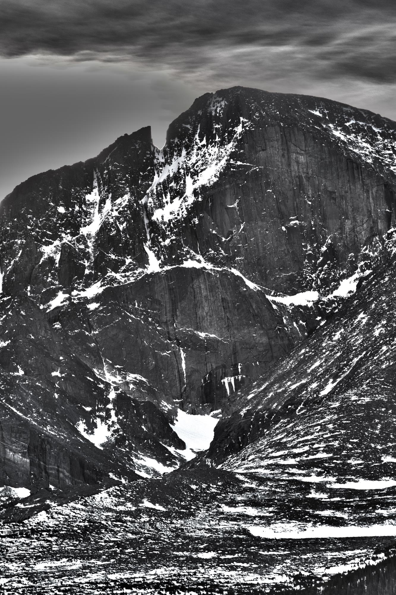
North Longs Peak Trail
~25 min drive
11 mi · Easy
Coffintop
~4 min drive
6.1 mi · Hard