Loading trail…

Free — you'll pick up right here.
Watch this trail
Sign up to watch it — saving subscribes you to gate, closure and report changes.
Colorado
0.4 mi
Distance
63 ft
Gain
We won't guess. Here is exactly what we do and don't know.
What we do know
Inside Grand Mesa, Uncompahgre and Gunnison National Forests
2 managing-area boundaries mapped — agency alerts for them feed this page automatically.
Boundary data
Access via County Road 12: Kebler Pass
Road status feeds from the state DOT 511 network.
State DOT 511 · 32 d ago
Nobody's filed a report here yet — be the first.
Why you'll love it
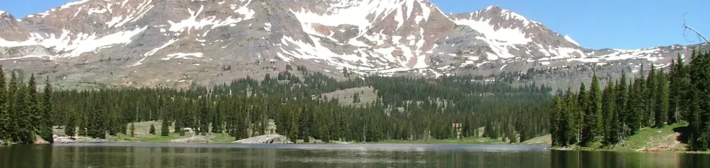
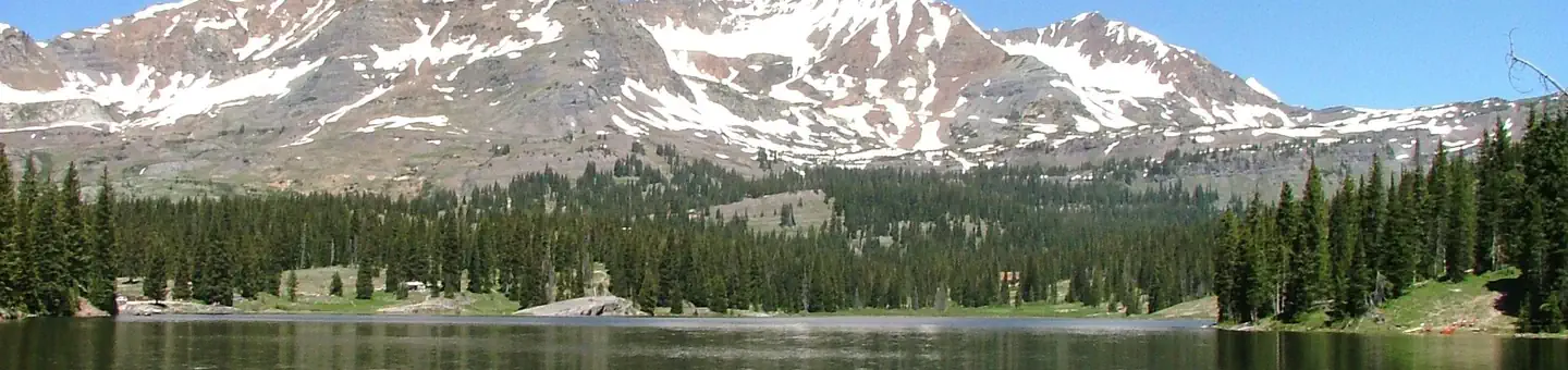
Copley Lake
AI-suggested draft · review before you go
Copley Lake is a short out-and-back trail located in Colorado near the Routt National Forest, managed by the Hahns Peak/Bears Ears Ranger District. This trail covers 0.4 miles with a modest elevation gain of 63 feet, making it an accessible option for hikers of varying abilities. The trail leads to Copley Lake, providing a quick outdoor excursion suitable for families or those seeking a brief walk in the forest. The minimal distance and elevation change mean this hike can be completed in a short timeframe, ideal for visitors with limited time or those looking for an easy stroll. Being situated in the Hahns Peak/Bears Ears area of the Routt National Forest, the trail offers access to the natural landscape characteristic of northern Colorado's mountainous terrain. The out-and-back route means hikers will retrace the same path, allowing them to turn back at their own pace. This trail is managed by the US Forest Service, ensuring maintained conditions and adherence to national forest regulations. It's a good option for a quick forest visit in the Colorado high country.

Ridge 70
~3 min drive
3.1 mi · Moderate

Lily Lake
~4 min drive
7.1 mi · Easy
Daisy Pass Blue Lake
~6 min drive
0.3 mi · Easy

Dyke Wilderness
~7 min drive
2.7 mi · Easy

Braun Bypass
~9 min drive
2.0 mi · Easy

Oh-Be-Joyful Pass
~9 min drive
8.2 mi · Expert
Little Pass Creek
~10 min drive
7.1 mi · Moderate

Upper Loop
~11 min drive
2.8 mi · Easy

Upper Upper Loop
~11 min drive
3.8 mi · Moderate

Whetstone Vista
~13 min drive
1.9 mi · Easy