Loading trail…

Free — you'll pick up right here.
Watch this trail
Sign up to watch it — saving subscribes you to gate, closure and report changes.
Colorado
1.2 mi
Distance
87 ft
Gain
We won't guess. Here is exactly what we do and don't know.
What we do know
Inside Grand Mesa, Uncompahgre and Gunnison National Forests
2 managing-area boundaries mapped — agency alerts for them feed this page automatically.
Boundary data
What's missing
No access route mapped
We don't yet know which road reaches this trailhead, so we can't tell you if it's gated.
Nobody's filed a report here yet — be the first.
Why you'll love it
Death Pass
AI-suggested draft · review before you go
Death Pass is a short out-and-back trail located in Colorado near the Routt National Forest's Hahns Peak/Bears Ears Ranger District. At 1.2 miles round trip with only 87 feet of elevation gain, this is an accessible hike suitable for most fitness levels. The trail offers a gentle ascent to the pass, making it ideal for a quick outing or for those looking to explore the area without committing to a longer backcountry trek. The Hahns Peak/Bears Ears Ranger District manages the trail and maintains it as part of the Routt National Forest system. This area is known for its northern Colorado mountain scenery and wildlife habitat. The modest elevation gain and short distance make Death Pass a good option for families or hikers seeking a less strenuous adventure while still experiencing the natural landscape of the Routt National Forest region.

Whetstone Vista
~8 min drive
1.9 mi · Easy

Upper Upper Loop
~8 min drive
3.8 mi · Moderate

Upper Loop
~8 min drive
2.8 mi · Easy

Crystal Peak
~11 min drive
3.2 mi · Moderate
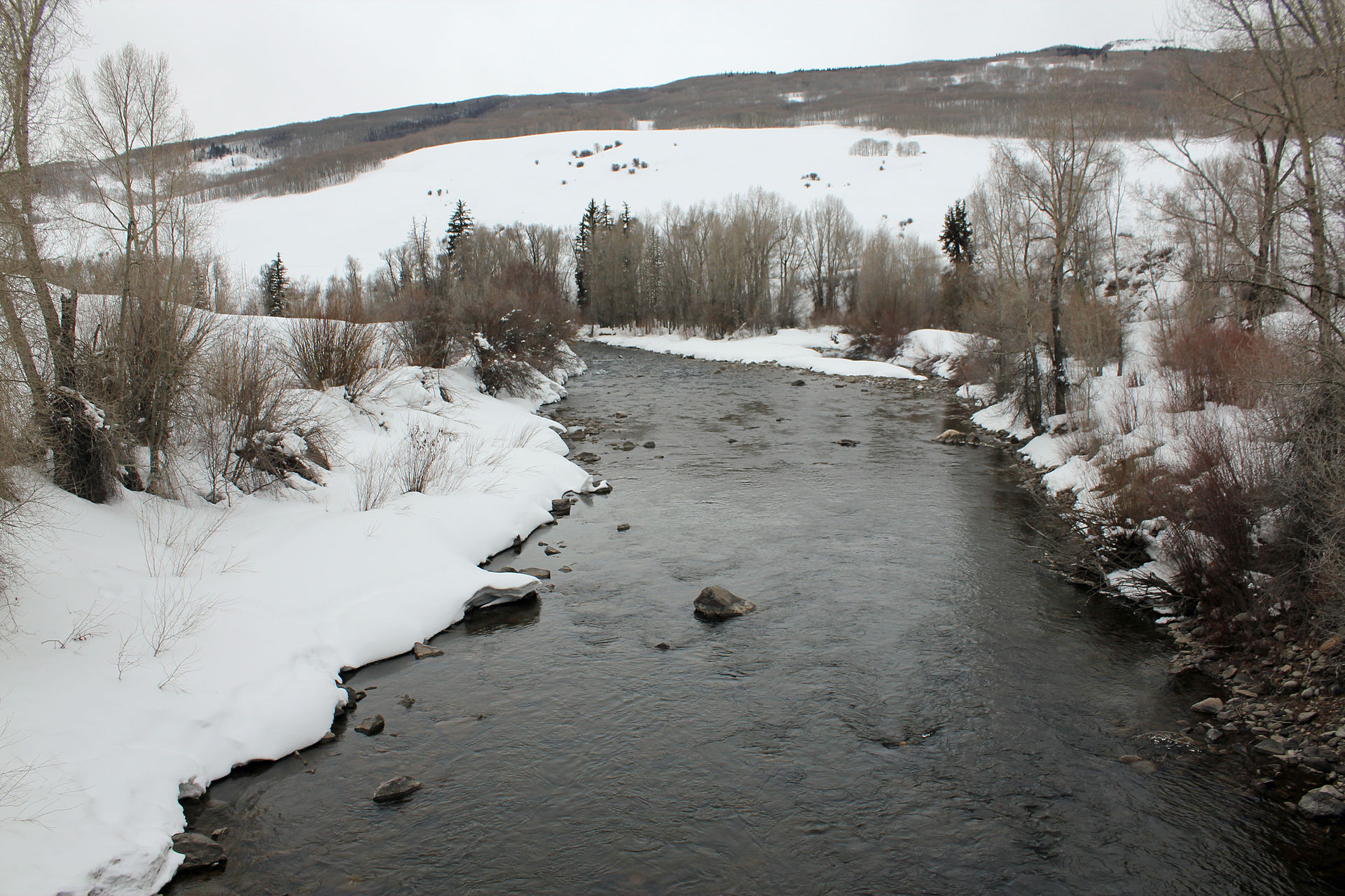
Eccher Gulch
~13 min drive
2.0 mi · Easy

Cooper Basin
~17 min drive
11 mi · Expert
River Run
~17 min drive
3.1 mi · Easy
Strand Bonus
~1 min drive
4.6 mi · Moderate
Deer Creek
~2 min drive
18 mi · Expert
Strawberry
~3 min drive
5.2 mi · Moderate