Loading trail…

Free — you'll pick up right here.
Watch this trail
Sign up to watch it — saving subscribes you to gate, closure and report changes.
Colorado
2.4 mi
Distance
0 ft
Gain
We won't guess. Here is exactly what we do and don't know.
What we do know
Inside Medicine Bow-Routt National Forest
2 managing-area boundaries mapped — agency alerts for them feed this page automatically.
Boundary data
What's missing
No access route mapped
We don't yet know which road reaches this trailhead, so we can't tell you if it's gated.
Nobody's filed a report here yet — be the first.
Why you'll love it
Duster
AI-suggested draft · review before you go
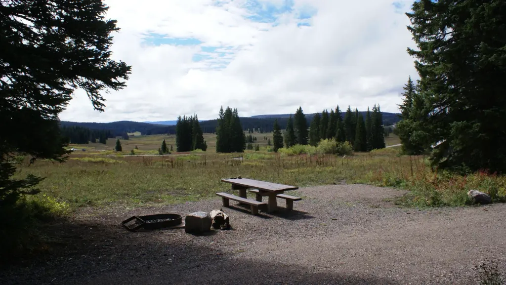
The Duster Trail is a 2.4-mile out-and-back route located in Colorado near the town of Colorado, within the Arapaho-Roosevelt National Forest's Boulder Ranger District. This trail offers a relatively flat hiking experience with no elevation gain, making it accessible for a wide range of skill levels and fitness abilities. The lack of elevation change means hikers can focus on enjoying the surroundings at a comfortable pace without the strain of climbing. As a moderate-length out-and-back trail, it covers 4.8 miles total when hiking to the turnaround point and back. The Arapaho-Roosevelt National Forest provides opportunities to experience Colorado's natural landscape, and the Boulder Ranger District manages this area to maintain trail quality and forest health. This trail is well-suited for those seeking a straightforward hike without significant elevation challenges, whether for a casual outing or as part of a broader exploration of the national forest's trail system.

Moonlight
~2 min drive
1.6 mi · Easy
Storm Peak Challenge
~2 min drive
4.4 mi · Hard

Mountain View
~2 min drive
12 mi · Moderate

Elkhead
~2 min drive
1.2 mi · Easy
Vista Nature Trail
~2 min drive
1.7 mi · Easy

Creekside
~3 min drive
2.3 mi · Easy
Pioneer
~3 min drive
7.0 mi · Moderate

Valley View
~4 min drive
6.1 mi · Hard
Zig Zag
~4 min drive
3.7 mi · Moderate

Fish Creek
~5 min drive
6.7 mi · Hard