Loading trail…

Free — you'll pick up right here.
Watch this trail
Sign up to watch it — saving subscribes you to gate, closure and report changes.
Colorado
14.5 mi
Distance
1,878 ft
Gain
We won't guess. Here is exactly what we do and don't know.
What we do know
Inside San Juan National Forest
2 managing-area boundaries mapped — agency alerts for them feed this page automatically.
Boundary data
What's missing
No access route mapped
We don't yet know which road reaches this trailhead, so we can't tell you if it's gated.
Nobody's filed a report here yet — be the first.
Why you'll love it
Fish Creek
AI-suggested draft · review before you go
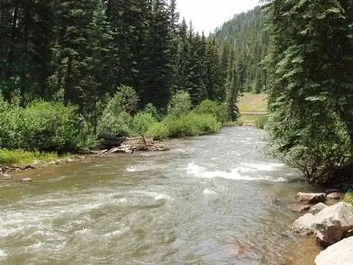
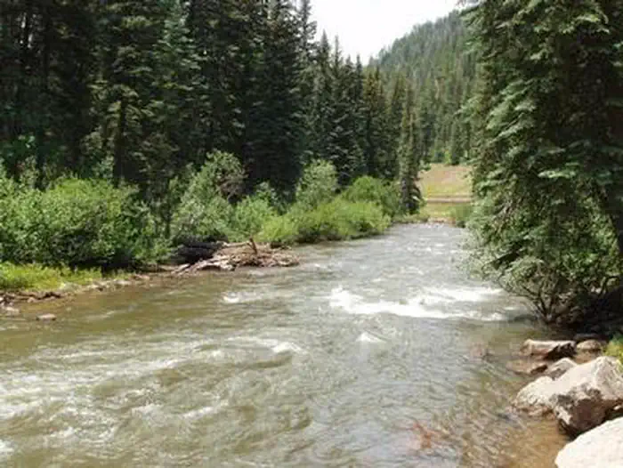
Fish Creek Trail is a 14.3-mile out-and-back route located in Colorado near Colorado within Rio Grande National Forest, managed by the Divide Ranger District. The trail features 1,878 feet of elevation gain, making it a moderate to challenging day hike for most fitness levels. This out-and-back format allows hikers to turn around at any point, making it accessible for those with varying endurance levels. The elevation gain is distributed across the route, providing opportunities to experience changing terrain and scenery typical of the Rio Grande National Forest landscape. The trail is situated in the Divide Ranger District area, which encompasses diverse high-elevation terrain in south-central Colorado. Hikers should plan accordingly for weather conditions, which can change rapidly at elevation. The out-and-back nature of the route means hikers will cover approximately 28.6 miles total if completing the full distance, though many visitors choose shorter out-and-back segments.

Goble
~8 min drive
3.1 mi · Moderate

Sockrider
~16 min drive
2.2 mi · Easy

Burnett Creek
~18 min drive
5.0 mi · Hard

Mcjunkin
~19 min drive
2.0 mi · Moderate

Little Taylor
~20 min drive
7.4 mi · Expert
Morrison
~22 min drive
5.6 mi · Hard
Little Bear Pack Trail
~23 min drive
3.6 mi · Moderate

Elk Creek
~23 min drive
4.9 mi · Moderate

Circle
~23 min drive
5.3 mi · Hard
Bear Creek
~23 min drive
13 mi · Expert