Loading trail…

Free — you'll pick up right here.
Watch this trail
Sign up to watch it — saving subscribes you to gate, closure and report changes.
Colorado
5.2 mi
Distance
340 ft
Gain
We won't guess. Here is exactly what we do and don't know.
What we do know
Inside Arapaho and Roosevelt National Forests
3 managing-area boundaries mapped — agency alerts for them feed this page automatically.
Boundary data
What's missing
No access route mapped
We don't yet know which road reaches this trailhead, so we can't tell you if it's gated.
Nobody's filed a report here yet — be the first.
Why you'll love it
Fox Creek
AI-suggested draft · review before you go
Fox Creek is a 2.6-mile loop trail located in Colorado near White River National Forest's Eagle-Holy Cross Ranger District. The route features 340 feet of elevation gain, making it a moderately easy hike suitable for a range of ability levels. The loop format allows hikers to experience varied terrain and scenery without retracing their steps. The trail is maintained by the White River National Forest Eagle-Holy Cross Ranger District, part of the US Forest Service. This trail offers a compact outdoor experience ideal for half-day excursions or those seeking a shorter alternative to longer backcountry routes in the region. The elevation gain is distributed throughout the loop, providing steady climbing with manageable grades. The White River National Forest encompasses over 2.3 million acres across central Colorado, known for its diverse ecosystems ranging from low-elevation valleys to high alpine peaks. The Eagle-Holy Cross Ranger District manages trails and recreation areas throughout the Eagle River watershed and surrounding terrain.

North Boundary
~2 min drive
4.9 mi · Hard

North Fork
~4 min drive
8.9 mi · Moderate
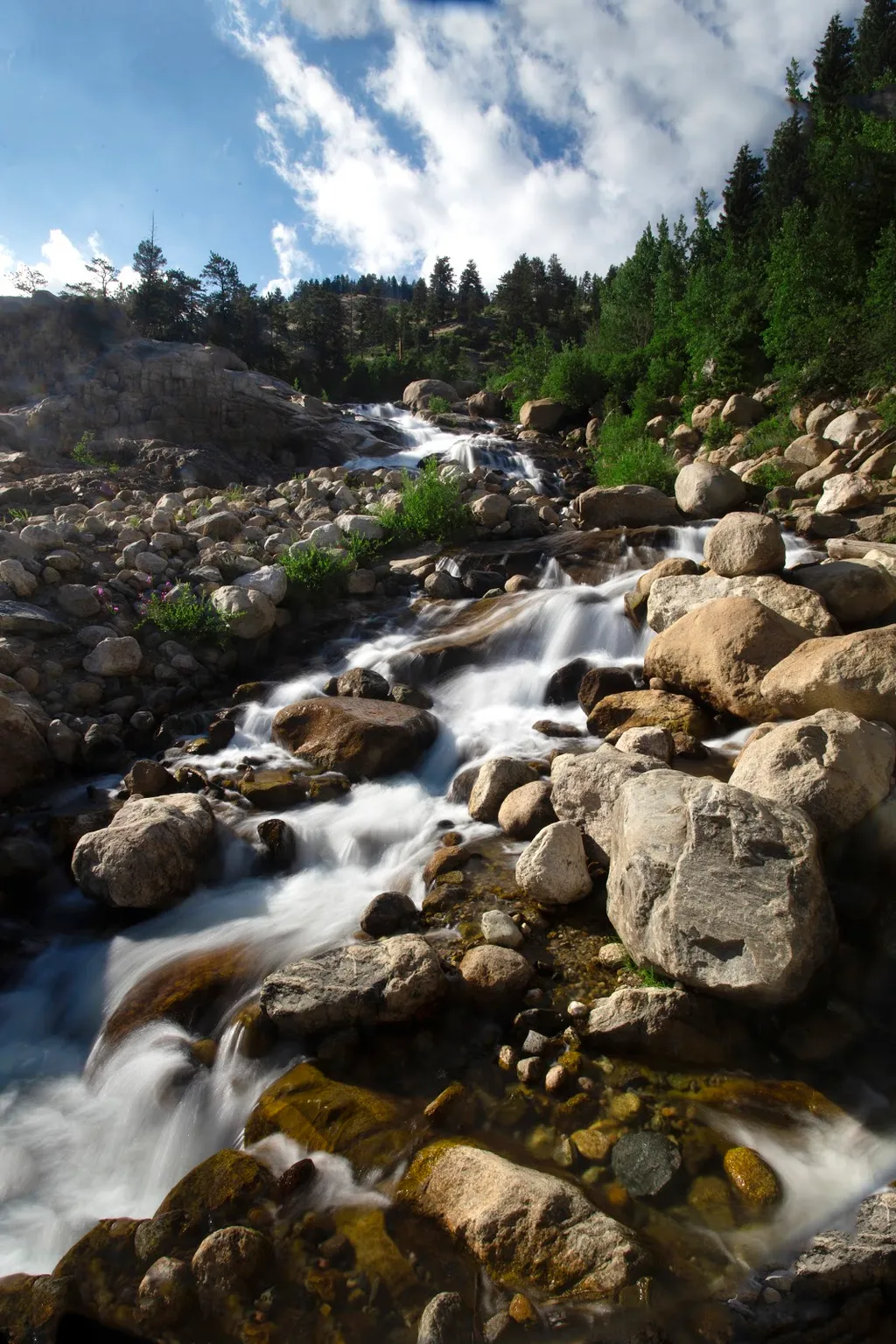
Alluvial Fan
~13 min drive
<p>Located off the road to Endovalley, the Alluvial Fan is a beautiful cascade of water flowing down through a boulder field.</p> <p>Reconstructed in 2020, the trail to the Alluvial Fan was designed to be fully accessible. From the west, this path meanders up to a 56-foot brid…
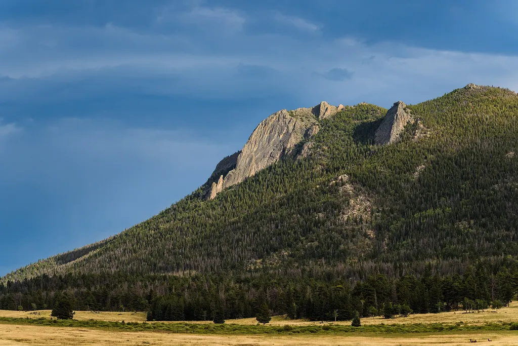
Horseshoe Park
~13 min drive
<p>Horseshoe Park is a low-land meadow with small lakes, great views of the Mummy Mountain Range, and top-notch wildlife viewing opportunities.</p> <p><strong>West Horseshoe Park Pullout:</strong> This pullout contains limited parking spaces that can be used to access the surr…
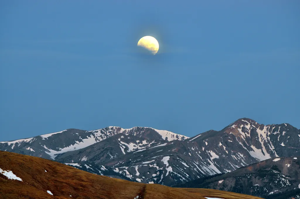
Stories of the Moon & Stars at Moraine Park Discovery Center
~14 min drive
<h3>Stories of the Moon & Stars</h3> <p>The moon and stars have inspired humans and their stories for thousands of years. Join us on the east side of Rocky Mountain National Park at the Moraine Park Discover Center Parking Area for an evening under the stars. This program begi…
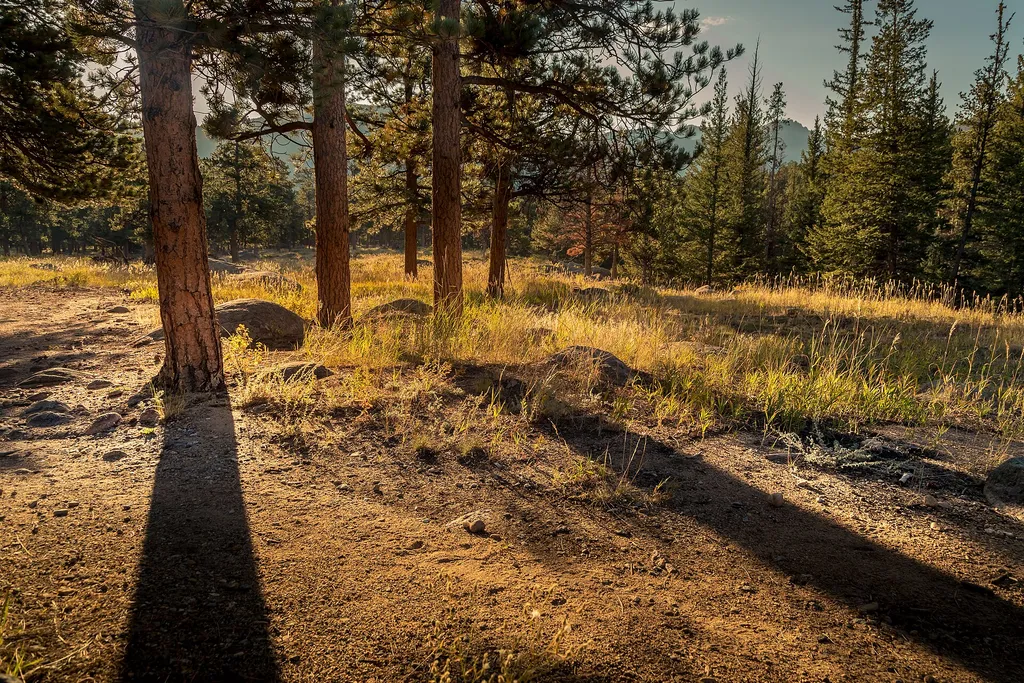
Tuxedo Park Picnic Area
~15 min drive
<p>Picnic by the river!</p> <p>Descend from the parking area to reach a quiet picnic area next to a shady stream. Feel free to sit and relax, have a good meal, or go fishing with the correct permits and knowledge of regulations. A short trail can be accessed from this location…
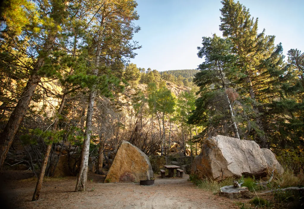
Endovalley Picnic Area
~15 min drive
<p>Stop at the Endovalley picnic area to enjoy a meal or quiet solitude.</p> <p>There are plenty of picnic tables in this loop that was once a campground. A river flows through the area so be on the lookout for birds, moose, and small critters.</p> <p><strong>Tables: </strong>…
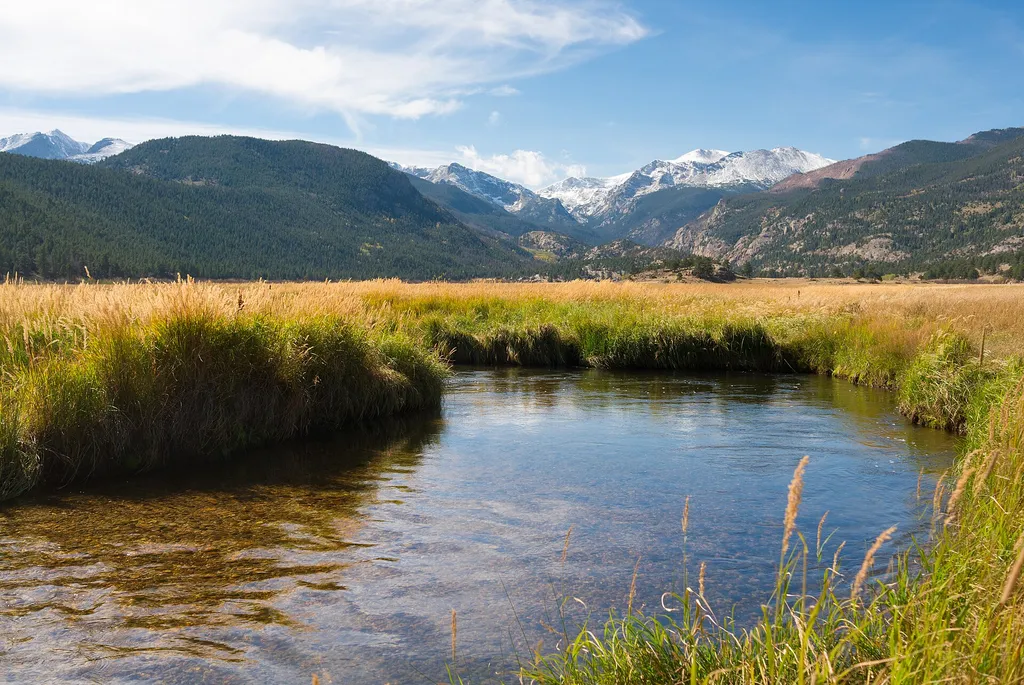
Hollowell Park
~16 min drive
<p>A relaxing destination with many picnic tables and excellent views of Mill Creek Basin below Longs Peak.</p> <p>Enjoy a short easy trail that leaves from the parking lot. Pit toilets available but no trash cans. Pack out what you bring in.</p> <p><strong>Tables: </strong>10…
West Creek
~3 min drive
5.2 mi · Moderate
Crosier Mountain H-G
~5 min drive
1.2 mi · Easy