Loading trail…

Free — you'll pick up right here.
Watch this trail
Sign up to watch it — saving subscribes you to gate, closure and report changes.
Colorado
4.0 mi
Distance
1,285 ft
Gain
We won't guess. Here is exactly what we do and don't know.
What we do know
Inside White River National Forest
2 managing-area boundaries mapped — agency alerts for them feed this page automatically.
Boundary data
What's missing
No access route mapped
We don't yet know which road reaches this trailhead, so we can't tell you if it's gated.
Nobody's filed a report here yet — be the first.
Why you'll love it
French Gulch
AI-suggested draft · review before you go
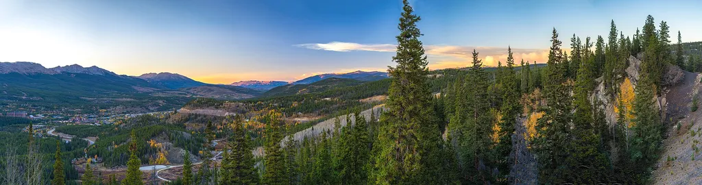
French Gulch is a 4.0-mile out-and-back trail located in Colorado that gains 1,285 feet of elevation. The route follows the gulch through varied terrain, offering steady climbing throughout the hike. With nearly 1,300 feet of elevation gain compressed into 2 miles to the turnaround point, hikers should expect a moderately strenuous ascent. The trail provides typical Colorado mountain scenery with exposure to the natural gulch landscape. The out-and-back format allows hikers to set their own turnaround point or complete the full distance to the official endpoint. This hike suits intermediate hikers with moderate fitness levels who are comfortable with sustained elevation gain. The relatively short distance combined with significant vertical makes it an efficient option for a half-day adventure. Summer and early fall are typically the best seasons for hiking in this Colorado area.

Black Gulch Road
~1 min drive
4.4 mi · Moderate
Little French Flume
~2 min drive
5.6 mi · Moderate
Yellowbrick
~4 min drive
1.0 mi · Easy
Mountain Pride
~5 min drive
2.6 mi · Easy

Broken Wheel
~5 min drive
1.0 mi · Easy

Valdero
~5 min drive
1.6 mi · Easy

Prospect
~7 min drive
3.3 mi · Moderate

North Swan
~7 min drive
3.8 mi · Moderate

Galena Ditch
~8 min drive
4.6 mi · Easy

Pennsylvania Creek
~8 min drive
2.0 mi · Easy