Loading trail…

Free — you'll pick up right here.
Watch this trail
Sign up to watch it — saving subscribes you to gate, closure and report changes.
Colorado
17.9 mi
Distance
615 ft
Gain
We won't guess. Here is exactly what we do and don't know.
What we do know
Inside Grand Mesa, Uncompahgre and Gunnison National Forests
2 managing-area boundaries mapped — agency alerts for them feed this page automatically.
Boundary data
What's missing
No access route mapped
We don't yet know which road reaches this trailhead, so we can't tell you if it's gated.
Nobody's filed a report here yet — be the first.
Why you'll love it
Horseshoe Basin
AI-suggested draft · review before you go
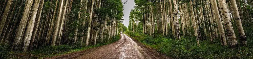
Horseshoe Basin is an 18-mile out-and-back trail located in Colorado near Routt National Forest's Yampa Ranger District. The route features modest elevation gain of 615 feet, making it accessible for hikers seeking a longer distance trek without extreme elevation challenges. This trail traverses Routt National Forest land and offers the opportunity to experience the landscapes managed by the Yampa Ranger District. The out-and-back format allows hikers to turn back at any point, making the total distance flexible depending on individual fitness levels and time constraints. The combination of distance and gentle elevation gain makes Horseshoe Basin suitable for day hikes or experienced backpackers. Hikers should plan accordingly for the full 18-mile journey, bringing adequate water and supplies. The trail is managed by the US Forest Service through the Yampa Ranger District, which maintains trail conditions and manages access. Contact the Yampa Ranger District for current trail conditions, weather considerations, and any seasonal closures before planning your visit.

Coal Bank
~9 min drive
3.9 mi · Moderate
Old Transfer
~10 min drive
14 mi · Hard

Tabeguache (25 Mesa)
~15 min drive
6.5 mi · Easy

South Bear Pen Gulch
~26 min drive
5.5 mi · Moderate

Atkinson
~36 min drive
4.0 mi · Easy
Atkinson Bench
~36 min drive
8.1 mi · Moderate
Ben Lowe
~0 min drive
5.6 mi · Easy
Traver Mesa
~2 min drive
7.3 mi · Hard
Roubideau Area
~3 min drive
1.0 mi · Easy
East Basin
~4 min drive
5.2 mi · Moderate