Loading trail…

Free — you'll pick up right here.
Watch this trail
Sign up to watch it — saving subscribes you to gate, closure and report changes.
Colorado
13.7 mi
Distance
4,856 ft
Gain
We won't guess. Here is exactly what we do and don't know.
What we do know
Inside Rocky Mountain National Park
National Park unit boundary is mapped — agency alerts for it feed this page automatically.
Boundary data
What's missing
No access route mapped
We don't yet know which road reaches this trailhead, so we can't tell you if it's gated.
Nobody's filed a report here yet — be the first.
Why you'll love it
Longs Peak Trail
AI-suggested draft · review before you go
No permit or access details on file for this trail — check with the local land manager before you go.
Longs Peak Trail is a challenging out-and-back hike located in Colorado, gaining 4,856 feet of elevation over 6.8 miles. This route is a popular choice for hikers seeking a strenuous alpine experience. The trail presents significant elevation gain that demands strong cardiovascular fitness and preparation. The steep terrain and high elevation gain make this hike suitable for experienced hikers in good physical condition. Weather conditions can change rapidly at higher elevations, and hikers should be prepared for sudden shifts. The exposed sections near the summit require careful footing and attention to trail conditions. Starting early in the day is essential to ensure adequate daylight for the round-trip journey. Proper acclimatization to altitude is recommended given the elevation profile. Water sources should be identified and packed accordingly, as they may be limited along the route. The out-and-back format allows hikers to turn around at any point if conditions become unsafe or energy levels decline. This trail delivers a rewarding alpine experience for those prepared to tackle its demanding elevation gain and distance. Hikers should check current trail conditions and weather forecasts before heading out.
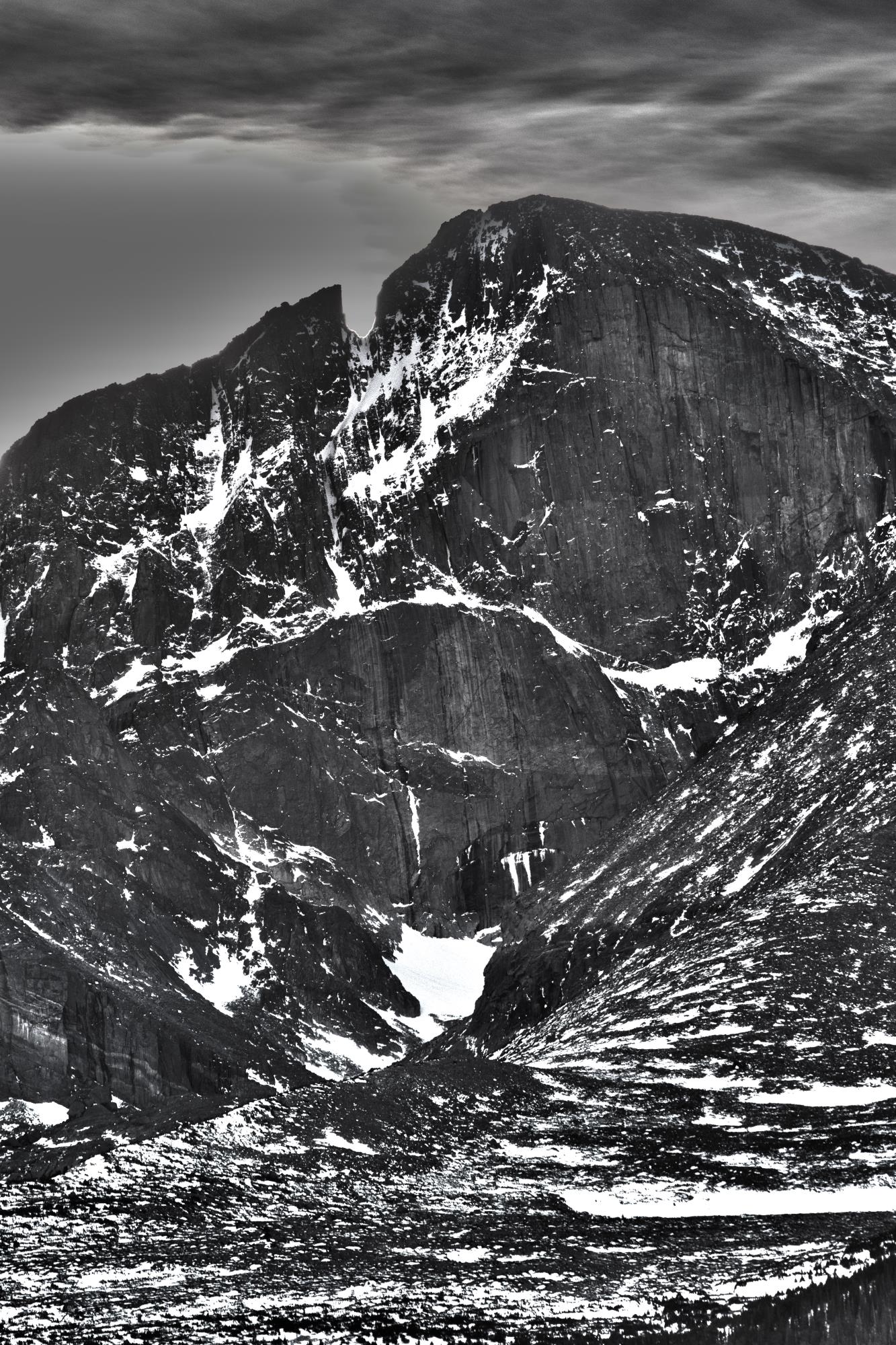
North Longs Peak Trail
~4 min drive
11 mi · Easy

Deer Ridge
~7 min drive
3.7 mi · Easy
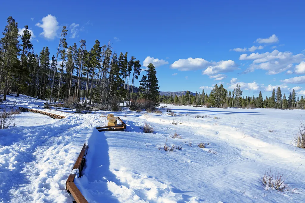
Sprague Lake
~7 min drive
Located on the east side of Rocky Mountain National Park along Bear Lake Road, Sprague Lake is one of the most popular destinations inside Rocky Mountain National Park. There is a 0.7-mile loop trail around the lake. Sprague Lake is open year-round and is a great place for wil…
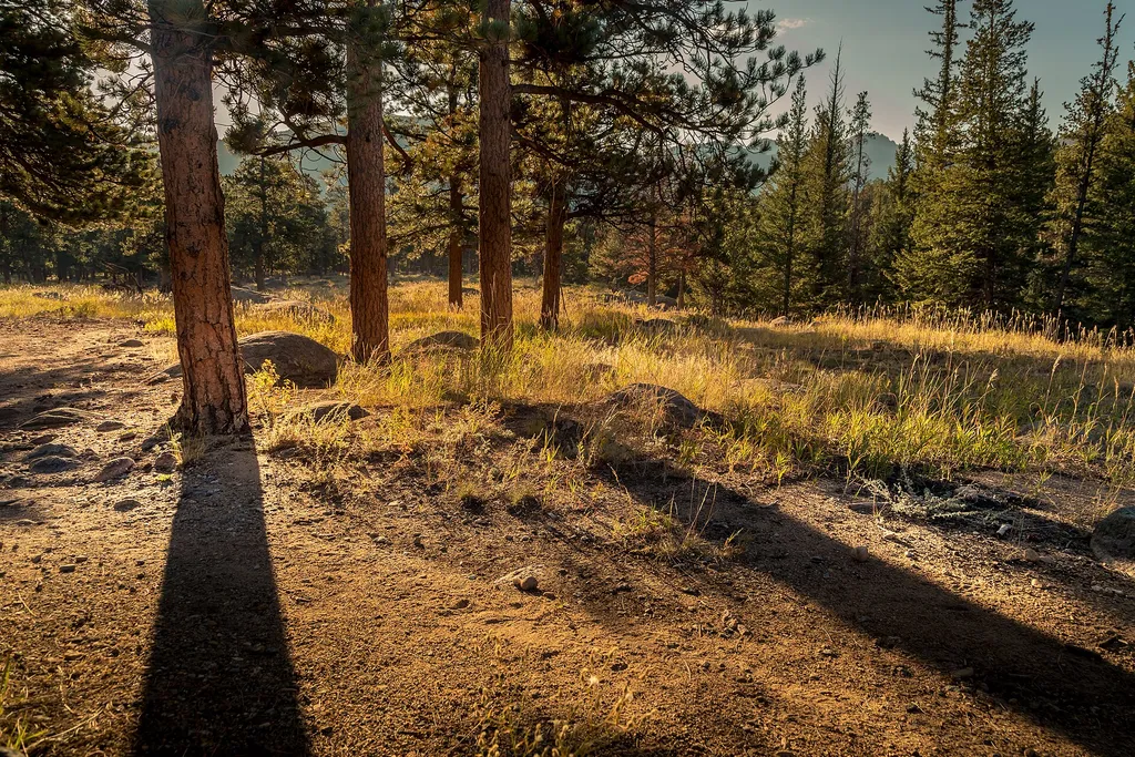
Tuxedo Park Picnic Area
~9 min drive
<p>Picnic by the river!</p> <p>Descend from the parking area to reach a quiet picnic area next to a shady stream. Feel free to sit and relax, have a good meal, or go fishing with the correct permits and knowledge of regulations. A short trail can be accessed from this location…
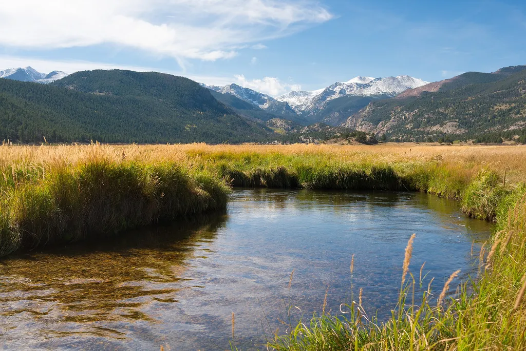
Hollowell Park
~9 min drive
<p>A relaxing destination with many picnic tables and excellent views of Mill Creek Basin below Longs Peak.</p> <p>Enjoy a short easy trail that leaves from the parking lot. Pit toilets available but no trash cans. Pack out what you bring in.</p> <p><strong>Tables: </strong>10…
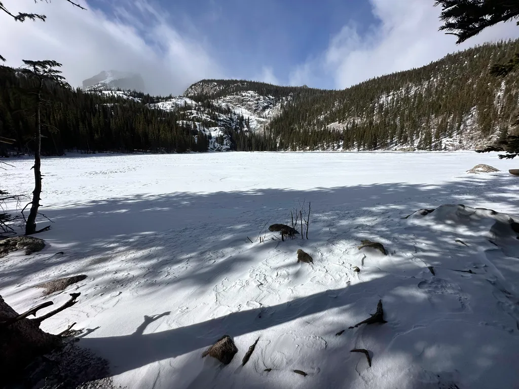
Bear Lake
~9 min drive
<p>Bear Lake Road ends 9.2 miles from the junction with Trail Ridge Road at the Parking Area for Bear Lake. From the parking area, take a short walk on a marked path to reach Bear Lake itself. Bear Lake offers spectacular scenic views of Bear Lake, Hallett Peak and the surroun…

Bear Lake Trail
~9 min drive
0.7 mi · Easy

Hill Homestead
~10 min drive
1.2 mi · Easy

Fern Lake Trail
~10 min drive
15 mi · Moderate
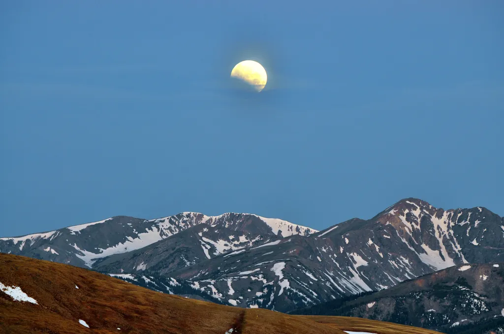
Stories of the Moon & Stars at Moraine Park Discovery Center
~10 min drive
<h3>Stories of the Moon & Stars</h3> <p>The moon and stars have inspired humans and their stories for thousands of years. Join us on the east side of Rocky Mountain National Park at the Moraine Park Discover Center Parking Area for an evening under the stars. This program begi…