Loading trail…

Free — you'll pick up right here.
Watch this trail
Sign up to watch it — saving subscribes you to gate, closure and report changes.
Colorado
8.2 mi
Distance
5 ft
Gain
We won't guess. Here is exactly what we do and don't know.
What we do know
Inside White River National Forest
2 managing-area boundaries mapped — agency alerts for them feed this page automatically.
Boundary data
What's missing
No access route mapped
We don't yet know which road reaches this trailhead, so we can't tell you if it's gated.
Nobody's filed a report here yet — be the first.
Why you'll love it
Lost Lake
AI-suggested draft · review before you go
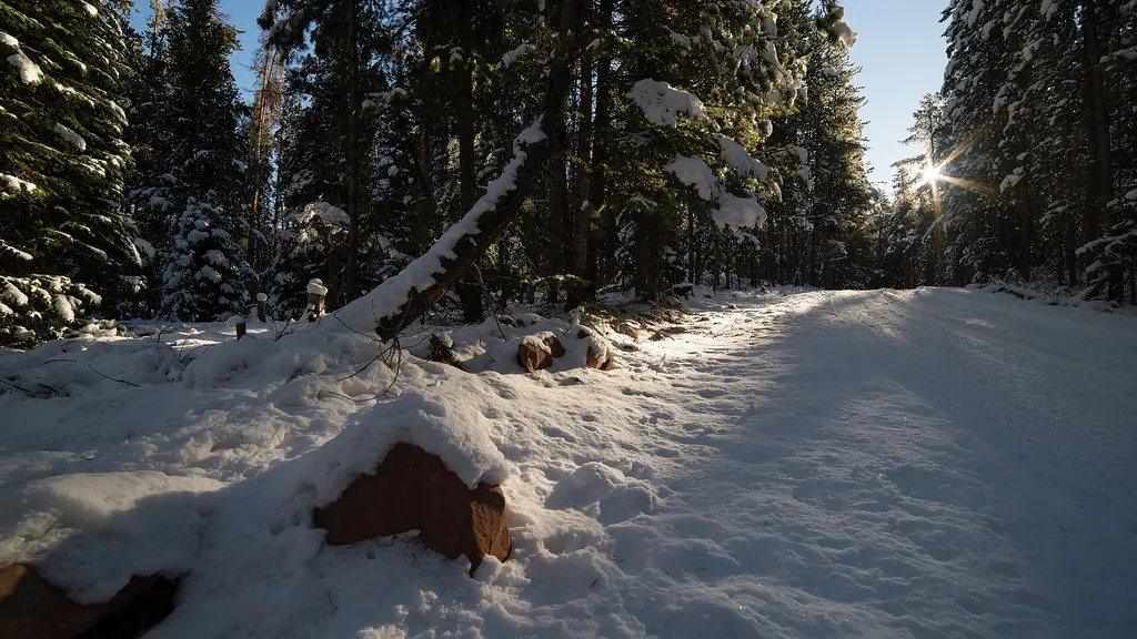
Lost Lake is an 8.2-mile out-and-back trail located in Colorado near the Salida Ranger District of Pike-San Isabel National Forest. The route features minimal elevation gain of just 5 feet, making it an accessible option for hikers of varying fitness levels seeking a relatively flat walk. The trail is maintained by Pike-San Isabel National Forest's Salida Ranger District, ensuring regular upkeep and trail management. As an out-and-back route, hikers will follow the same path returning to the trailhead after reaching Lost Lake. This trail offers an opportunity to explore the natural landscape within Pike-San Isabel National Forest, one of Colorado's expansive protected areas. The gentle terrain and modest distance make it suitable for a half-day hike, with plenty of time for exploring the lake area and enjoying the surroundings. Visitors should check with the Salida Ranger District for current trail conditions and any seasonal closures before planning their visit.

Antones
~5 min drive
5.4 mi · Hard

Sneve Gulch
~7 min drive
4.3 mi · Easy
Mount Thomas
~10 min drive
4.8 mi · Easy

Ruedi Overlook
~12 min drive
13 mi · Expert

Miller
~15 min drive
2.4 mi · Easy

Gold Dust
~16 min drive
12 mi · Hard

Montgomery Flats Tie
~18 min drive
5.0 mi · Moderate
Red Creek
~5 min drive
15 mi · Hard
Mckenzie Gulch
~5 min drive
5.0 mi · Easy
Muckey Lake
~6 min drive
2.2 mi · Easy