Loading trail…

Free — you'll pick up right here.
Watch this trail
Sign up to watch it — saving subscribes you to gate, closure and report changes.
Colorado
2.7 mi
Distance
15 ft
Gain
We won't guess. Here is exactly what we do and don't know.
What we do know
Inside White River National Forest
2 managing-area boundaries mapped — agency alerts for them feed this page automatically.
Boundary data
Access via CO 9: Hoosier Pass
Road status feeds from the state DOT 511 network.
State DOT 511 · 32 d ago
Nobody's filed a report here yet — be the first.
Why you'll love it
Lower Mc Cullough Gulch Road
AI-suggested draft · review before you go
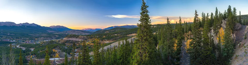
Lower McCullough Gulch Road is a 2.7-mile out-and-back trail located in Colorado near Pike-San Isabel National Forest's South Park Ranger District. This route features minimal elevation gain of just 15 feet, making it accessible for hikers of varying fitness levels. The trail follows the Lower McCullough Gulch Road through the South Park area, offering a gentle walking experience suitable for families and those seeking a shorter outing. The maintained road surface and flat terrain make this an ideal choice for casual hiking or as a warm-up route before tackling more challenging trails in the surrounding national forest. The Pike-San Isabel National Forest provides a scenic backdrop of Colorado's natural landscape, with the South Park Ranger District managing this accessible route. The out-and-back format allows hikers to turn around at any point that suits their preference, with the full distance covering 2.7 miles round trip.

Blue River (South)
~3 min drive
2.8 mi · Easy

Crystal Lake
~4 min drive
5.4 mi · Hard

Fredonia to Pennsylvania
~5 min drive
2.3 mi · Easy

Bemrose
~5 min drive
6.5 mi · Easy

Pennsylvania Creek
~7 min drive
2.0 mi · Easy

Wheeler Nat. Rec. Trail - Colorado
~8 min drive
55 mi · Expert
Broken Wheel
~8 min drive
1.0 mi · Easy

Valdero
~8 min drive
1.6 mi · Easy
Mountain Pride
~8 min drive
2.6 mi · Easy

Mt Lincoln Trail
~9 min drive
2.4 mi · Easy