Loading trail…

Free — you'll pick up right here.
Watch this trail
Sign up to watch it — saving subscribes you to gate, closure and report changes.
Colorado
6.7 mi
Distance
572 ft
Gain
We won't guess. Here is exactly what we do and don't know.
What we do know
Inside San Juan National Forest
2 managing-area boundaries mapped — agency alerts for them feed this page automatically.
Boundary data
What's missing
No access route mapped
We don't yet know which road reaches this trailhead, so we can't tell you if it's gated.
Nobody's filed a report here yet — be the first.
Why you'll love it
Millset (Snow)
AI-suggested draft · review before you go
Millset Snow Trail is a 6.7-mile out-and-back hike located in Colorado near the town of Colorado, within Rio Grande National Forest's Divide Ranger District. The trail gains 572 feet of elevation throughout the route, making it a moderate day hike suitable for hikers with basic fitness levels. This trail is managed by the Rio Grande National Forest Divide Ranger District, which maintains the path and provides updates on trail conditions. The out-and-back format means hikers will retrace their steps on the return journey, covering approximately 13.4 miles total if completing the full route. The trail's name suggests seasonal considerations, particularly snow coverage during winter months. Hikers planning to visit should check current conditions with the Divide Ranger District, as snow presence may affect accessibility and difficulty ratings depending on the season. The relatively modest elevation gain combined with the moderate distance makes this a reasonable option for hikers seeking a half-day outing in the Rio Grande National Forest.

Dolph Kuss Loop (Snow)
~2 min drive
3.1 mi · Easy
Muleshoe Loop
~4 min drive
2.0 mi · Easy

Aspen Loop Trail
~10 min drive
94 mi · Expert

Three Heroes
~14 min drive
1.5 mi · Easy
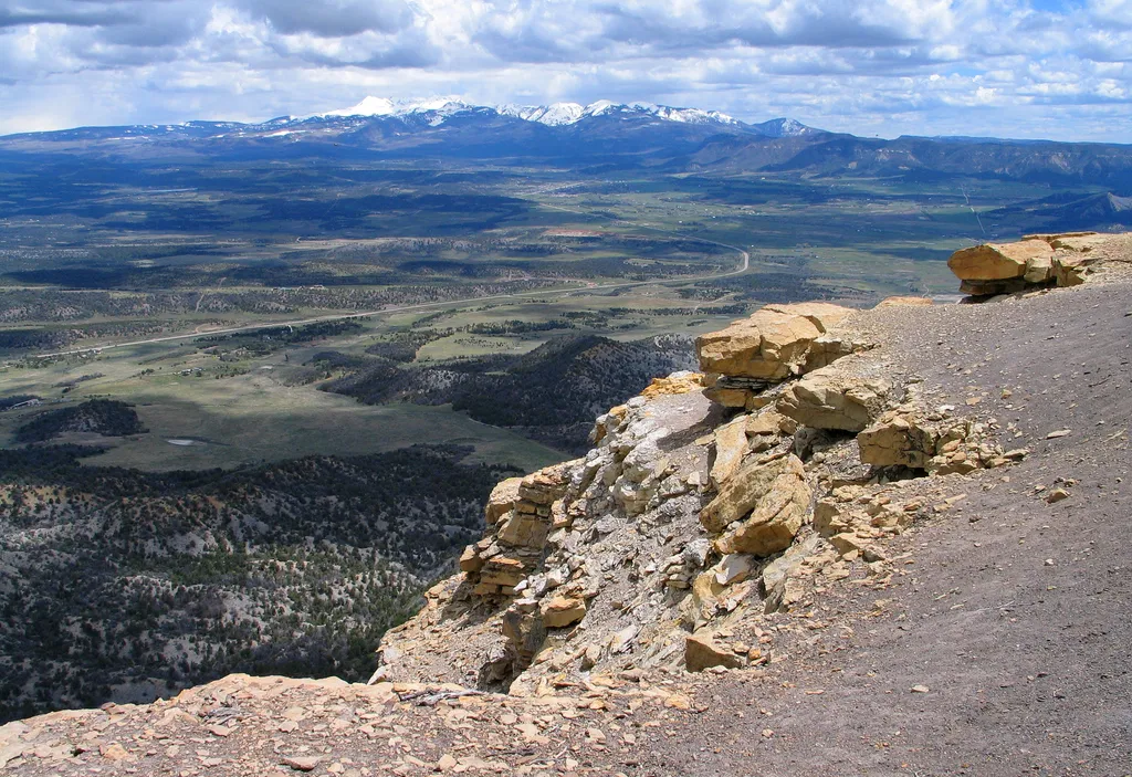
Point Lookout Trail
~18 min drive
<p>The Point Lookout Trail climbs up the iconic Point Lookout, the geological formation that towers above the park entrance. The trail offers views of the San Juan and La Plata Mountains, as well as Mancos and Montezuma Valleys.</p> <h4>Trail Description</h4> <p>The 2.2-mile (…
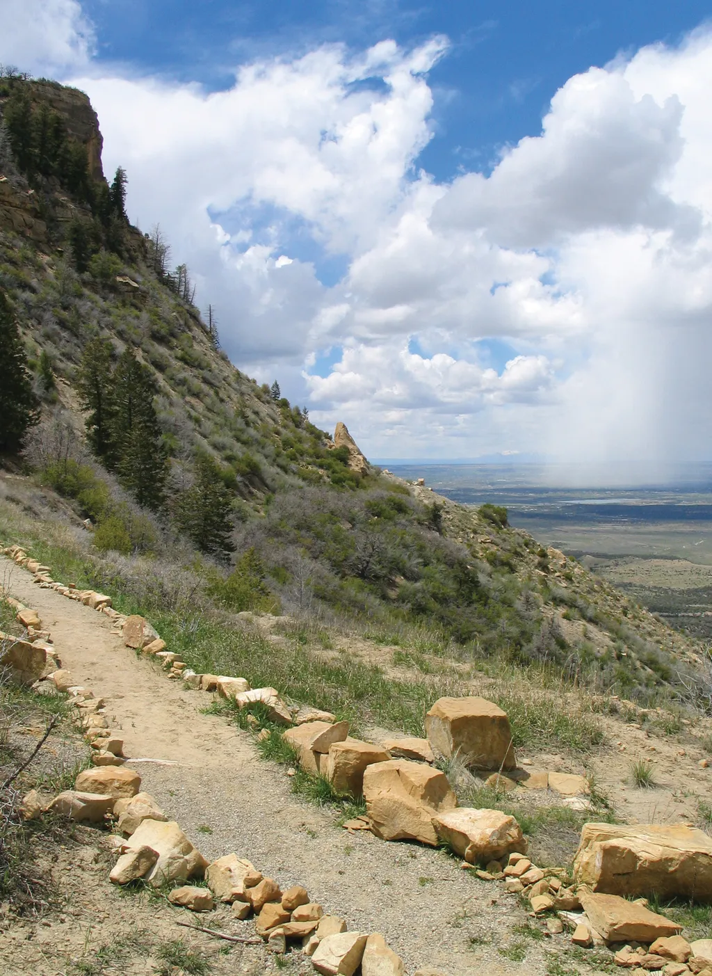
Knife Edge Trail
~19 min drive
<p>Named after the historic Knife Edge Road which was known for it's scenic value, this trail follows the old roadway and leads to a viewpoint that affords excellent views across Montezuma Valley.</p> <p>A traveler in 1892 once described a trail on this ridge as the Crinkly Ed…
Prater Ridge Trail
~19 min drive
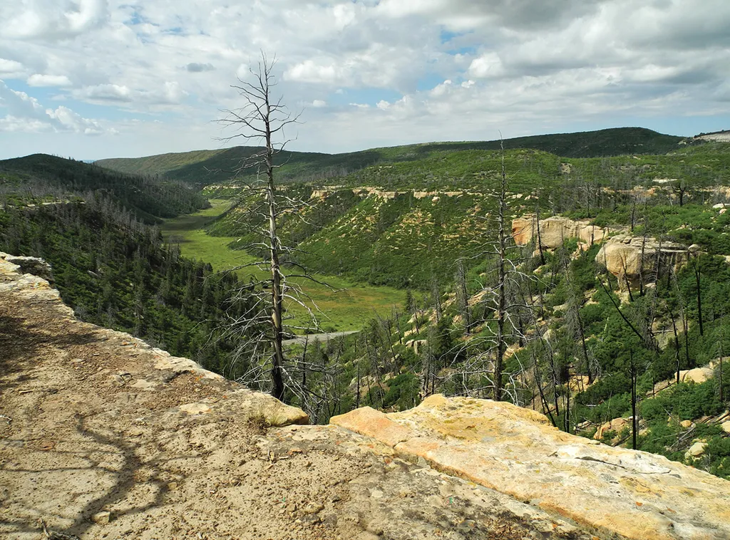
<p>The trail traverses Prater Ridge which divides Prater and Morefield Canyons. The South Loop offers views into Prater Canyon, named for an early pioneer family. The North Loop ascends for views into Montezuma Valley and the beautiful San Juan Mountains.</p> <h4>Trail Descrip…

Bear Creek
~20 min drive
13 mi · Expert
Little Bear Pack Trail
~20 min drive
3.6 mi · Moderate
Morrison
~20 min drive
5.6 mi · Hard