Loading trail…

Free — you'll pick up right here.
Watch this trail
Sign up to watch it — saving subscribes you to gate, closure and report changes.
Colorado
2.0 mi
Distance
285 ft
Gain
We won't guess. Here is exactly what we do and don't know.
What we do know
Inside San Juan National Forest
2 managing-area boundaries mapped — agency alerts for them feed this page automatically.
Boundary data
What's missing
No access route mapped
We don't yet know which road reaches this trailhead, so we can't tell you if it's gated.
Nobody's filed a report here yet — be the first.
Why you'll love it
Quakie Spring
AI-suggested draft · review before you go
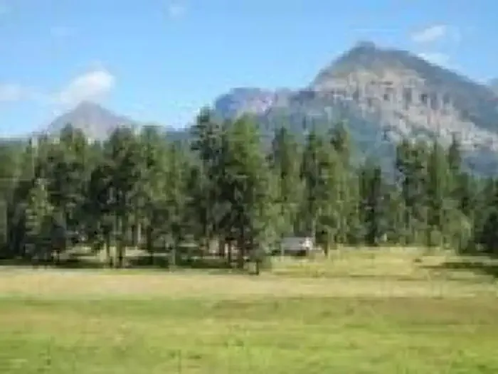
Quakie Spring is a 1.0-mile loop trail located in Colorado near Colorado, managed by the Rio Grande National Forest's Saguache Ranger District. The trail features 285 feet of elevation gain, making it an accessible option for hikers of varying skill levels. This loop route provides an efficient way to explore the area without retracing your steps, allowing hikers to experience diverse terrain and scenery throughout the outing. The moderate elevation gain is distributed across the route, offering a steady but manageable climb for most visitors. The trail falls under Rio Grande National Forest management, which encompasses over 1.8 million acres across south-central Colorado. Visitors should check with the Saguache Ranger District for current trail conditions, any seasonal closures, or specific regulations before heading out. The trail's relatively short distance and elevation profile make it suitable for a half-day adventure or as part of a larger outdoor itinerary in the region.

Brockover
~4 min drive
3.0 mi · Easy
Aspen Run
~5 min drive
4.6 mi · Easy
Gopher
~6 min drive
13 mi · Moderate
Lower Rim
~6 min drive
4.8 mi · Easy
Creek
~6 min drive
1.0 mi · Easy
Round Park
~2 min drive
6.5 mi · Easy
Park Ave
~2 min drive
2.8 mi · Easy
Monument Park Winter
~2 min drive
58 mi · Expert
Hotz Spring
~2 min drive
4.6 mi · Moderate
Devil Creek
~3 min drive
10 mi · Moderate