Loading trail…

Free — you'll pick up right here.
Watch this trail
Sign up to watch it — saving subscribes you to gate, closure and report changes.
Colorado
6.2 mi
Distance
614 ft
Gain
No agency boundary, access route or field report is mapped to it — so there is no verdict, and we won't guess. We'll tell you the moment this trail has something to say.
Nobody's filed a report here yet — be the first.
Why you'll love it
Rock Creek
AI-suggested draft · review before you go
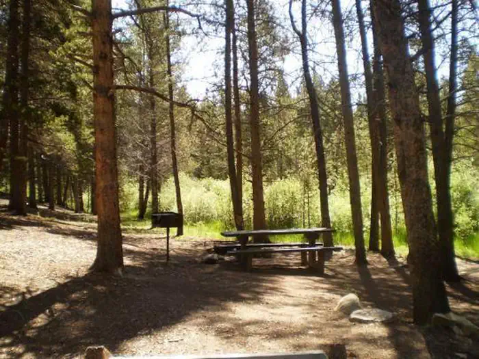
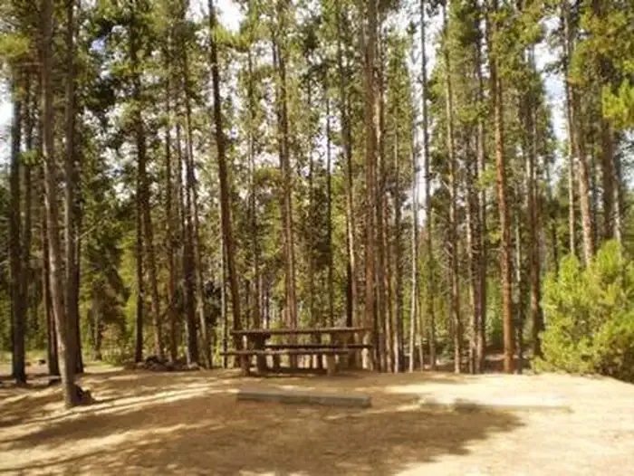
Rock Creek is a 6.2-mile out-and-back trail located in Colorado near the San Juan National Forest's Columbine Ranger District (East). The route gains 614 feet of elevation, making it a moderate hike suitable for a range of fitness levels. This trail is managed by the San Juan National Forest and offers access to the forest's eastern area. The out-and-back format allows hikers to choose their own turnaround point, making it flexible for different experience levels and available time. The relatively modest elevation gain is distributed across the 6.2-mile distance, creating a gradual climb. Hikers can expect forest scenery typical of the San Juan National Forest region, which encompasses diverse terrain from montane forests to alpine areas. The trail is well-maintained by the Forest Service and provides an accessible option for those seeking a moderate-length hike in southwestern Colorado. Whether hiking the full distance or turning back earlier, Rock Creek offers a straightforward route through national forest land.

Swamp Lake
~2 min drive
3.8 mi · Moderate

South Willow Creek
~4 min drive
2.5 mi · Moderate

Bodfish
~6 min drive
2.8 mi · Easy
Fallen Tree
~6 min drive
2.3 mi · Easy

Rift
~7 min drive
1.9 mi · Easy

Twin Lakes
~16 min drive
1.7 mi · Easy

Colorado Trail
~18 min drive
357 mi · Expert

Echo Canyon
~18 min drive
4.9 mi · Hard
Willis Creek
~18 min drive
2.6 mi · Easy

Powderhound
~19 min drive
3.6 mi · Easy