Loading trail…

Free — you'll pick up right here.
Watch this trail
Sign up to watch it — saving subscribes you to gate, closure and report changes.
Colorado
4.7 mi
Distance
896 ft
Gain
We won't guess. Here is exactly what we do and don't know.
What we do know
Inside Rio Grande National Forest
2 managing-area boundaries mapped — agency alerts for them feed this page automatically.
Boundary data
What's missing
No access route mapped
We don't yet know which road reaches this trailhead, so we can't tell you if it's gated.
Nobody's filed a report here yet — be the first.
Why you'll love it
Shallow Creek
AI-suggested draft · review before you go
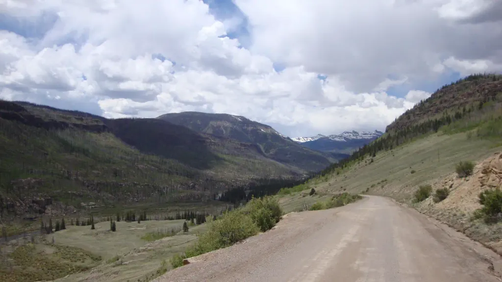
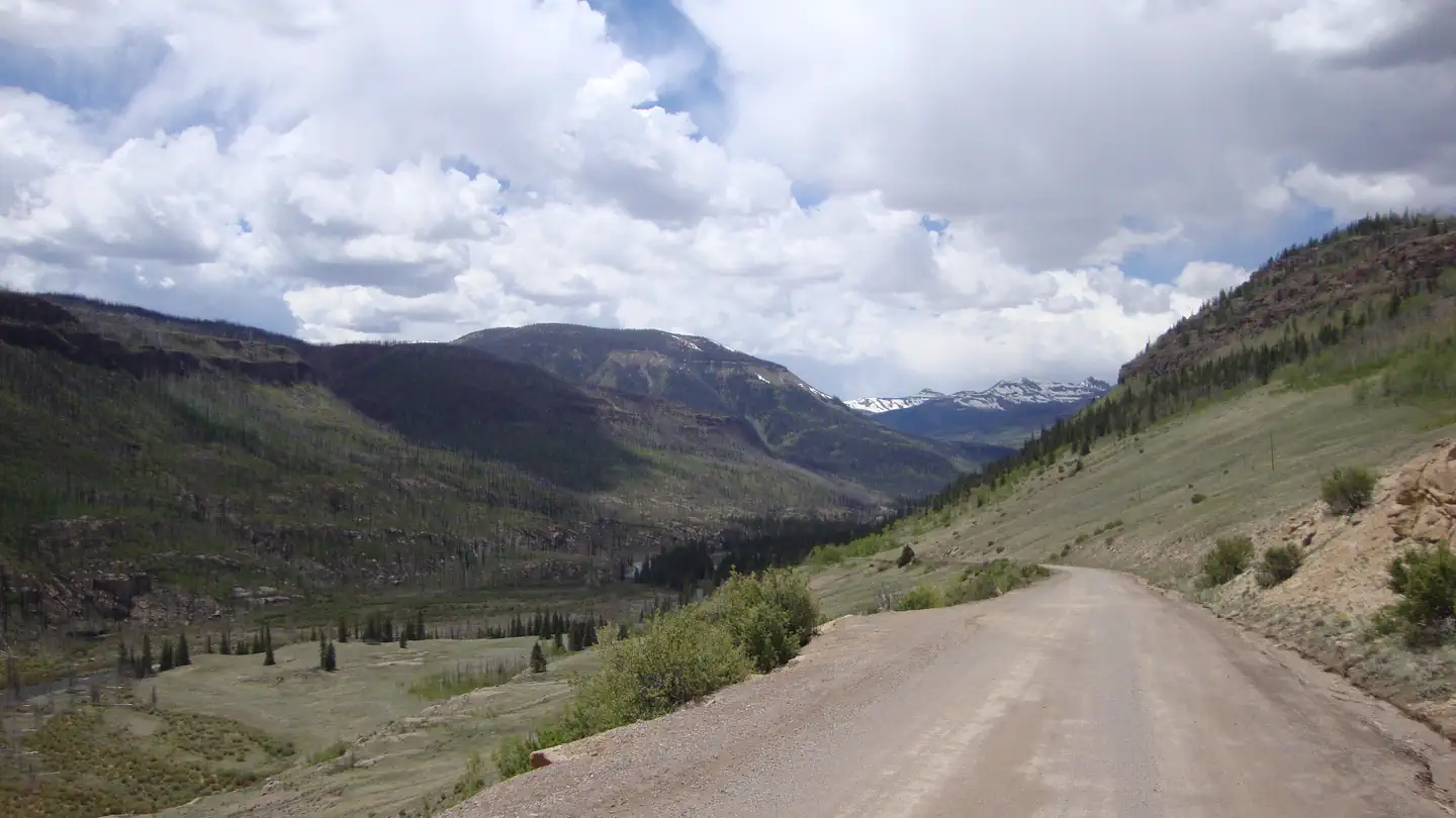
Shallow Creek is a 4.7-mile out-and-back trail located in Colorado near Norwood, managed by the Grand Mesa, Uncompahgre and Gunnison National Forest. The route features 896 feet of elevation gain, making it a moderately challenging day hike. The trail is maintained by the Norwood Ranger District of GMUG National Forest. Its out-and-back format allows hikers to turn around at any point, making it adaptable for different fitness levels and time constraints. This hike is ideal for those seeking a moderate workout in the Colorado high country. The elevation gain is distributed across the 4.7-mile distance, providing a steady climb with views of the surrounding landscape. The Norwood Ranger District manages this area to preserve the natural environment while providing recreational access. Hikers should check with the managing agency for current trail conditions, seasonal closures, and any specific regulations before planning their visit.

Mckenzie
~2 min drive
14 mi · Expert

Inspiration
~6 min drive
25 mi · Expert
Dry Gulch Trail
~8 min drive
7.0 mi · Expert

La Garita Sd.
~18 min drive
13 mi · Hard

Wason Park Cut-Off
~19 min drive
2.2 mi · Easy
Wheeler Loop
~20 min drive
2.5 mi · Easy
Wheeler
~20 min drive
21 mi · Expert
Machin Basin
~20 min drive
16 mi · Hard

Cascade Creek
~21 min drive
5.7 mi · Hard
Shallow Creek Cut-Off
~3 min drive
4.5 mi · Moderate