Loading trail…

Free — you'll pick up right here.
Watch this trail
Sign up to watch it — saving subscribes you to gate, closure and report changes.
Colorado
3.7 mi
Distance
896 ft
Gain
We won't guess. Here is exactly what we do and don't know.
What we do know
Inside White River National Forest
2 managing-area boundaries mapped — agency alerts for them feed this page automatically.
Boundary data
What's missing
No access route mapped
We don't yet know which road reaches this trailhead, so we can't tell you if it's gated.
Nobody's filed a report here yet — be the first.
Why you'll love it
Slim Jim
AI-suggested draft · review before you go
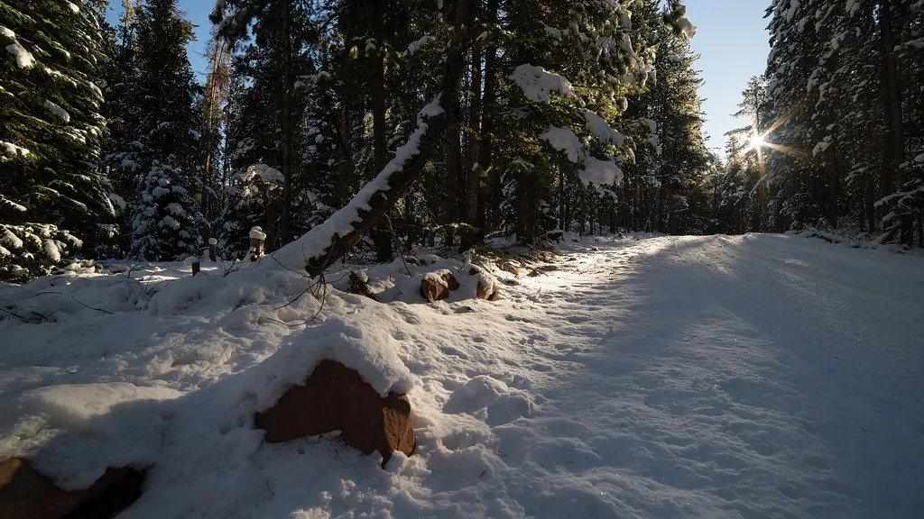
Slim Jim is a 3.7-mile out-and-back trail located in Colorado near Colorado, managed by Pike-San Isabel National Forest's Pikes Peak Ranger District. The trail gains 896 feet of elevation throughout the hike, making it a moderate option for those seeking a relatively short outing with manageable climbing. This out-and-back route allows hikers to turn around at their preferred point, offering flexibility for different fitness levels and time constraints. The trail's moderate elevation gain is distributed across its 3.7-mile distance, creating a steady climb rather than steep sections. As part of the Pike-San Isabel National Forest system, the trail falls under active management by the Pikes Peak Ranger District, ensuring maintenance and trail integrity. The area offers access to the natural landscape characteristic of the Colorado Front Range region near Pikes Peak. The out-and-back format means your total hiking distance will be double the listed mileage if you hike to the trail's end and return to the starting point. This structure makes Slim Jim suitable for hikers wanting a defined turnaround point with a clear return route.
Mount Thomas
~7 min drive
4.8 mi · Easy

Gold Dust
~8 min drive
12 mi · Hard

Montgomery Flats Tie
~9 min drive
5.0 mi · Moderate

Sneve Gulch
~10 min drive
4.3 mi · Easy

Antones
~11 min drive
5.4 mi · Hard

Miller
~12 min drive
2.4 mi · Easy

Chapman Interpretive
~13 min drive
1.2 mi · Easy

Fall Creek
~14 min drive
2.5 mi · Easy

Cross Creek
~14 min drive
7.4 mi · Expert
Cleveland Lake
~14 min drive
1.0 mi · Easy