Loading trail…

Free — you'll pick up right here.
Watch this trail
Sign up to watch it — saving subscribes you to gate, closure and report changes.
Colorado
2.1 mi
Distance
304 ft
Gain
We won't guess. Here is exactly what we do and don't know.
What we do know
Inside Pike and San Isabel National Forests
2 managing-area boundaries mapped — agency alerts for them feed this page automatically.
Boundary data
What's missing
No access route mapped
We don't yet know which road reaches this trailhead, so we can't tell you if it's gated.
Nobody's filed a report here yet — be the first.
Why you'll love it
Thomas Trail
AI-suggested draft · review before you go
No permit or access details on file for this trail — check with the local land manager before you go.
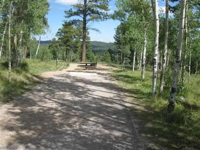
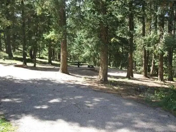
Thomas Trail is a 1.1-mile out-and-back hike located in Colorado on federally managed land. The trail gains 304 feet in elevation, making it a moderate ascent suitable for hikers seeking a relatively short outing with a noticeable climb. This federal trail offers access to the Colorado landscape and wilderness character typical of the region. The out-and-back format allows hikers to turn around at their preferred point, with the option to hike the full distance to the trail's end or explore a portion of the route. The elevation gain of 304 feet is concentrated over just over a mile, resulting in a steady grade that provides a good workout without requiring extended mileage. The trail is managed by a federal agency, ensuring maintenance and access according to public land use standards. Thomas Trail works well for hikers looking for a quick adventure with modest distance and elevation, morning hikes, or those seeking to explore Colorado's federal wilderness areas. The short distance makes it accessible for various fitness levels while still providing a meaningful hiking experience.
Mount Ester
~4 min drive
2.7 mi · Easy

Severy Creek
~6 min drive
7.5 mi · Moderate

French Creek
~8 min drive
4.8 mi · Moderate

Devil's Kitchen
~8 min drive
2.8 mi · Easy

Backdoor
~9 min drive
1.8 mi · Easy
W. Monument Creek
~10 min drive
1.5 mi · Moderate

The Crags Trail
~11 min drive
4.9 mi · Moderate

Mt. View
~11 min drive
2.2 mi · Easy

Eagles Nest
~12 min drive
1.6 mi · Easy
Barr Trail
~13 min drive
24 mi · Expert