Loading trail…

Free — you'll pick up right here.
Watch this trail
Sign up to watch it — saving subscribes you to gate, closure and report changes.
Colorado
5.0 mi
Distance
40 ft
Gain
We won't guess. Here is exactly what we do and don't know.
What we do know
Inside Grand Mesa, Uncompahgre and Gunnison National Forests
2 managing-area boundaries mapped — agency alerts for them feed this page automatically.
Boundary data
What's missing
No access route mapped
We don't yet know which road reaches this trailhead, so we can't tell you if it's gated.
Nobody's filed a report here yet — be the first.
Why you'll love it
Tower
AI-suggested draft · review before you go
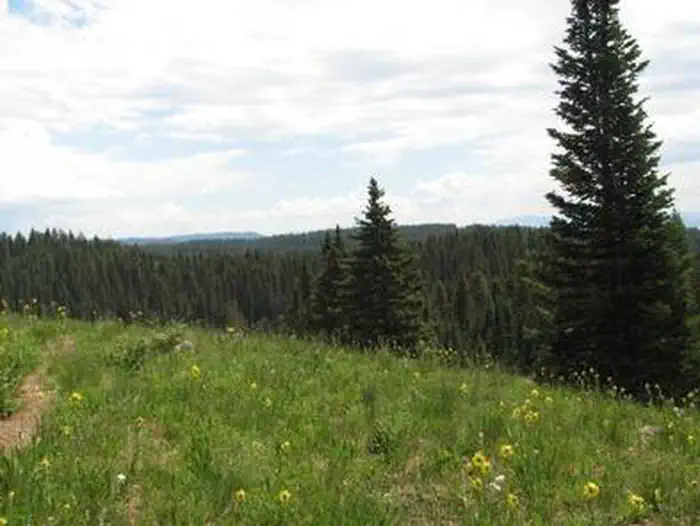
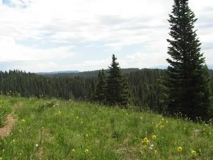
Tower Trail is a 5.0-mile out-and-back route located in Colorado near Colorado, managed by Medicine Bow-Routt National Forest Parks Ranger District. This trail features minimal elevation gain of just 40 feet, making it accessible for hikers of varying ability levels. The gentle gradient and moderate distance make it suitable for a leisurely day hike or an introductory outing in the Medicine Bow-Routt area. The out-and-back format allows hikers to turn around at their preferred point, offering flexibility in trip duration and intensity. The trail passes through terrain managed by the National Forest Service, providing access to the natural landscape of northern Colorado. With its low elevation change and straightforward route structure, Tower Trail is a good option for families or those seeking a less strenuous hiking experience. Be sure to check current conditions and any seasonal closures through the Parks Ranger District before planning your visit.

Dog Loop
~0 min drive
3.0 mi · Easy
Overlook
~0 min drive
4.0 mi · Easy
Traverse
~1 min drive
2.1 mi · Easy

Palisade Plunge
~2 min drive
24 mi · Easy

Sunlight to Powderhorn Sno
~2 min drive
21 mi · Hard

Kannah Crossing
~3 min drive
5.1 mi · Easy
Scales Lake
~3 min drive
4.5 mi · Easy

Crag to Cobbett
~4 min drive
1.9 mi · Easy
Lions
~4 min drive
2.6 mi · Easy
Ward Lake
~4 min drive
1.7 mi · Easy