Loading trail…

Free — you'll pick up right here.
Watch this trail
Sign up to watch it — saving subscribes you to gate, closure and report changes.
Idaho
2.8 mi
Distance
544 ft
Gain
We won't guess. Here is exactly what we do and don't know.
What we do know
Inside Caribou-Targhee National Forest
2 managing-area boundaries mapped — agency alerts for them feed this page automatically.
Boundary data
What's missing
No access route mapped
We don't yet know which road reaches this trailhead, so we can't tell you if it's gated.
Nobody's filed a report here yet — be the first.
Why you'll love it
Camp Ridge
AI-suggested draft · review before you go
No permit or access details on file for this trail — check with the local land manager before you go.
Camp Ridge — Idaho, 2.8 mi.
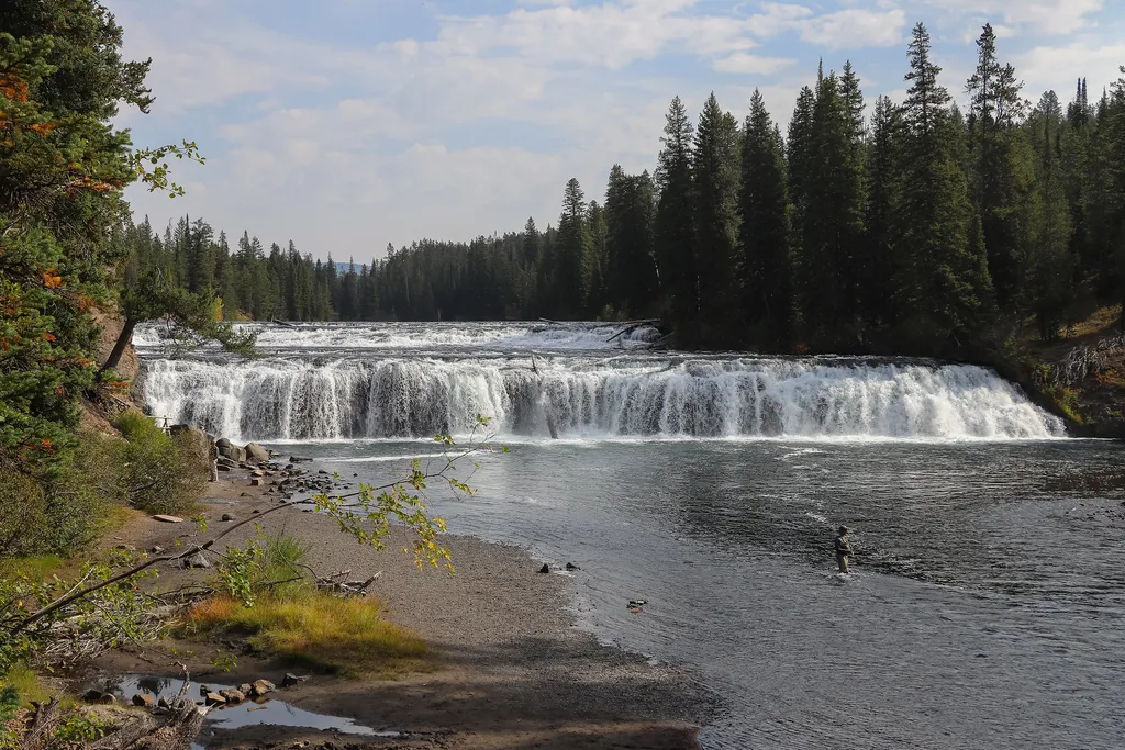
Cave Falls Trailhead (9K2)
~20 min drive
<p>This trailhead is located along the Cave Falls Road, just north of the southern park boundary. This trailhead provides access to the following trails:</p> <ul> <li>Bechler River Trail</li> <li>South Boundary Trail: Bechler Ranger Station–Grassy Lake</li> </ul> <p><b>Bechler…
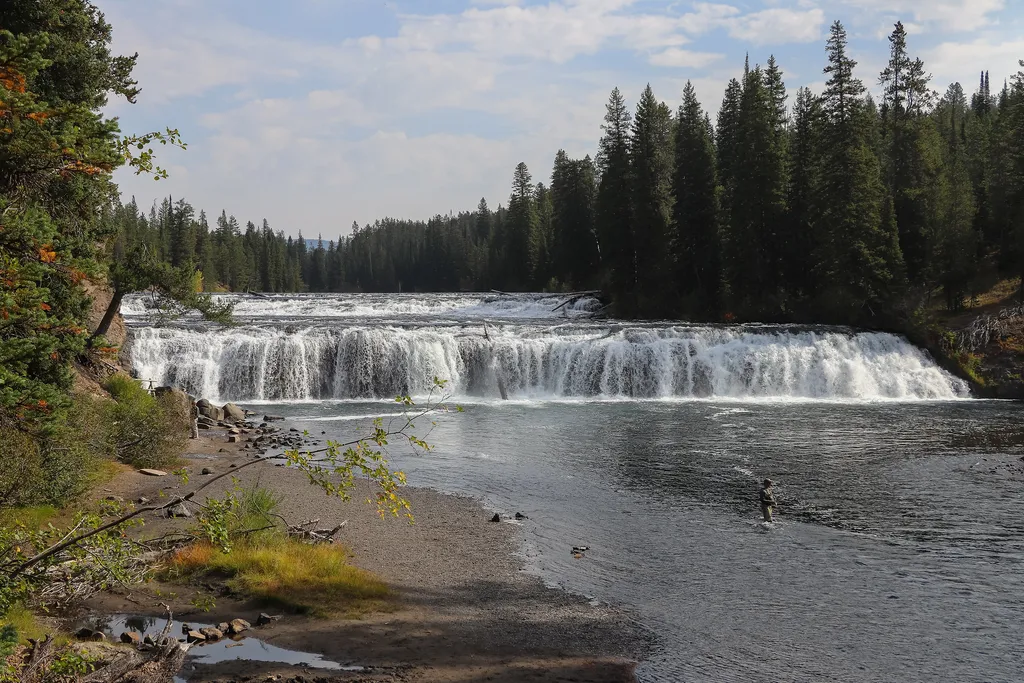
Cave Falls Picnic Area
~21 min drive
<p>This picnic area has 4 picnic tables and 2 vault toilets (wheelchair-accessible).</p> <h2>Picnicking Notes</h2> <p>Campfires are allowed only in picnic areas with fire grates. Camp stoves (liquid or gas) and self-contained charcoal grills may be used at all locations. Do no…

Summit Lake Trailhead (9K9)
~24 min drive
This is a remote trailhead at the western boundary of the park that is not accessible by road. From this trailhead, you can embark on the following trail within the park: Summit Lake Trail
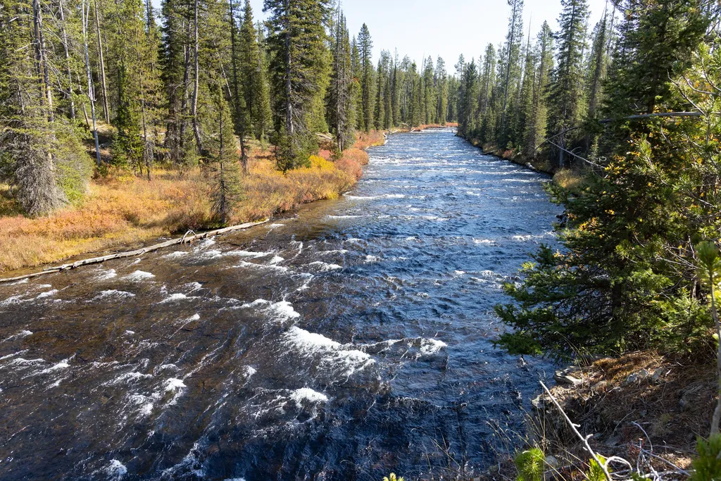
Grassy Lake Trailhead (9K6)
~35 min drive
<p>This is a more remote trailhead along the southern boundary of the park, which can be accessed by road. From this trailhead you can embark on the following trails within the park:</p> <ul> <li>Mountain Ash Creek Trail</li> </ul>
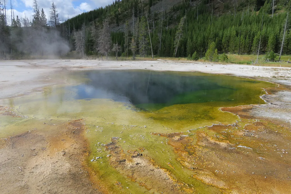
Emerald Pool
~42 min drive
<p>Emerald Pool is a large steaming pool with thin, solidified sinter around the edge of the pool. Orange thermophiles line the bottom of the pool and throughout the outwash channel. Emerald Pool was once blue with some yellow thermophiles that caused its waters to appear gree…
Sunset Lake
~43 min drive
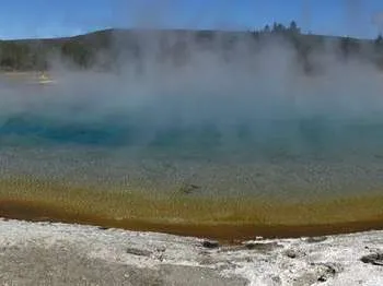
<p>A large colorful pool, Sunset Lake is deep and blue at the center. Along the shallow shelf of sinter surrounding the pool grow yellow and then orange thermophiles. Sunset Lake has had previous eruptions and constant boiling activity due to its high temperatures, with the la…
Cliff Geyser
~43 min drive
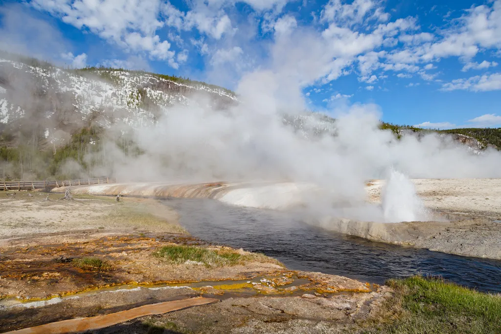
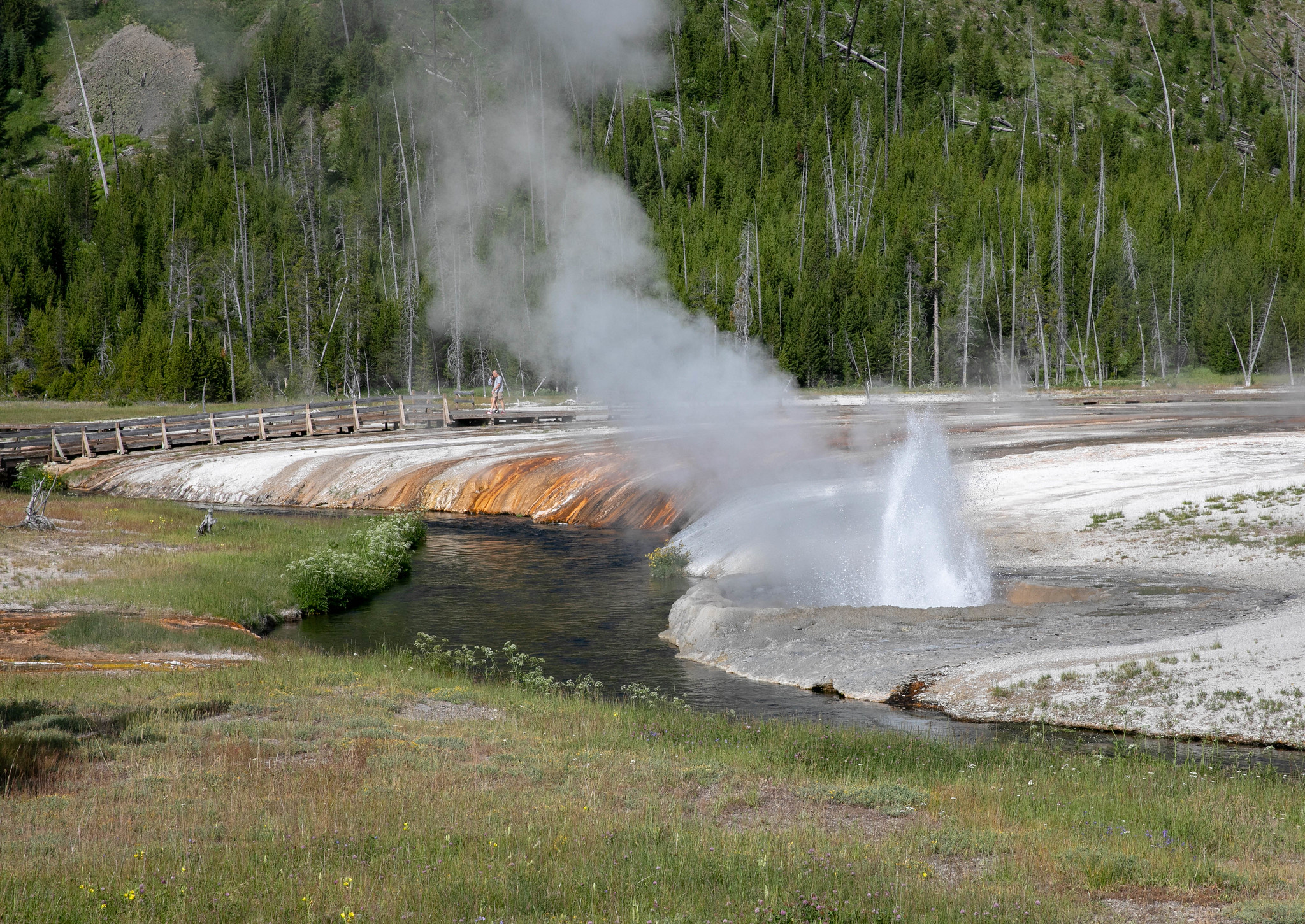
<p>Cliff Geyser is a clear pool in a geyserite ring that sits along the river bank. Round, bulbous geyserite fills the ring and forms the outer edge, but outside the ring pea-sized geyserite covers the surface. Hard sinter covers the further surrounding area. Some orange therm…
Black Sand Basin Trailhead
~43 min drive
1 mile (1.6 km) walk to Black Sand Basin from Daisy Geyser or 1 mile (1.6 km) drive northwest of Old Faithful along the main road. Named for sand derived from black volcanic glass (obsidian), this basin features some of the most splendid hot springs in Yellowstone. Hydrother…
Black Sand Pool
~43 min drive
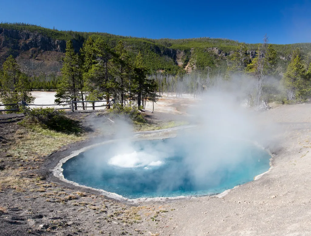
<p>Black Sand Pool is a large, blue pool sitting in a hillside depression with a narrow runoff channel that fans out once outside of the hillside tree line, forming braided channels of orange thermophiles. Initially referred to as the Black Sand Geyser, Black Sand Pool used to…
Trail Canyon
~3 min drive
14 mi · Hard
Also worth it near here