Loading trail…

Craters of the Moon, the Oregon Trail
Free — you'll pick up right here.
Watch this trail
Sign up to watch it — saving subscribes you to gate, closure and report changes.
Idaho
No agency boundary, access route or field report is mapped to it — so there is no verdict, and we won't guess. We'll tell you the moment this trail has something to say.
Nobody's filed a report here yet — be the first.
Craters of the Moon, the Oregon Trail
AI-suggested draft · review before you go
No elevation data on file for this trail.
History A Safer Alternative The Oregon Trail followed the course of the Snake River, about 100 miles south of the monument. In 1852, John Jeffrey began promoting a spur trail which traced traditional Shoshone migration routes. He wanted to generate business for his ferry at the mouth of the Blackfoot River. Although the cutoff received some use from 1852-1854, it was not until a decade later that a large percentage of Oregon Trail traffic chose the route. In 1862, an emigrant party asked guide Tim Goodale to lead them west from Fort Hall on the cutoff pioneered by Jeffrey. They hoped the alternate trail would enable them to reach the Salmon River gold fields more directly. Goodale succeeded in leading a group of 1,095 people, 338 wagons, and 2,900 head of stock safely from Fort Hall to Boise. It took this enormous wagon train -- the largest to travel any section of the Oregon Trail -- over 3 hours to get into or out of camp. By 1862, the Northern Shoshone and Bannock tribes were beginning to resist the intrusion of emigrants into their homeland. Skirmishes occurred between the Shoshone and emigrants near Massacre Rocks State Park. The growing hostility along the trail resulted in increased demand for a safe alternative. In 1863, seven out of every ten wagons en route from Fort Hall to Boise took Goodale's Cutoff instead of the main Oregon Trail. Skirting the Lava Flows The 230-mile spur headed north from Fort Hall toward Big Southern Butte, a conspicuous landmark on the Snake River Plain. From there it passed near the present-day town of Arco, wound through the northern part of Craters of the Moon National Monument and Preserve, went southwest to Camas Prairie, and ended at Fort Boise. This journey typically took two to three weeks. Goodale's Cutoff took its toll on the travelers and their wagons. The rugged lava restricted travel to one lane, so progress was slow. The path along the edge of the lava flows was circuitous. The emigrants typically passed through in late July, the hottest part of the summer. Wood dried out in the desert air and shrank, causing wheels and boxes to come apart. Pioneers wrote of finding pieces of broken wagons littering the trail. For nearly 50 years, westward-bound pioneers used Goodale's Cutoff. Later, miners moving ore to railroad depots and stagecoaches carrying passengers to the towns of southern Idaho took the route. But the advent of the railroad and automobile led to the demise of Goodale's Cutoff as a wagon route. Today those driving US-20, which follows sections of the route, need not concern themselves with survival and can take time to appreciate the unique beauty of the harsh landscape. Site Information Location: Craters of the Moon National Monument and Preserve, Arco, Idaho. Goodale's Cutoff is visible at many points along Highway 20/26/93 between Arco and Carey. The route winds through the northern end of the monument out of sight of the road and intersects the highway 3.5 miles west of the visitor center. From that point on, watch for the dirt road as it follows the edge of the lava flows north of the highway. The cutoff is particularly easy to pick out 5.7 miles west of the visitor center, where the road drops down a steep incline. Look to the slope north of the road, where several earlier routes through this notch are visible. The highest road is Goodale's Cutoff. At Lava Lake, 11.3 miles west of the visitor center, there is a historical marker which describes Goodale's Cutoff. Goodale's Cutoff is not accessible by car within Craters of the Moon. Check at the visitor center for more information on where to see the trail. Safety Considerations More Site Information Oregon National Historic Trail
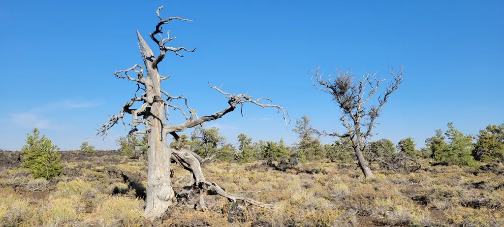
Devils Orchard Nature Trail
~14 min drive
This paved 0.5 mi (0.8 km) trail explores an area of cinder beds scattered with pieces of North Crater. Exhibits along the trail challenge you to consider the difficulties of protecting this fragile environment. This trail is wheelchair accessible. Corresponds to #4 on the pa…
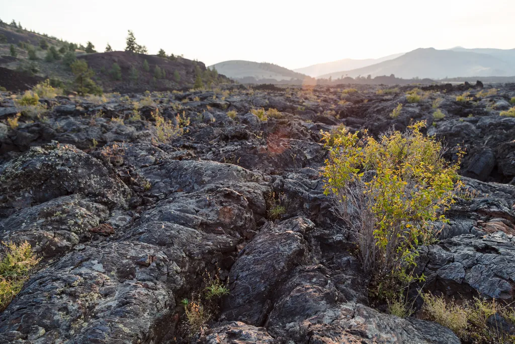
North Crater Flow Trail
~14 min drive
An excellent introduction to the Craters of the Moon landscape, an easy, paved 0.3 mi (0.5 km) loop winds through a pahoehoe lava flow that spilled from the North Crater vent about 2,100 years ago. For your safety and in order to protect this sensitive area, off-trail travel i…
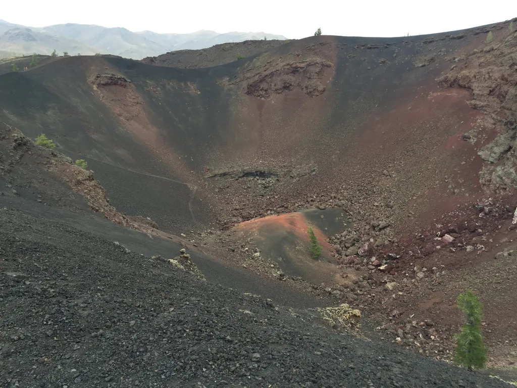
Big Craters
~16 min drive
The source of one of the most recent eruptions at Craters of the Moon, Big Craters allows visitors to venture up to the edge of one of the park's larger craters. Big Craters is located at the southern end of North Crater Trail near the Spatter Cones area. A short, steep hike…
Inferno Cone
~15 min drive
The steep 0.4 mi (0.8 km) trail to the top of Inferno Cone is challenging, but it rewards hikers with 360-degree views of the Great Rift, the Snake River Plain, and the Pioneer Mountains. On clear days, you may even see the Teton Range, 100 miles to the east. Make the strenuo…
Craters of the Moon Wilderness
~18 min drive
Established in 1970, the Craters of the Moon Wilderness was one of the first NPS-managed wilderness areas to be created under the Wilderness Act. This area spans over 43,000 acres and is only accessible by hiking. The area offers wide expanses of sagebrush dotted with the occa…
Antelope Road - FR 137
~20 min drive
15 mi · Hard
Hurst Canyon
~24 min drive
16 mi · Hard
Fish Creek Summit
~26 min drive
12 mi · Hard
Muldoon-Ironbog
~32 min drive
12 mi · Hard
Brockie Lake
~34 min drive
3.9 mi · Moderate