Loading trail…

Forest and Fire Nature Trail
Free — you'll pick up right here.
Watch this trail
Sign up to watch it — saving subscribes you to gate, closure and report changes.
Montana
We won't guess. Here is exactly what we do and don't know.
What we do know
Inside Glacier National Park
National Park unit boundary is mapped — agency alerts for it feed this page automatically.
Boundary data
What's missing
No access route mapped
We don't yet know which road reaches this trailhead, so we can't tell you if it's gated.
Nobody's filed a report here yet — be the first.
Why you'll love it
Forest and Fire Nature Trail
AI-suggested draft · review before you go
No elevation data on file for this trail.
Welcome to the Forest & Fire Nature Trail. Depending on where you’re from, the word “wildfire” can be letters on a page or... a whole lot more. For some, the word “wildfire” can trigger dramatic and visceral recall of the sights, sounds, smells, and tastes of the earth on fire. Fire has long had a strong hand in shaping Glacier’s landscape. The following exhibits show and tell the story of fire and forests in Glacier National Park over the last hundred or so years. You are encouraged to consider how that relationship has evolved over time. The parking lot of this trailhead has a series of exhibits about wildfire. Some of them are in the middle of the parking lot and another is nearby at the start of the trail. There is an audio tour of the exhibits that reads and describes the panels, as well as an additional audio stop along the trail. The Forest & Fire Nature Trail itself does not have any exhibits but offers the chance to see the effects of fire for yourself. Forest & Fire Nature Trail Distance: 1.1 mi (1.7 km), loop Trailhead: Camas Road, 0.5 miles east of intersection with North Fork Road While in Glacier National Park, please maintain extra awareness around water, steep dropoffs, and wildlife. You are responsible for your own safety.
Numa Lookout Trailhead
~25 min drive
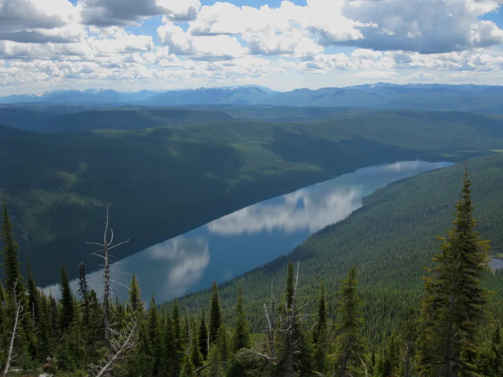
This trail takes you to one of the (seasonally) staffed fire lookouts in the park. It starts on the shore of Bowman Lake, with the first half remaining relatively flat before gaining elevation. Numa Lookout Distance: 5.7 mi (9.2 km), one way Elevation gain: 3,396 ft (1035 m)…
Avalanche Creek
~25 min drive
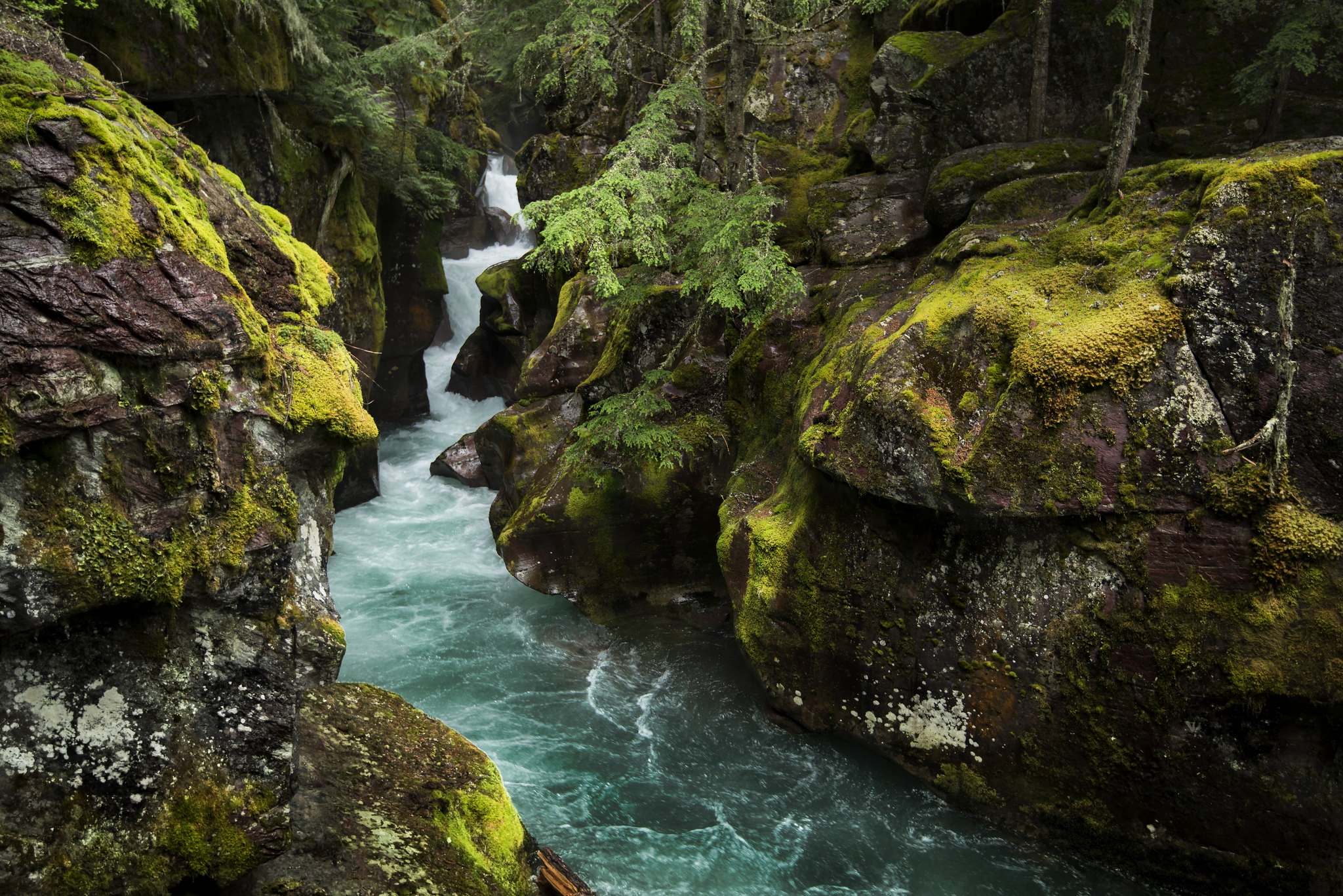
Home to two of the Glacier's iconic trails, the Avalanche Creek area is one of the most popular and crowded spots in the park. The old growth cedars and hemlock trees are unlike anywhere else in the Glacier. Enjoy the picnic area, a short boardwalk trail, or a moderate hike t…
Forest and Fire Nature Trail Fire Ecology
~0 min drive
This trail is a great place to explore a post-fire environment. Any disturbance—whether that’s a fire, an avalanche, a landslide, or a pest outbreak—resets the ecological clock. The mature trees die, opening the canopy to light and making way for new species to take hold. Grad…
Demers Ridge
~1 min drive
14 mi · Hard
Du Hein
~4 min drive
3.0 mi · Moderate
Glacier View Mtn.
~5 min drive
5.7 mi · Easy
Deadhorse-Elelehum
~13 min drive
5.5 mi · Moderate
Kimmerly Creek
~13 min drive
3.0 mi · Easy
Kinnimiki Creek
~14 min drive
8.4 mi · Hard
Skookoleel Creek
~14 min drive
11 mi · Hard
Also worth it near here