Loading trail…

Free — you'll pick up right here.
Watch this trail
Sign up to watch it — saving subscribes you to gate, closure and report changes.
Montana
7.3 mi
Distance
887 ft
Gain
We won't guess. Here is exactly what we do and don't know.
What we do know
Inside Custer Gallatin National Forest
2 managing-area boundaries mapped — agency alerts for them feed this page automatically.
Boundary data
What's missing
No access route mapped
We don't yet know which road reaches this trailhead, so we can't tell you if it's gated.
Nobody's filed a report here yet — be the first.
Why you'll love it
Lionhead Loop (Snowmo)
AI-suggested draft · review before you go
No permit or access details on file for this trail — check with the local land manager before you go.
Lionhead Loop (Snowmo) — Montana, 7.3 mi.
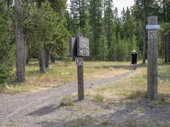
Riverside Ski Trails Trailhead (WK9)
~14 min drive
The Riverside Ski Trail provides several easy options to ski along the Madison River and enjoy views of both the Gallatin and Madison mountain ranges. Boundary Street to loops: 1 mile (1.6 km) Downriver loop, full: 3.5 miles (5.6 km) Downriver loop, short: 2.2 miles (3.5 km) U…
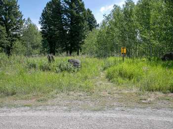
Gneiss Creek (WK7)
~18 min drive
This trailhead along Highway 191 in the western part of the park provides access to one trail: Gneiss Creek Trail Gneiss Creek Trail This moderate 13.9-mile (22.4-km) one-way hike that can start at either the Gneiss Creek Trailhead along Highway 191 and the western boundary…
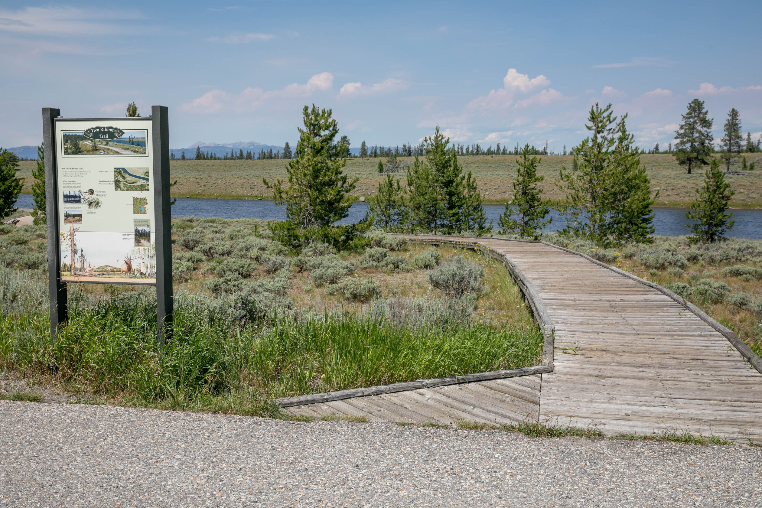
Two Ribbons Trailhead - West
~19 min drive
This is an easy 0.7-mile (1.1-km) boardwalk loop trail that goes through conifer trees along the Madison River. Interpretive signs along the trail provide additional information about the area. This trail can be accessed from either trailhead.
Two Ribbons Trailhead - East
~19 min drive
This is an easy 0.7-mile (1.1-km) boardwalk loop trail that goes through conifer trees along the Madison River. Interpretive signs along the trail provide additional information about the area. This trail can be accessed from either trailhead.
East Fork Denny Creek
~1 min drive
3.0 mi · Moderate
Lionhead (Snowmo)
~4 min drive
5.8 mi · Moderate
Mt
~4 min drive
2.0 mi · Easy
Dry Fork
~5 min drive
14 mi · Hard
Targhee Creek
~5 min drive
12 mi · Hard
Lionhead
~8 min drive
2.0 mi · Easy
Also worth it near here