Loading trail…

Rescue Creek Trailhead (1N2)
Free — you'll pick up right here.
Watch this trail
Sign up to watch it — saving subscribes you to gate, closure and report changes.
Montana
We won't guess. Here is exactly what we do and don't know.
What we do know
Inside Yellowstone National Park
National Park unit boundary is mapped — agency alerts for it feed this page automatically.
Boundary data
What's missing
No access route mapped
We don't yet know which road reaches this trailhead, so we can't tell you if it's gated.
Nobody's filed a report here yet — be the first.
Rescue Creek Trailhead (1N2)
AI-suggested draft · review before you go
No elevation data on file for this trail.
Bunsen Peak prominently sits south of Mammoth Hot Springs. From this trailhead, you can embark on the following trails: Bunsen Peak Trail Bunsen Peak Road Trail Osprey Falls Trail Parking is limited. Winter trailhead access requires a snow coach drop-off, or skiing up from the gate at the Upper Terrace parking lot. Bunsen Peak Trail A moderate 4.2-mile (6.7-km) there-and-back trail to the summit of Bunsen Peak. Although this is a relatively short hike, the elevation gain is 1,300 feet (396 m) over 2.1 miles (3.2 km) of switchbacked trail. CAUTION: Grizzly bears frequent this area. Bunsen Peak Road Trail A 6-mile (9.6-km) one-way, moderate trail that follows an old service road curving around the southern and eastern sides of Bunsen Peak. The first 3 miles (4.8 km) are mostly level. On the northeast side of Bunsen Peak, the road becomes steep and winding, dropping 960 feet in 2.5 miles (292 m in 4 km) to Glen Creek. CAUTION: Some curves have steep drop-offs and can be hazardous when icy. Osprey Falls Trail A strenuous, 8-mile (12.9-km) there-and-back trail that descends into one of the deepest canyons in the park. Follow Bunsen Peak Road through grassland and burned forest 3 miles (4.9 km) to Osprey Falls Trail. Descend 700 feet (213 m) into Sheepeater Canyon. Osprey Falls, on the Gardner River, plunges 150 feet (46 m) over the edge of a lava flow. Return by the same route. Hiking, biking, skiing, and snow-shoeing allowed on Bunsen Peak Road. No bikes allowed on Osprey Falls Trail. CAUTION: Grizzly bears frequent this area. Backcountry Regulations Permit required for fishing, boating, riding, and overnight camping. More information at the Center Backcountry Office: (307) 344-2160. Hiking Hike in groups of 3 or more; keep your group together. Tell someone where you are going and when you expect to return. Know your route, carry a map, and be able to navigate. Do not hike after dark. Stay on established trails; off-trail travel prohibited in thermal areas. Fishing and Boating Aquatic Invasive Species (AIS) inspection required for all watercraft including boats, float tubes, and stand up paddle boards. Felt soles prohibited. Riding and Packing Proof of negative Coggins test within last 12 months required. Food Storage and Camping These regulations apply to ALL backcountry users. Sleep 100 yards (91 m) from your food storage and cooking areas. Do not leave food, trash, toiletries, backpacks, coolers, water bottles, or any potential attractant unattended. Store food in an approved bear resistant container or hang on a food pole 10 feet (3 m) above the ground and 4 feet (1 m) from sides. Carry a minimum of 35 feet (11 m) of rope. Campfires allowed only in designated campsites within established fire rings. Extinguish campfires completely before leaving site. Follow LEAVE NO TRACE travel and camping techniques. Enjoy the backcountry and help keep it clean for others to enjoy. Bury human waste and toilet tissue in a 6–8 inch (15–18 cm) deep “cat hole” at least 100 feet (30 m) from water and trails. River Crossings Park waters are swift and cold. Swimming in park rivers is not recommended. River crossings are hazardous. Lightning Safety During thunderstorms, descend to lower elevation, avoid open areas and isolated tall trees. Assume lightning position: feet together, crouch on foam pad or sit on pack, hands over ears. Regulations Leave What You Find: Do not collect anything from the park. No Pets: No pets on trail. Obtain service animal regulations at backcountry offices. No Hunting: No hunting or discharge of firearms. No Motorized Vehicles: No motorized vehicles on trails. Wheeled Vehicles Restricted: No bicycles, strollers, or wheeled vehicles (except wheelchairs), except where specified. In an emergency, dial 9-1-1 or contact the nearest ranger station. Animals are Dangerous Do not approach or feed any animal. Bison and elk have injured people. Stay 100 yards (91 m) from bears and wolves. Stay 25 yards (23 m) from all other animals. Be Prepared for a Bear Encounter Grizzly and black bears inhabit all of Yellowstone National Park. Be Alert: Watch for signs of bear activity: scratches in trees, tracks, scat, or dig sites. Avoid dead animals. Make Noise: Avoid surprising a bear by calling out and clapping your hands at regular intervals to make your presence known. Carry Bear Spray: Carry bear spray and know how to use it. Keep it immediately available, not inside your pack. Hike in Groups: Travel in groups of 3 or more is recommended. Stay with your group at all times. What to do... If You Encounter a Bear: Stay calm, do not run. Quietly detour or back away; stop if this seems to agitate the bear. Stay at least 100 yards (91 m) from bears. Do NOT feed bears or other animals. If a Bear Charges You: Stand still, do not run. Stand your ground and use your bear spray. Spray when the bear is 60 feet (18 m) away or closer. If a bear charges, it may be a bluff charge. If a Bear Makes Contact: Drop to the ground; play dead. Lie face down and clasp your hands over the back of your neck; stay still and silent. Wait several minutes after the bear leaves before getting up and leaving the area.
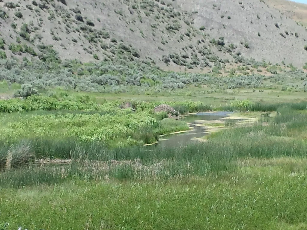
Boiling River
~3 min drive
<p><span style="color:#c0392b;"><strong>No swimming at Boiling River.</strong></span> Currently, swimming is not possible at Boiling River because of the impacts to the river from the <a href="https://www.nps.gov/yell/planyourvisit/flood-recovery.htm">2022 floods</a>.</p> <h2>…
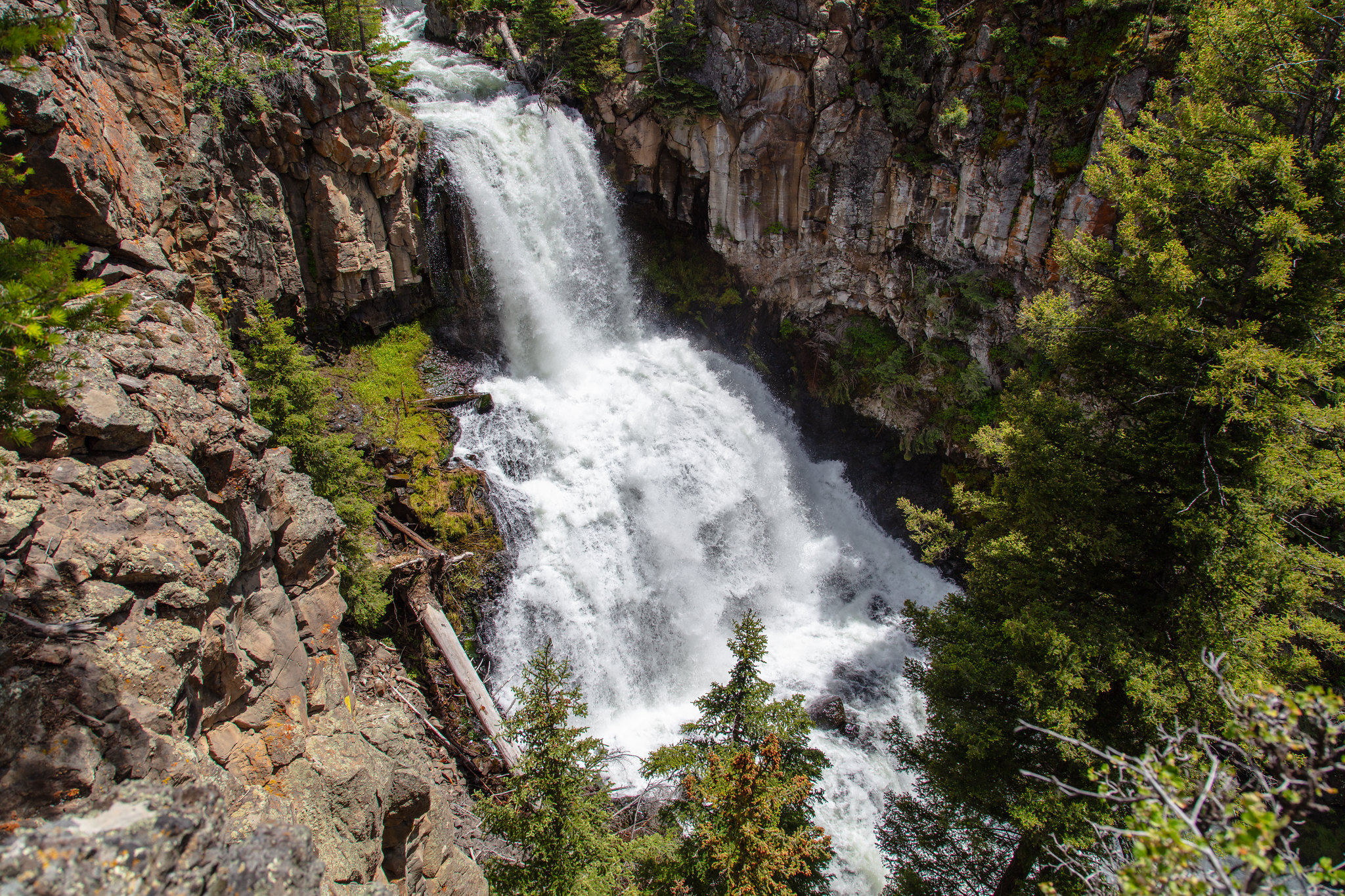
Lava Creek Trailhead (1N3)
~5 min drive
Situated across from the Mammoth Campground, the Lava Creek Trailhead provides easy access to: Lava Creek Trail There is a decent-sized parking lot at the trailhead. Lava Creek Trail A 4.2-mile (6.7-km) moderate one-way hike that begins and ends at different trailheads. Ei…
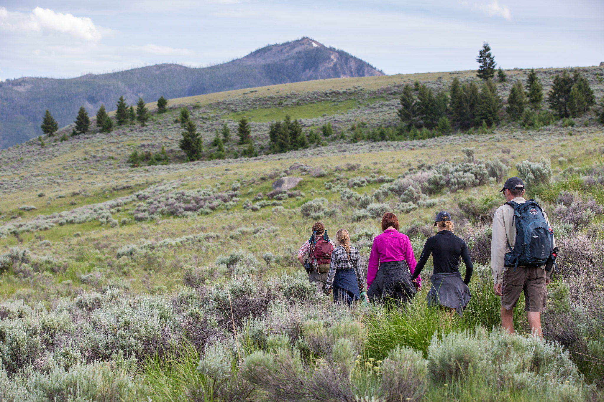
Beaver Ponds Trailhead (1N4)
~5 min drive
This trailhead is located behind the Mammoth Hot Springs Hotel, next to the start of the Old Gardiner Road. From this trailhead, you can access the following trails: Beaver Ponds Trail Selpulcher Mountain Trail There is no parking at the trailhead. However, there is parking…
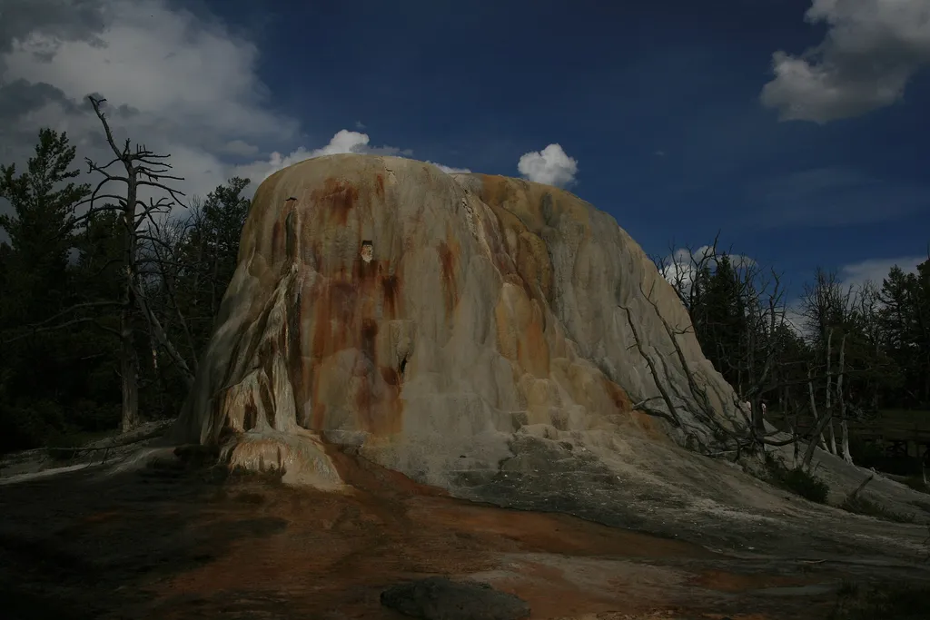
Liberty Cap
~5 min drive
<p>Liberty Cap is 37 feet (11 m) tall. It was created by a hot spring that was active in one location for a long time. Its internal pressure was sufficient to raise the water to a great height, allowing mineral deposits to build slowly and continuously for perhaps hundreds of…
Lower Terraces - Middle Trailhead
~6 min drive
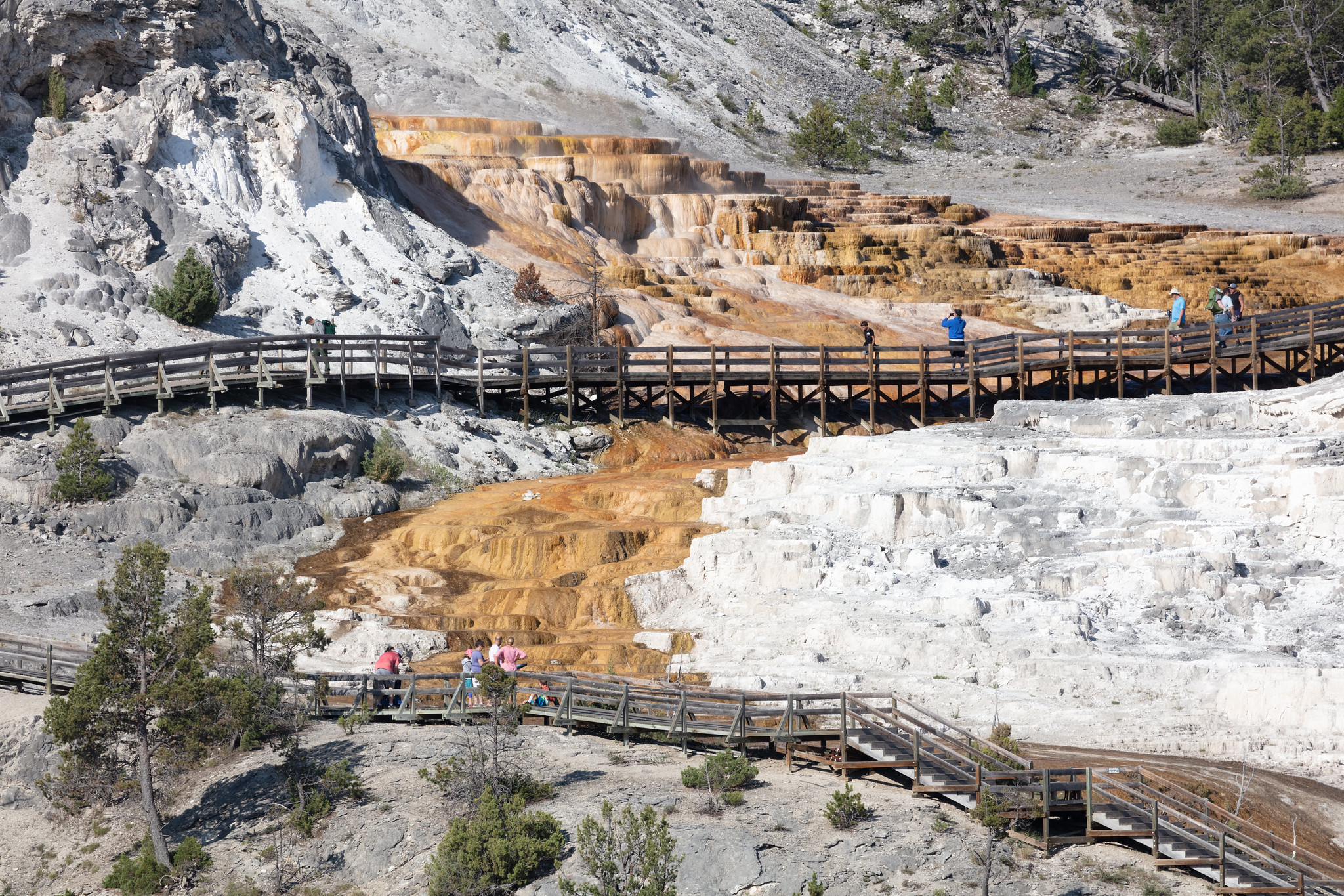
This trailhead starts partway up the Lower Terraces, with boardwalks leading to both Liberty Cap and Palette Spring at the base of the Lower Terraces to the north and Minerva Spring & Terrace to the south. The boardwalk and trail continues into the Lower Terraces, providing vi…
Minerva Terrace
~6 min drive
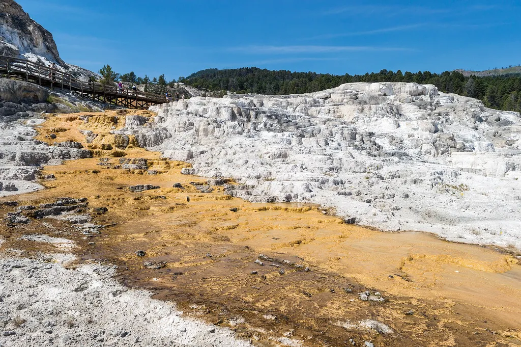
<p>Activity shifts dramatically around this terrace, named for the Roman goddess of artists and sculptors.</p> <p>The cascades of travertine beside the boardwalks were formed in the 1990s. Some years, they are dry.</p> <p>In dry areas, you can clearly see the many layers and t…
Cleopatra Spring
~6 min drive
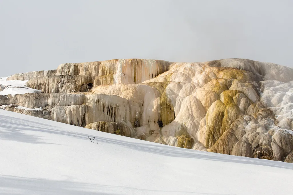
<p>These terraces are like living sculptures, shaped by the volume of water, the slope of the ground, and objects in the water’s path. Travertine builds up rapidly here and causes the features to change quickly and constantly.</p> <p>Some vents will clog completely, new vents…
Lower Terraces - South Trailhead
~6 min drive
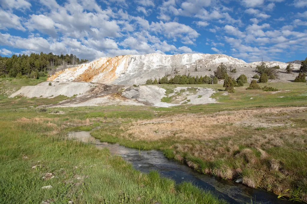
This trailhead leads into the top of the Lower Terraces, with close walks to Mound & Jupiter Terraces, New Blue Spring, Cleopatra Spring & Terrace, and Minerva Spring and Terrace. Continuing along the boardwalk beyond New Blue Spring leads to the Upper Terrace boardwalk. Mamm…
Fort Yellowstone Overlook
~6 min drive
<p>The US Army administered the park from 1886 through 1918.</p> <p>In 1910, at the height of the Army's presence in Yellowstone, there were 324 soldiers here, plus some families and numerous civilian employees. These troops staffed Fort Yellowstone and the park's outposts.</p…
Upper Terrace Overlook & Trailhead
~6 min drive
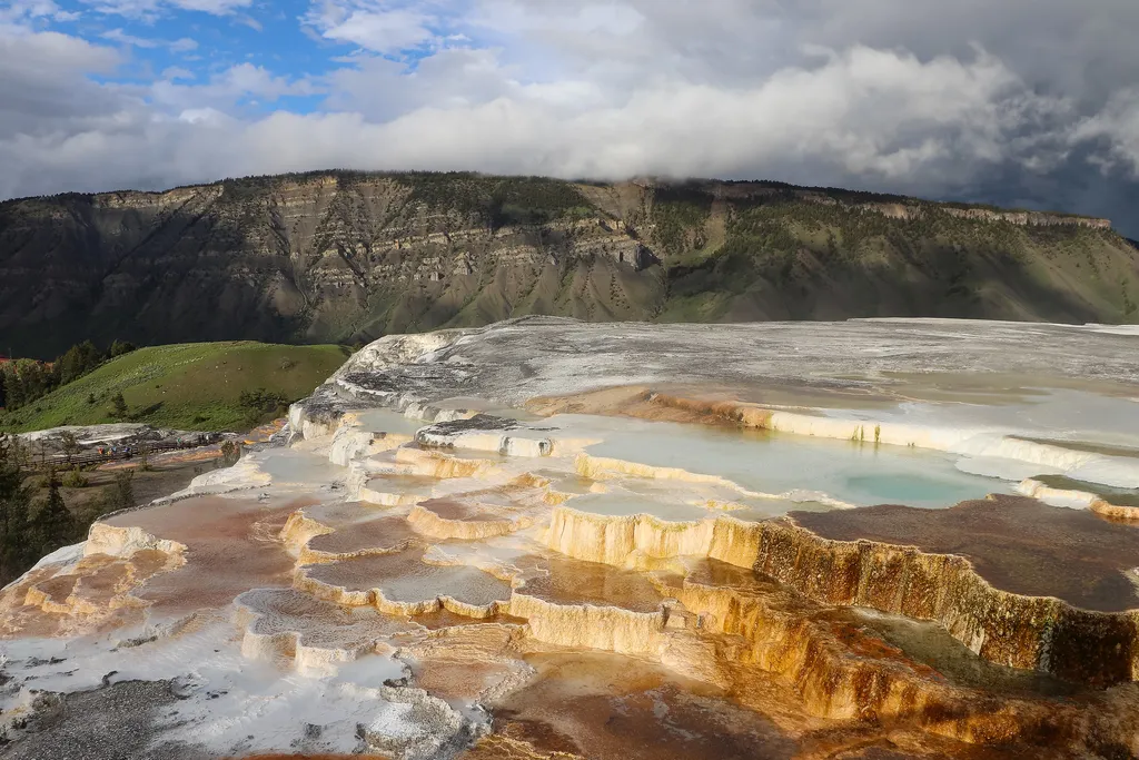
Walkways lead to the Lower Terraces, overlooks of the Main Terrace, and to Canary Spring. From the nearby overlook, you can view the Main Terrace and its colorful springs from several vantage points. At the beginning of the trail to Canary Spring, a short spur trail takes you…
Also worth it near here