Loading trail…

St. Mary Falls Trailhead
Free — you'll pick up right here.
Watch this trail
Sign up to watch it — saving subscribes you to gate, closure and report changes.
Montana
We won't guess. Here is exactly what we do and don't know.
What we do know
Inside Glacier National Park
National Park unit boundary is mapped — agency alerts for it feed this page automatically.
Boundary data
What's missing
No access route mapped
We don't yet know which road reaches this trailhead, so we can't tell you if it's gated.
Nobody's filed a report here yet — be the first.
St. Mary Falls Trailhead
AI-suggested draft · review before you go
No elevation data on file for this trail.
The hike to St. Mary and Virginia Falls—family-friendly hikes with world-class scenery—is one of the most popular day hikes on the east side of Going-to-the-Sun Road. This trailhead is a great place to start the hike, but parking is limited and fills quickly during the busy months. The nearby St. Mary Falls shuttle stop is an excellent alternative for visitors using the shuttle service. Hikers who are willing to walk a little farther can begin the trail from Sun Point, a few miles east of here.
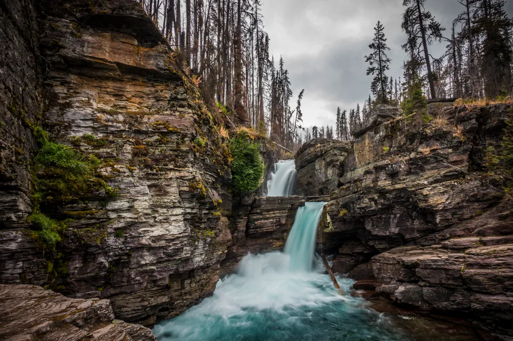
St. Mary Falls Trail
~1 min drive
St. Mary Falls is an iconic, double waterfall of clear blue water just above St. Mary Lake. Fires burned through the forest in this area in 2015, meaning the trail has little shade. Because there are a variety of ways to reach St. Mary Falls, please consult a map before settin…
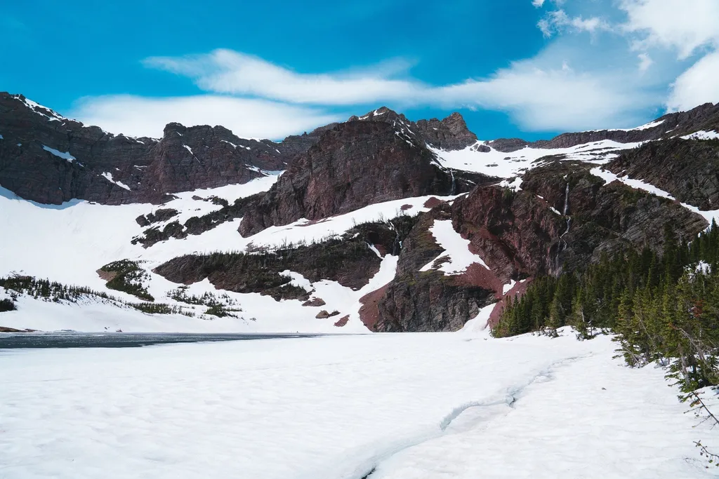
Otokomi Lake Trailhead
~7 min drive
This trail takes you to Otokomi Lake, which is surrounded with dramatic, red cliffs. Along the way, you'll pass several waterfalls, hike through the Reynolds Creek fire scar, and be treated to intermittent mountain views. Otokomi Lake Distance: 5.5 mi (8.8 km), one way Eleva…
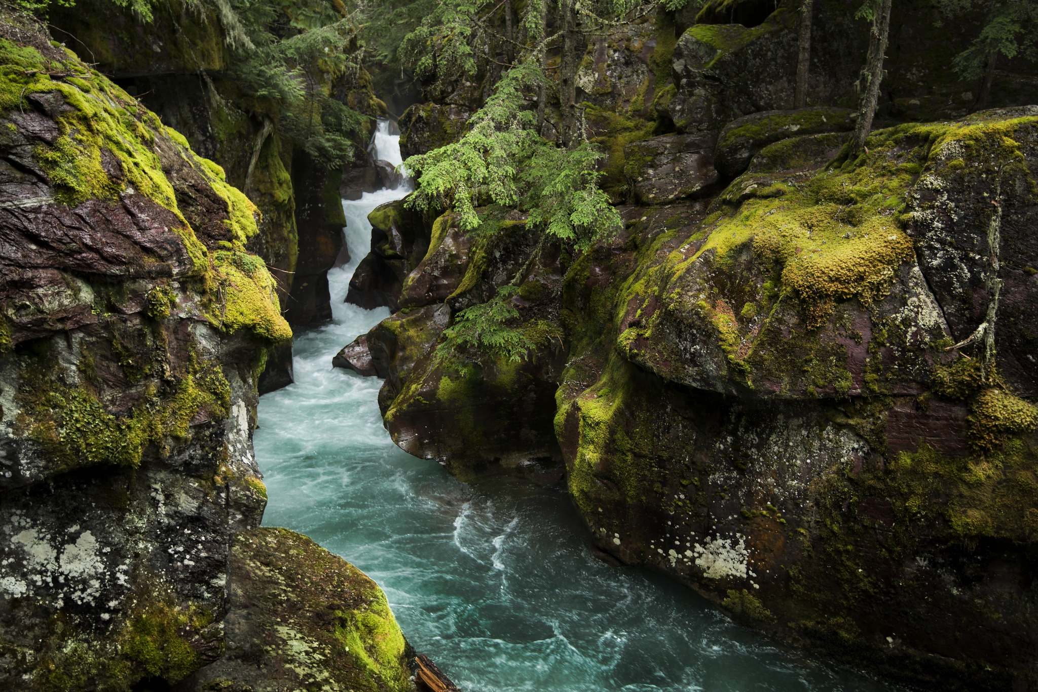
Avalanche Creek
~17 min drive
Home to two of the Glacier's iconic trails, the Avalanche Creek area is one of the most popular and crowded spots in the park. The old growth cedars and hemlock trees are unlike anywhere else in the Glacier. Enjoy the picnic area, a short boardwalk trail, or a moderate hike t…
Siyeh Pass Trail
~6 min drive
15 mi · Hard
Siyeh Bend
~6 min drive
Located at a prominent bend on Going-to-the-Sun Road, Siyeh Bend is a popular stop for hikers, serving as the starting point for the Siyeh Pass and Piegan Pass Trails. It's also a transition point between higher-elevation subalpine vegetation and the forests of the east side.…
Rising Sun Trail
~7 min drive
0.4 mi · Easy
Rising Sun
~7 min drive
With a mountainous backdrop and St Mary Lake just a short walk away. This stop on Going-to-the-Sun road offers breathtaking scenery as well as many services and activities. The Rising Sun Motor Inn offers gifts, groceries, and lodging, and nearby there's access to the rising…
Hidden Lake Trailhead
~9 min drive
Tucked behind the Logan Pass Visitor Center, this trail offers access to two popular park locations: Hidden Lake and the Hidden Lake Overlook. Hikers on this trail enjoy spectacular views of alpine plants and wildlife in the cradle of Clements and Reynolds Mountains. The trai…
Piegan Pass Trail
~15 min drive
34 mi · Hard
Beaver Pond Loop Trailhead
~15 min drive
In the summer, Beaver Pond Loop is a pleasant, relatively flat trail for hikers. In the winter, this route offers skiing and snowshoeing through aspen, meadows, and mixed conifer stands in the rolling hills east of St. Mary Lake. The Red Eagle Trail also starts from this trail…
Also worth it near here