Loading trail…

Two Eagles Interpretive Trail
Free — you'll pick up right here.
Watch this trail
Sign up to watch it — saving subscribes you to gate, closure and report changes.
Montana
We won't guess. Here is exactly what we do and don't know.
What we do know
Inside Bighorn Canyon National Recreation Area
National Park unit boundary is mapped — agency alerts for it feed this page automatically.
Boundary data
What's missing
No access route mapped
We don't yet know which road reaches this trailhead, so we can't tell you if it's gated.
Nobody's filed a report here yet — be the first.
Two Eagles Interpretive Trail
AI-suggested draft · review before you go
No elevation data on file for this trail.
Two Eagles Interpretive Trail: Easy, Handicapped accessible, 0.25 Miles Round Trip The site has been used by Native Americans for over 10,000 years. In the vicinity of the trail there are more than 140 stone circles. The stones were used by tribal families to hold down the edges of tipis. When they moved to their next encampment, they would simply roll the stones off and leave the rocks in place for their next visit. This is a historic site of cultural interest. The stones need to be left in place for future generations to enjoy and learn from this rich history.
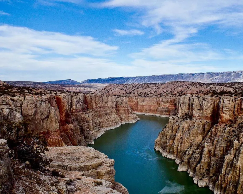
Lower Layout Creek Trail
~1 min drive
Lower Layout Creek Trail: Easy to Moderate, 3.4 Miles Round Trip The Lower Layout Creek trailhead is located at the cattle guard that marks the northern end of the Pryor Mountain Wild Horse Range. At the cattle guard, park on either side of the road making sure you are not bl…
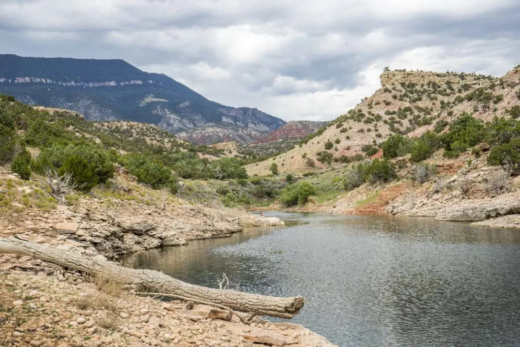
Barry’s Island Trail
~5 min drive
Barry’s Island Trail: Moderate, 4 Miles Round Trip The Barry’s Island trail starts as a two-track road leading north from the Barry’s Landing parking lot. The trail goes around Chain Canyon, a secret escape route for cattle rustlers in the late 1800s and early 1900s. At Barry…
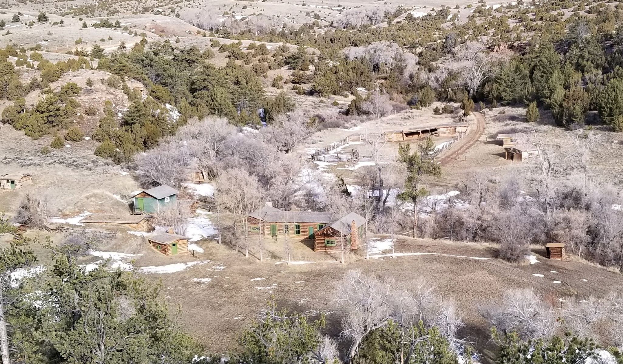
Lockhart Ranch Trail
~8 min drive
Lockhart Ranch: Easy, 0.5 or 2.1 Miles Round Trip Beyond the Barry’s Landing junction, the park road becomes unpaved. Follow this dirt road to the trailhead. The Lockhart Ranch is representative of life for western ranchers in the late 19th and early 20th centuries. The gentl…
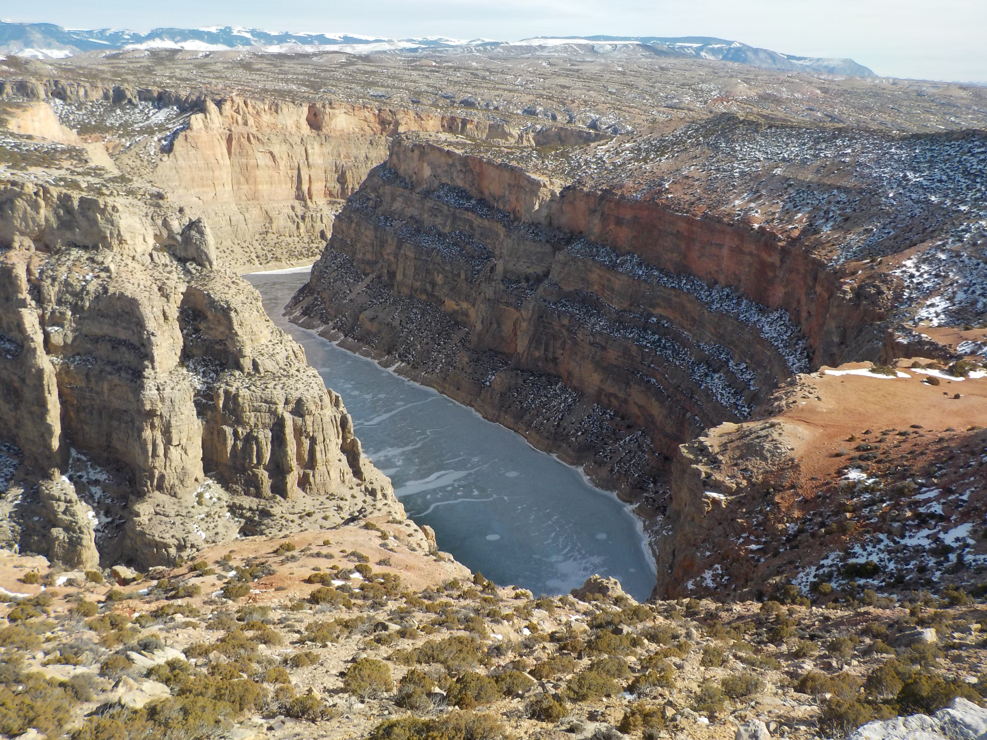
Ranger's Delight Trail
~8 min drive
Ranger's Delight: Easy to Moderate, 0.66 Miles Round Trip Park in the designated area on the west side of the park road one-half mile north of the Montana state line. The trail begins on the east side of the road on the lower north edge of the draw. While following the faint…
State Line Trail
~9 min drive
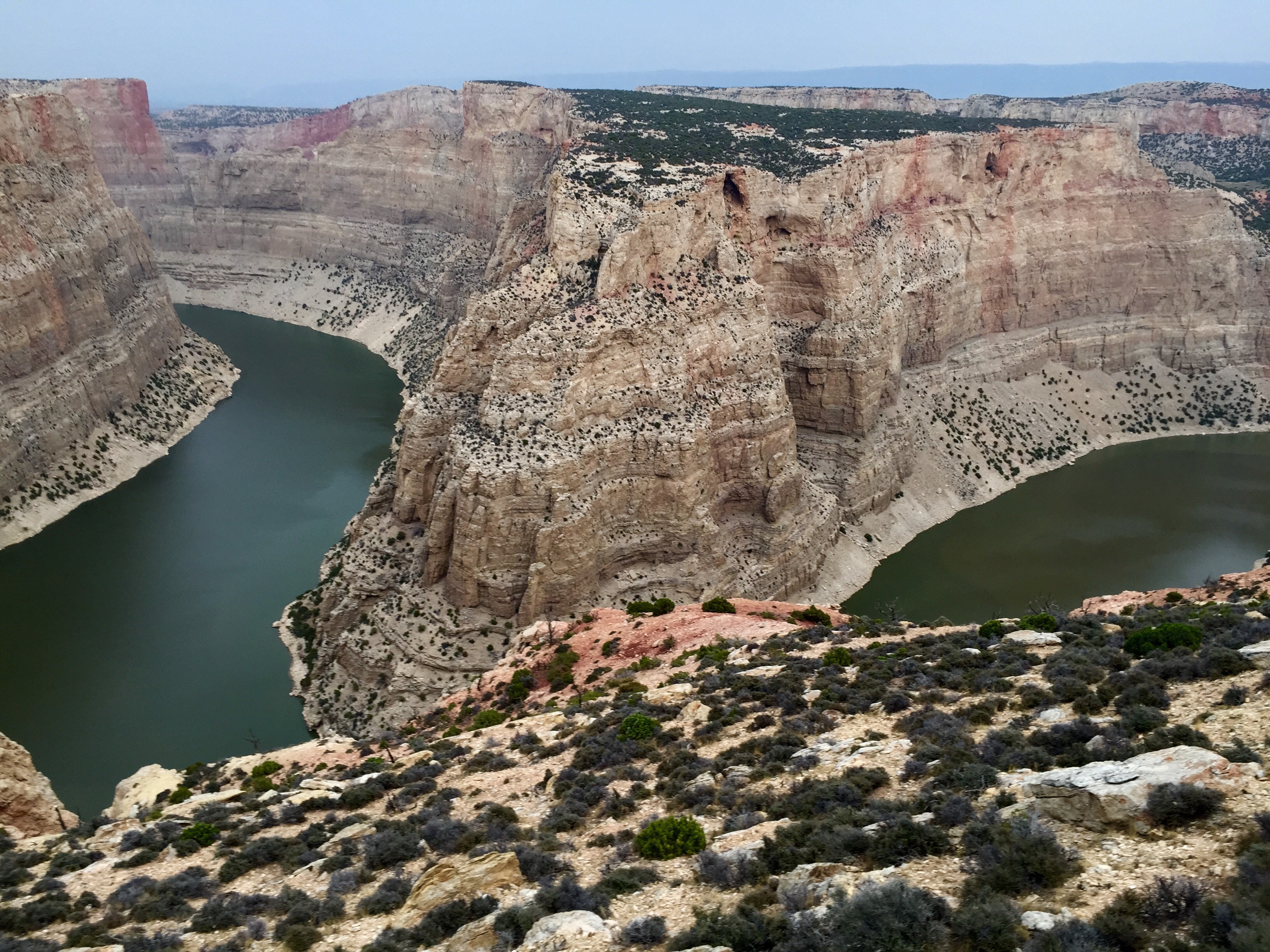
State Line Trail: Easy to Moderate, 1.52 Mile Round Trip For a serene view of Bighorn Canyon, follow the trail markers from the trailhead sign just north of the Montana state line. The trail leads to the canyon rim through juniper scrubland above limestone plateaus, culminati…
Mouth of the Canyon Trail
~13 min drive
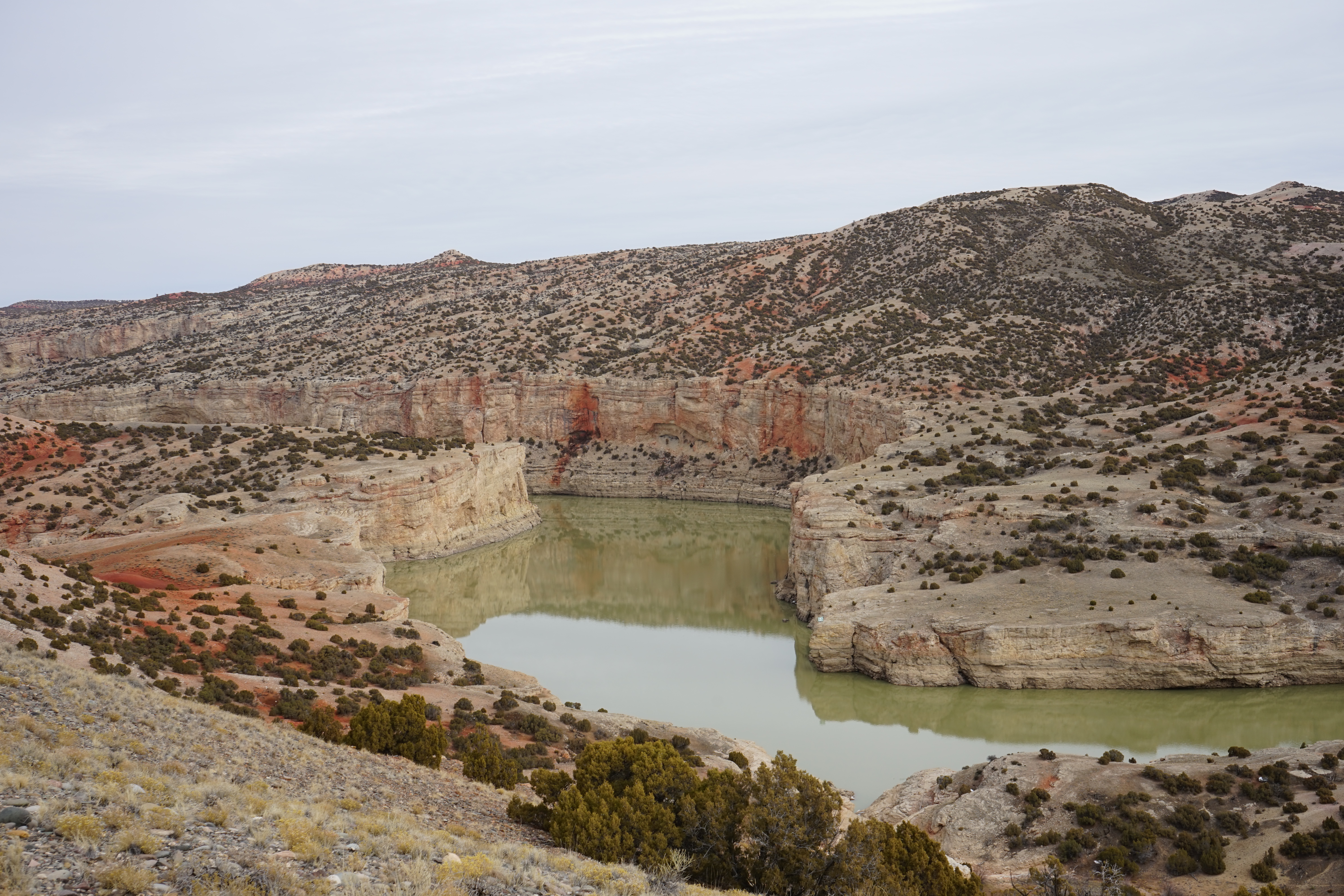
Mouth of the Canyon Trail: Moderate, 1.8 Miles Round Trip Seldom-seen views of the canyon, as well as spectacular views of the Pryor and the Bighorn Mountains, can be seen from this trail. The deep red Chugwater outcrops are a sharp contrast to the surrounding geologic colors…
Horseshoe Bend Marina
~14 min drive
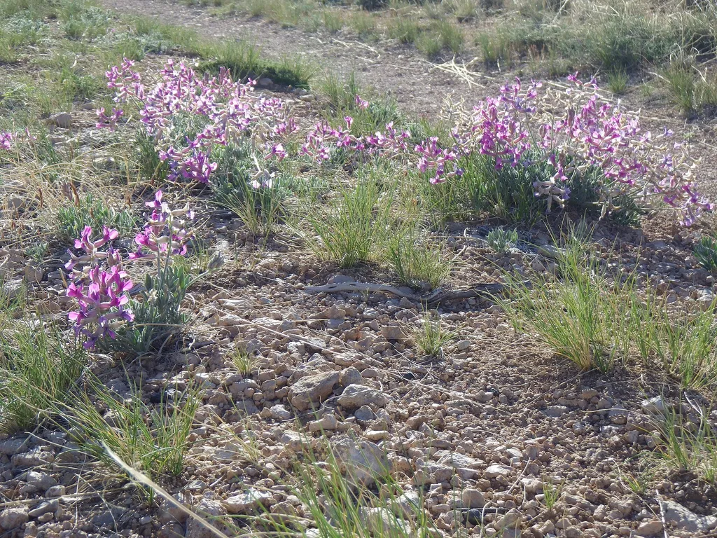
<p>The Horseshoe Bend Marina is located 14 miles outside of Lovell, Wyoming, just off Wyoming Highway 37. It is open Memorial Day weekend through early September.</p> <p>The Marina offers:</p> <ul> <li>Safety Equipment</li> <li>Fishing And Boating Supplies</li> <li>Paddle Boat…
Sykes Mountain Trail
~14 min drive
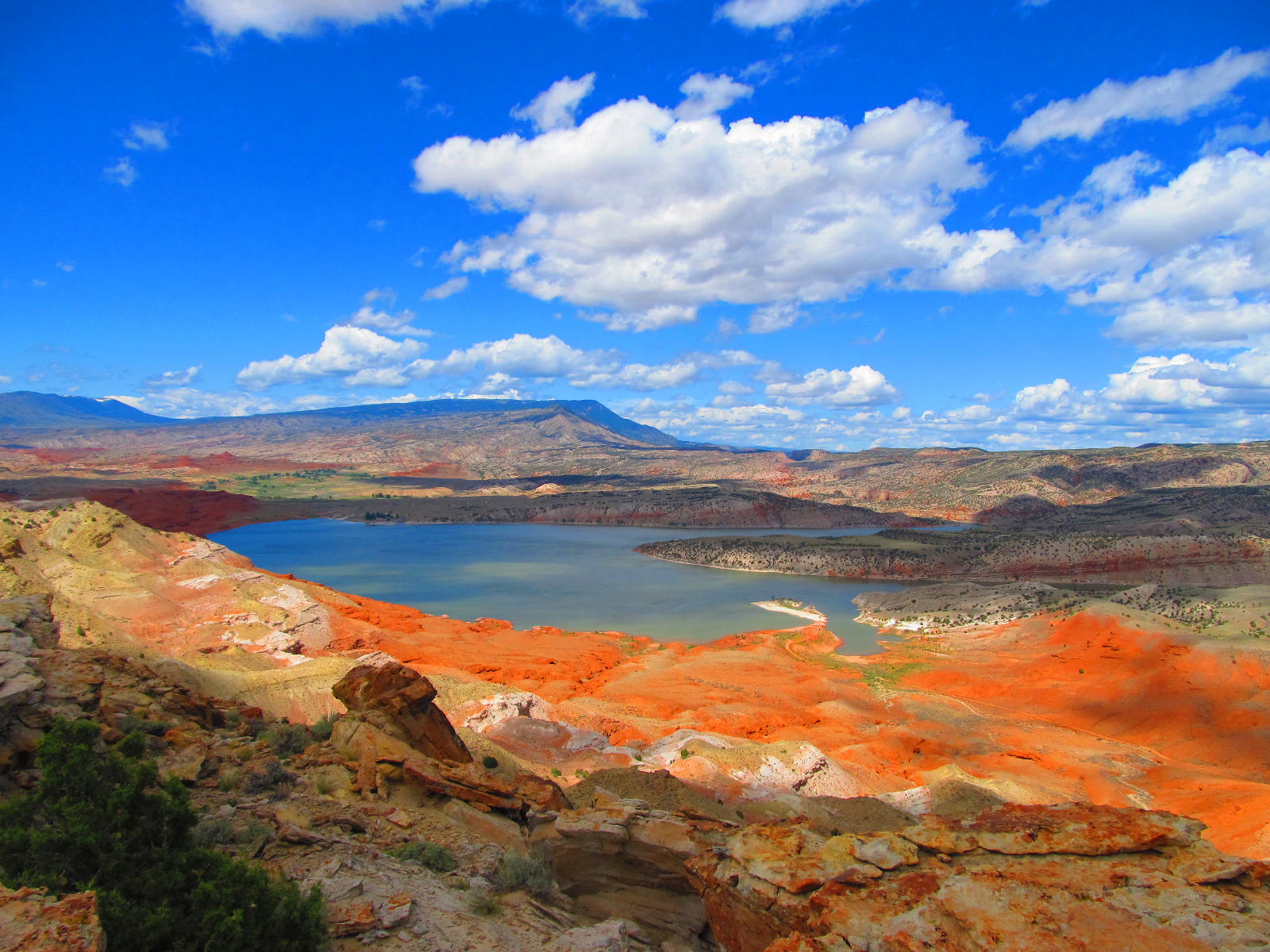
Sykes Mountain Trail: Hard, 4.6 Miles Round Trip with 1,380 feet elevation gain Sykes Mountain Trail is a rugged hike up a desert mountain that directs the hardy hiker to overlooks of Bighorn Canyon and Horseshoe Bend. This is a favorite hike for many but is less enjoyable du…
Beaver Pond Nature Trail
~40 min drive
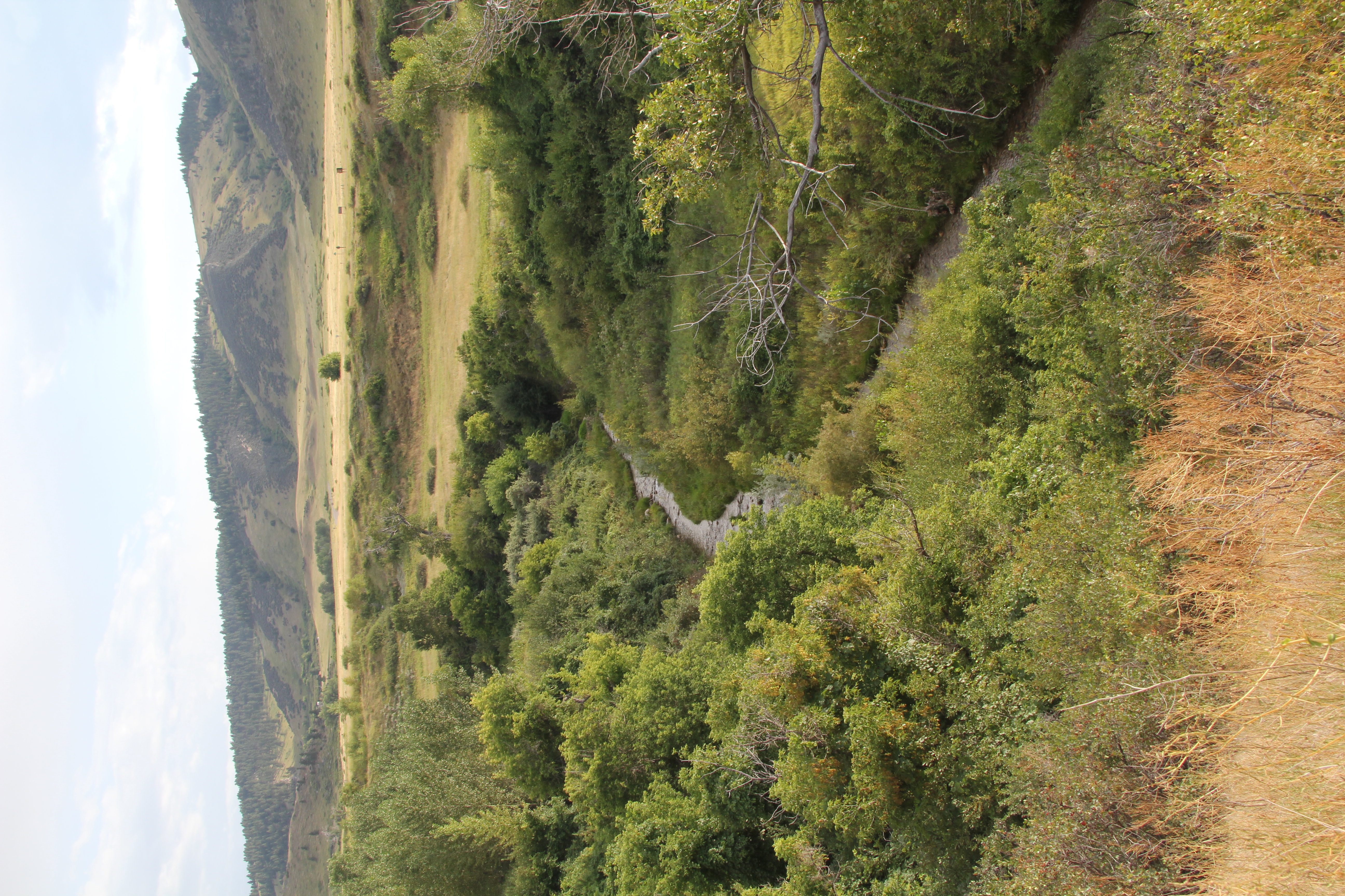
Beaver Pond NatureTrail: Moderate, 2.6 Mile Round Trip Begin hiking at the west end of the sidewalk at the Afterbay Contact Station. Travel across the yucca flats to the ridge above Lime Kiln Creek. Below, the creek is covered with gnawed trees and other building materials. T…
Upper Layout Creek Trail
~1 min drive
Upper Layout Creek Trail: Hard, 1.8 Miles Round Trip 780 feet elevation gain Erastus T. Ewing came to Bighorn Canyon looking for gold. Finding none he decided to try his hand at ranching. He knew that to make it in this arid land he would need water. In 1897, he filed to appr…