Loading trail…

Upper Slough Trailhead (2N4)
Free — you'll pick up right here.
Watch this trail
Sign up to watch it — saving subscribes you to gate, closure and report changes.
Montana
We won't guess. Here is exactly what we do and don't know.
What we do know
Inside Yellowstone National Park
National Park unit boundary is mapped — agency alerts for it feed this page automatically.
Boundary data
What's missing
No access route mapped
We don't yet know which road reaches this trailhead, so we can't tell you if it's gated.
Nobody's filed a report here yet — be the first.
Upper Slough Trailhead (2N4)
AI-suggested draft · review before you go
No elevation data on file for this trail.
This is a remote trailhead at the northern boundary of the park that is not accessible by road. From this trailhead, you can embark on the following trail within the park: Slough Creek Trail
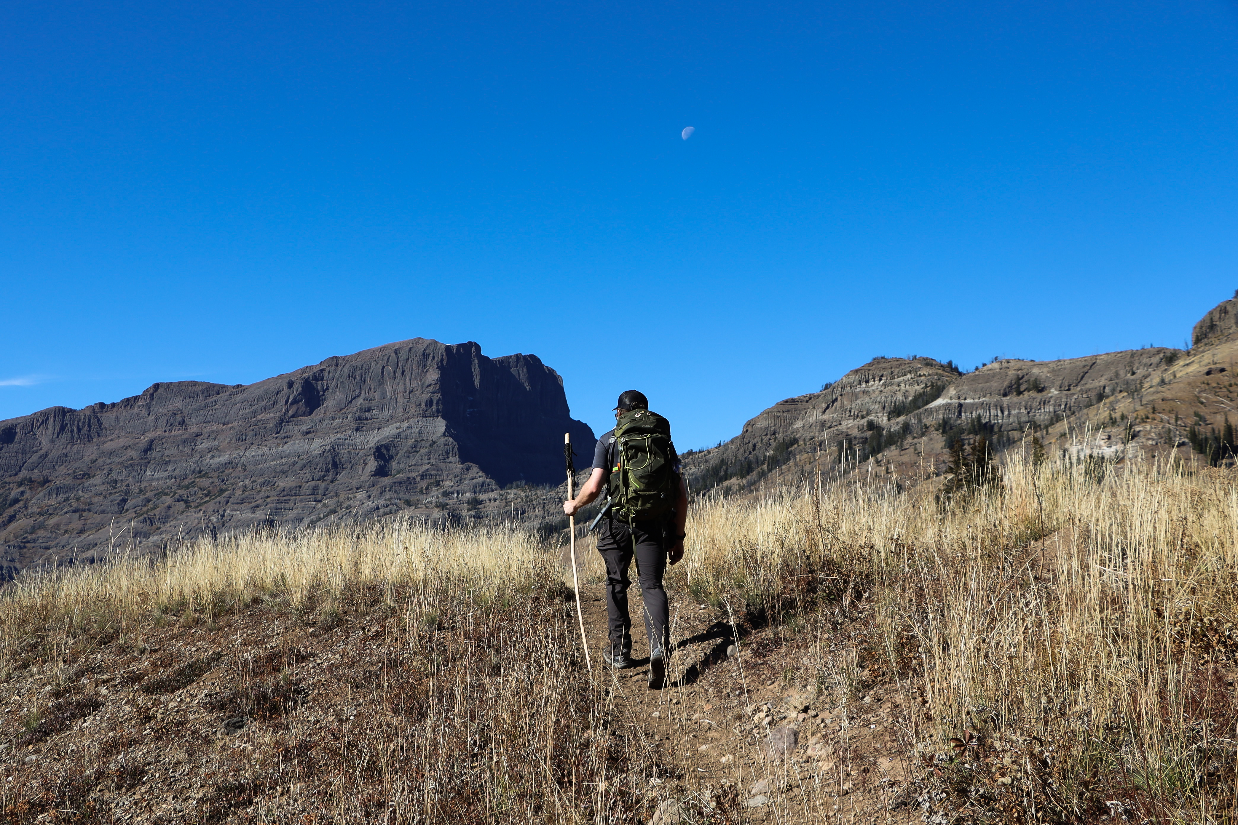
Warm Creek Trailhead (3K4)
~12 min drive
From this trailhead you can embark on the following trail: Pebble Creek Trail Parking is available at the trailhead. Vault toilets are available nearby at the Warm Creek Picnic Area. Pebble Creek Trail A 12-mile (19-km) strenuous, one-way hike that begins at the Pebble Cre…
Pebble Creek Trailhead (3K2)
~15 min drive
From this trailhead you can embark of the following trail: Pebble Creek Trail There is limited parking at the trailhead. Additional parking and vault toilets are located at the Pebble Creek Campground. Pebble Creek Trail A 12-mile (19-km) strenuous, one-way hike that begin…
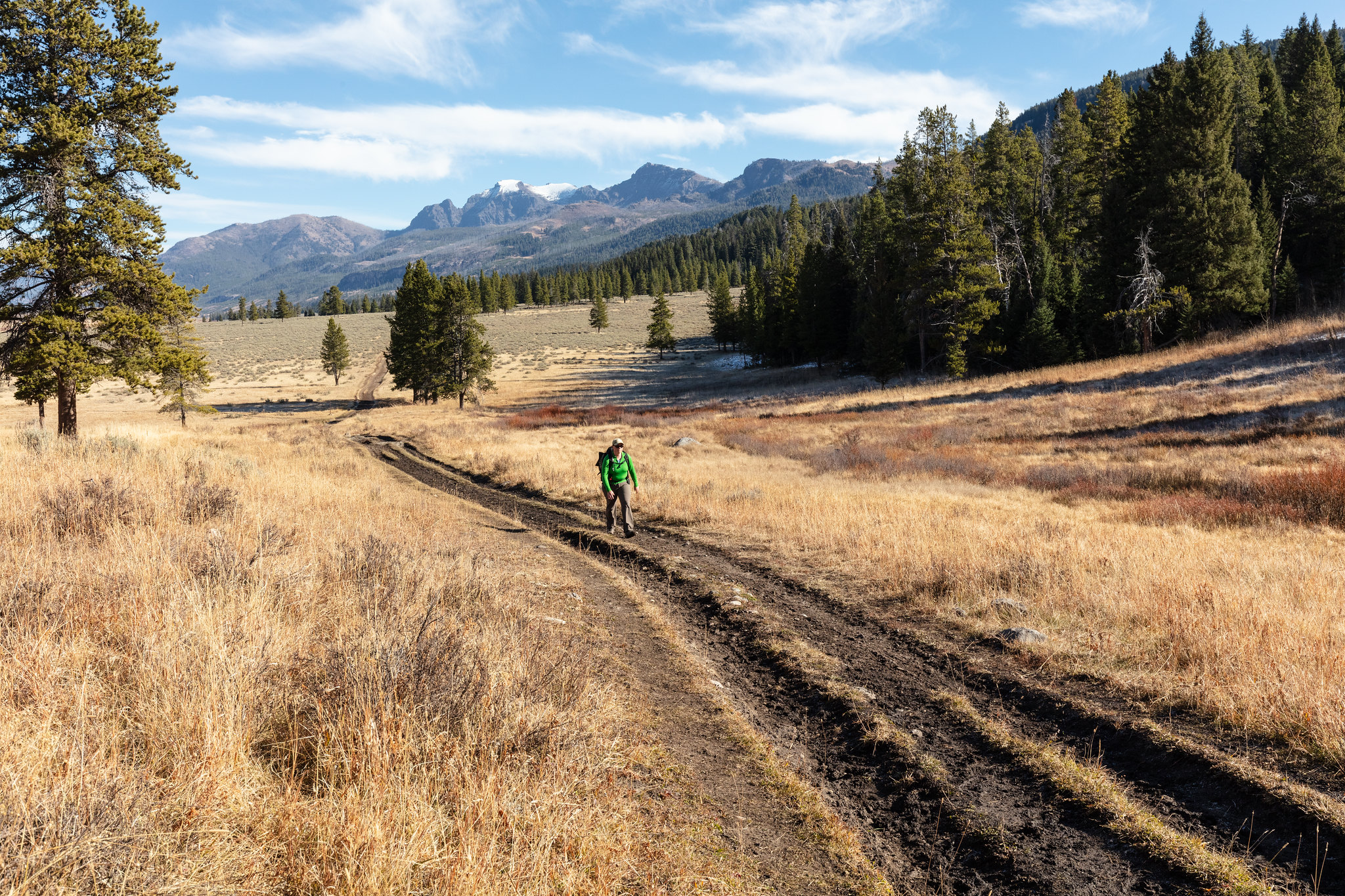
Slough Creek Trailhead (2K5)
~15 min drive
From the Slough Creek Trailhead you can embark on the following trail: - Slough Creek Trail There is abundant parking, including a parking area for horse trailers. This is a popular trail. During the winter, the gravel road is closed to vehicles. Park in the parking area just…
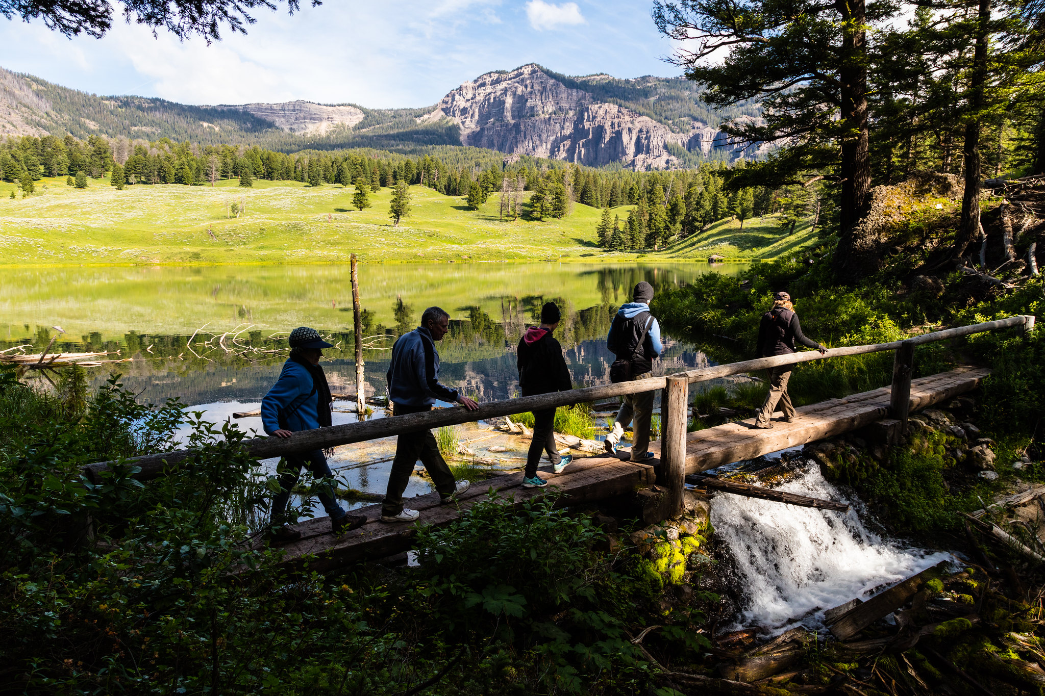
Trout Lake Trailhead
~16 min drive
From this trailhead you can embark on this trail: Trout Lake Trail Parking is available at the trailhead. However, this is a popular hike, so parking can be limited. Trout Lake Trail This is a moderately steep 1.2-mile (1.9-km) lollipop loop trail that begins and ends at t…
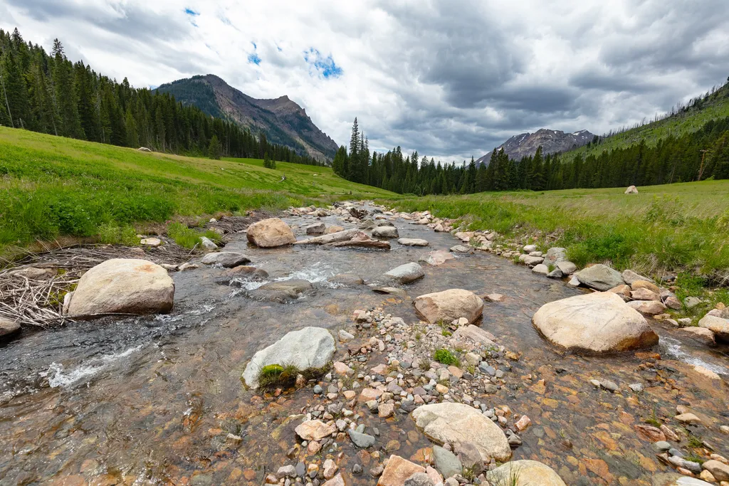
Soda Butte Creek
~18 min drive
<p>Soda Butte Creek is located near the park boundary, approximately 5 miles (8 km) downstream of the former location of the McLaren Mine. It joins the Lamar River it flows across the northern range to the outflow of Yellowstone Lake.</p> <p>As a result of metal contamination…
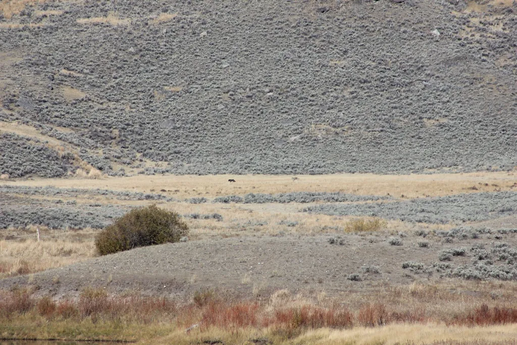
Lamar River Bridge
~18 min drive
<p>At first, travel to and within the park was difficult. Visitors had to transport themselves or pay a costly transportation company.</p> <p>In the park, there were only a few places for food and lodging. Access improved in 1883 when the Northern Pacific Railroad reached Cinn…
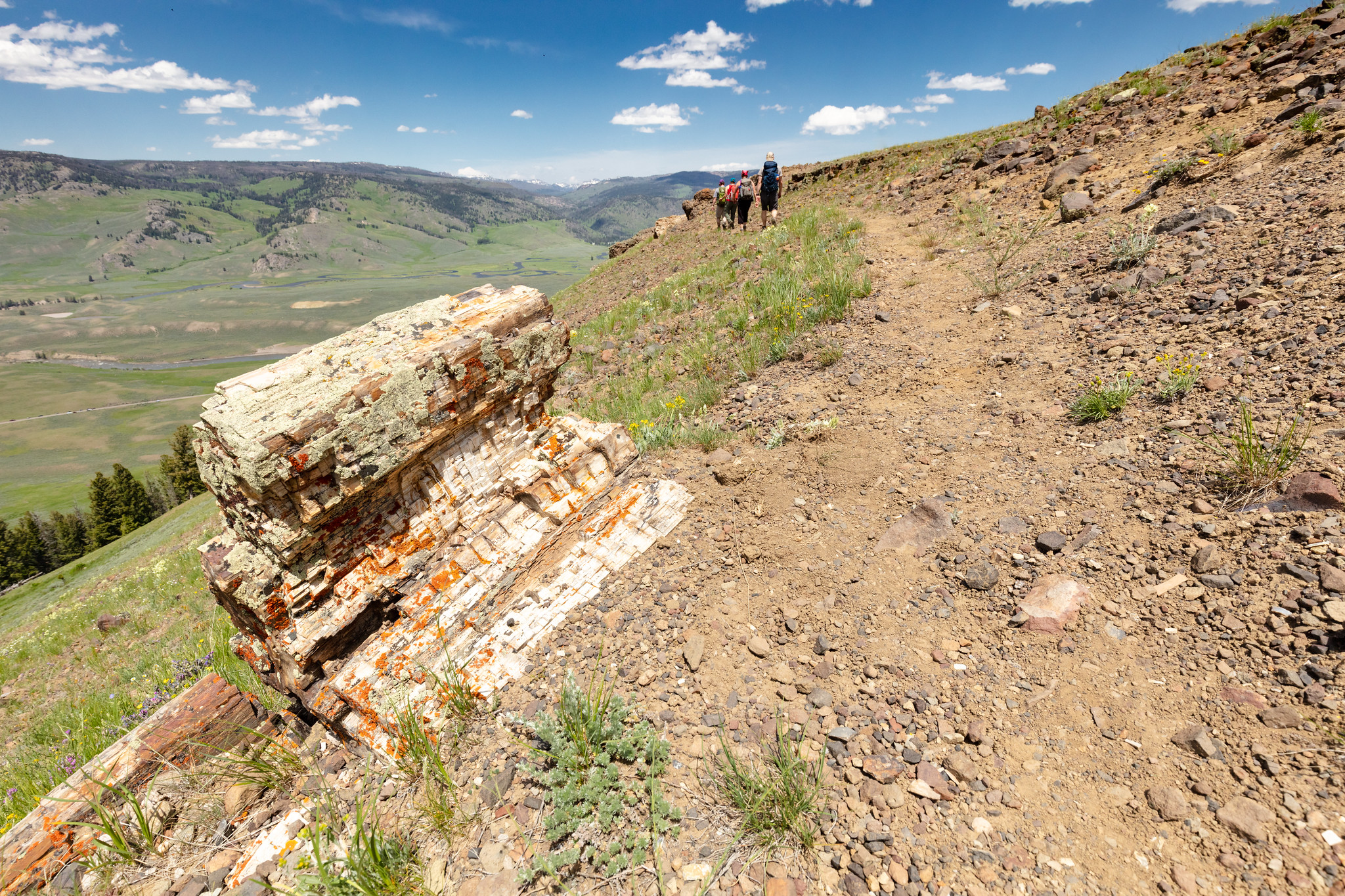
Specimen Ridge Day Hike / Fossil Forest Trailhead
~19 min drive
This trailhead only has access to the there-and-back Specimen Ridge Day Hike / Fossil Forest Trail. If you are looking for the Specimen Ridge Trail, that trailhead is about four miles west along the main road. There is limited parking at the trailhead. Specimen Ridge Day Hike…
Anderson Ridge
~1 min drive
7.5 mi · Moderate
Tucker Creek
~2 min drive
2.2 mi · Easy
Slough Creek
~8 min drive
24 mi · Hard
Also worth it near here