Loading trail…

Cactus Wren Trail, Access Point 3
Free — you'll pick up right here.
Watch this trail
Sign up to watch it — saving subscribes you to gate, closure and report changes.
Arizona
We won't guess. Here is exactly what we do and don't know.
What we do know
Inside Saguaro National Park
National Park unit boundary is mapped — agency alerts for it feed this page automatically.
Boundary data
What's missing
No access route mapped
We don't yet know which road reaches this trailhead, so we can't tell you if it's gated.
Nobody's filed a report here yet — be the first.
Cactus Wren Trail, Access Point 3
AI-suggested draft · review before you go
No elevation data on file for this trail.
Cactus Wren Trail traverses 1.8 miles south to the Signal Hill Picnic Area. This trail passes many large Saguaro cacti, along with many other desert plants and possible animals. This trail makes a great wildlife viewing are and/or sunset hike. The trail can be found just north on the Signal Hill Trail, or by using the Access Point 3 along Rudasill Road just east of Sandario Road.
Signal Hill (West District)
~3 min drive
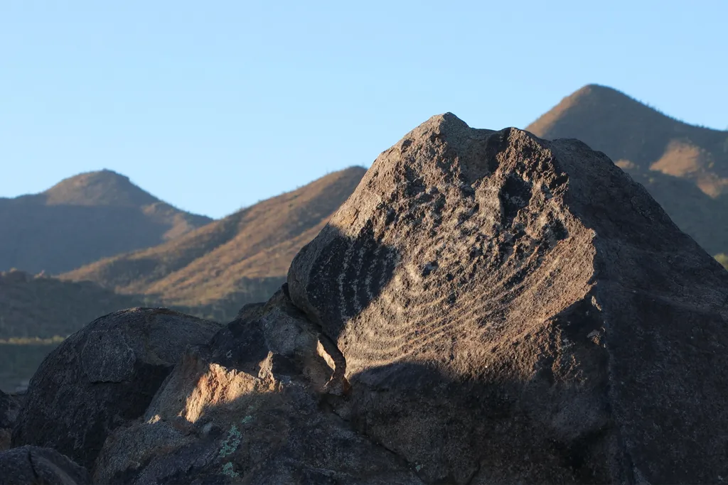
Signal Hill is a popular multi-use area along the Bajada Loop Drive in Saguaro National Park's west district. This is a popular destination, as it is the best place to see petroglyphs within the park. There are trails that start from this destination, as well as a picnic area.…
Javelina Wash Trail
~7 min drive
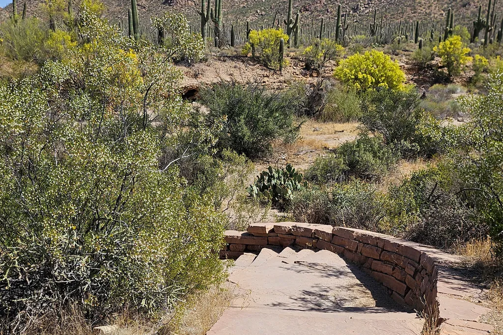
A 600-yard loop trail through the wash behind the Red Hills Visitor Center, looping through the wash from one end of the building to the other. Flat, but sandy and rocky, with stairs at either end. Follow the self-guided "Signs of Life in the Desert" tour under Self-Guided To…
Desert Winds Trail, Access Point 2
~1 min drive
Access to the park's trail system via the Deset Winds Trail (1.3mi one way). This flat trail meanders through Sonoran Desert scrubland, past some residential houses, leading east into the park across Sandario Road. A great location for birding, wildlife sighting, and sunset wa…
Valley View Overlook Nature Trail
~5 min drive
The Valley View Overlook Nature Trail is an easy 0.8 mile (1.3 km) roundtrip trail, starting at the Valley View Trailhead along the Bajada Loop Scenic Drive in Saguaro National Park's west district. This short trail was built by the Civilian Conservation Corps in the 1930s. T…
Valley View Trail
~5 min drive
0.8 mi · Easy
Sus Picnic Area (West District)
~5 min drive
This is the closest picnic area to the Red Hills Visitor Center in the west district of Saguaro National Park. It is along the Bajada Loop Drive.
Hugh Norris Big Loop
~5 min drive
6.8 mi · Hard
Ez-Kim-In-Zin Picnic Area (West District)
~6 min drive
This picnic area is located along the Bajada Loop Drive in Saguaro National Park's West District. It is located near the Sendero Esperanza Trailhead.
Sendero Esperanza Picnic Area (West District)
~6 min drive
Sendera Esperanza Picnic Area is the last stop along Golden Gate Road on the Bajada Loop Drive. THis picnic area provides visitors with a large parking area (big enough for RVs and busses to use to turn around at), unshaded and wheelchair accessible picnic tables, a restroom,…
Desert Discovery Trail
~6 min drive
The Desert Discovery Trail is an easy, paved, accessible, 0.5 mile (0.8 km) trail in Saguaro National Park's west district. The trailhead is located along Kinney Road, 1 mile (1.6 km) northwest from the Red Hills Visitor Center. Interpretive signage along the trail provides a…