Loading trail…

Mile-and-a-Half Resthouse
Free — you'll pick up right here.
Watch this trail
Sign up to watch it — saving subscribes you to gate, closure and report changes.
Arizona
We won't guess. Here is exactly what we do and don't know.
What we do know
Inside Grand Canyon National Park
National Park unit boundary is mapped — agency alerts for it feed this page automatically.
Boundary data
What's missing
No access route mapped
We don't yet know which road reaches this trailhead, so we can't tell you if it's gated.
Nobody's filed a report here yet — be the first.
Mile-and-a-Half Resthouse
AI-suggested draft · review before you go
No elevation data on file for this trail.
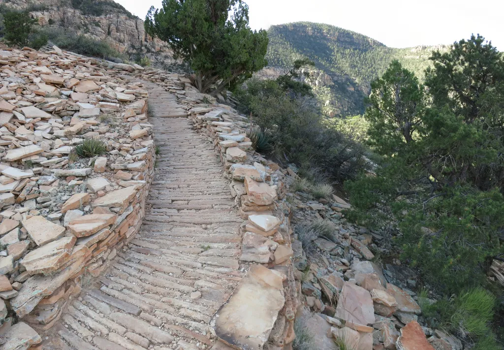
This popular day-hike destination on the Bright Angel Trail provides relief from the weather and extremes of all seasons, be it the summer heat or storms in the winter and spring. Vault toilets are available year-round. During the summer months, a water filling station at the resthouse provides potable water. An emergency telephone is located in the resthouse with a direct line to Park Dispatch in case of emergencies on the trail. Know Before You Go Before heading down into the canyon, consult the signs at the trailhead, and scan the QR code for trip planning, current weather, water availability, and trail information/closures. (or visit our Key Hiking Messages webpage). Trail Reopenings and Current Closures (Updated August 20, 2025) Bright Angel Trail is open from the Bright Angel Trailhead to Pipe Creek Resthouse. South Kaibab Trail is open from the South Kaibab Trailhead to the Tipoff. Tonto Trail is open from the Tipoff to Havasupai Gardens. The River Trail from Pipe Creek to the South Kaibab Trail junction remains closed through October 31, 2025, due to ongoing construction on the Transcanyon Waterline Project. This segment is expected to reopen on November 1, 2025. The Silver Bridge will remain closed through November 26, 2025. On November 1, 2025, Phantom Ranch and Bright Angel Campground are tentatively expected to reopen to the public. North Kaibab Trail remains closed for the foreseeable future due to post-fire impacts. Extensive maintenance is required to address rockslides and make necessary structural modifications before it can safely reopen. Highway 67 to the North Rim will also remain closed for the foreseeable future due to impacts from the Dragon Bravo Fire. Just over 1,100 feet (335 m) below Grand Canyon's rim, this first rest area offers visitors a taste of the struggles and rewards Grand Canyon's steep trails present. For most visitors, the 3-mile (4.8 km) round-trip hike from the South Rim requires a 2-4 hour commitment depending on health, hiking ability, and rest stops. Trail Information Roundtrip Distance: 3 miles (4.8 km) Elevation change: 1,120 feet (340 m) Average Hiking Time: 2-4 hours Hike Smart Make a Plan Once you have researched your trip and are confident in what to expect on the trail, leave your itinerary with someone who will notice if you are overdue and report it to 911. Check the Weather Summer temperatures in the shade routinely pass 100°F (38°C). Avoid hiking between 10 am and 4 pm, the hottest times of day. From July to September, monsoons can build large, violent lightning storms. Seek shelter immediately. In winter and early spring, temperatures can drop below 32°F (0°C) and upper portions of this steep trail become dangerously icy. Hard ice often conceals potentially hazardous passages. Over-the-shoe traction devices are highly recommended. Pack Properly It is critical to determine before your hike your needs for fluids and for snacks high in calories and salts. Consuming twice as many calories as during normal exercise is realistic for summer canyon hikes. The hike out of the canyon will likely take twice as long as the hike down. Wearing sun hats and cool, wet clothing will help regulate your core body temperature during warmer hikes. Energy Balance Your body needs energy-balancing proper nutrition and hydration are critical to your hiking success! Eat and drink while resting-sip fluids only when thirsty. Too little water leads to dehydration and heat stroke. Excessive hydration and insufficient salt intake causes hyponatremia, a seizure-producing electrolyte disorder. If you do not feel well: seek shade, get wet, cool off, eat, and rest. Turning around may be your best option.
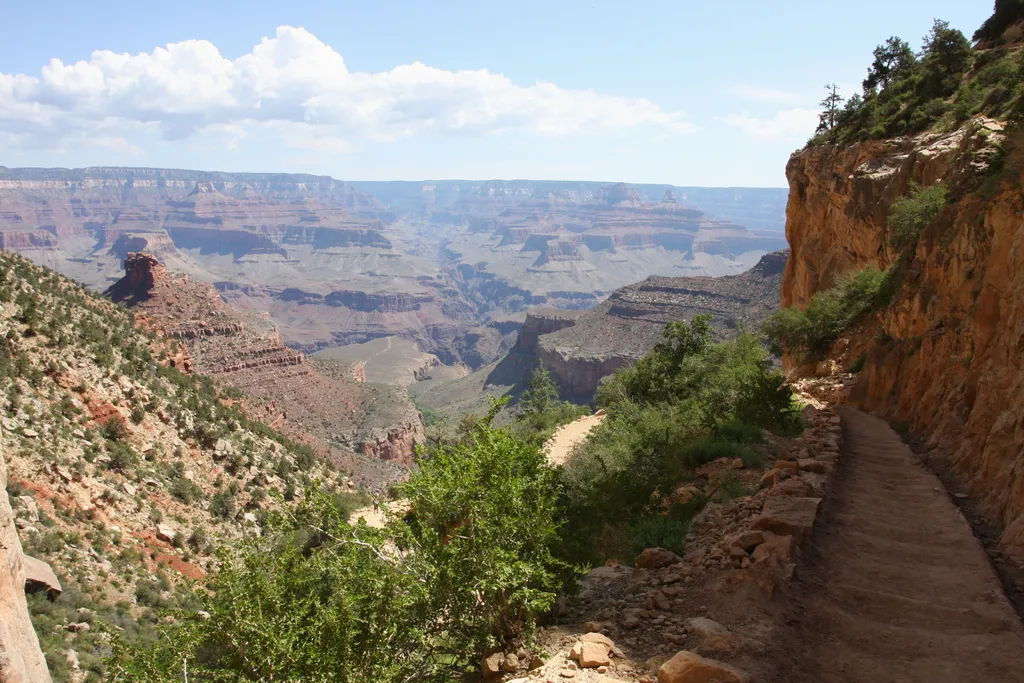
Bright Angel Trail
~1 min drive
The most popular hiking trail into Grand Canyon, the Bright Angel Trail lets hikers walk in the footsteps of the canyon's Indigenous peoples, miners, and early tourists, as they descend into the canyon's depths. Offering outstanding views, morning and afternoon shade, resthous…
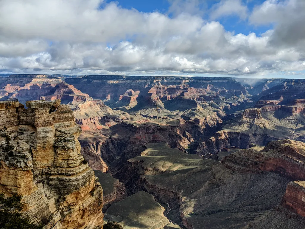
Rim Trail - Mather Point
~3 min drive
The Rim Trail is a mostly paved path that stretches roughly 13 miles (21 km) along the southern rim of Grand Canyon from South Kaibab Trailhead in the east to Hermits Rest in the west. Most people won't hike the whole trail in one go, but walking short sections of the rim can…
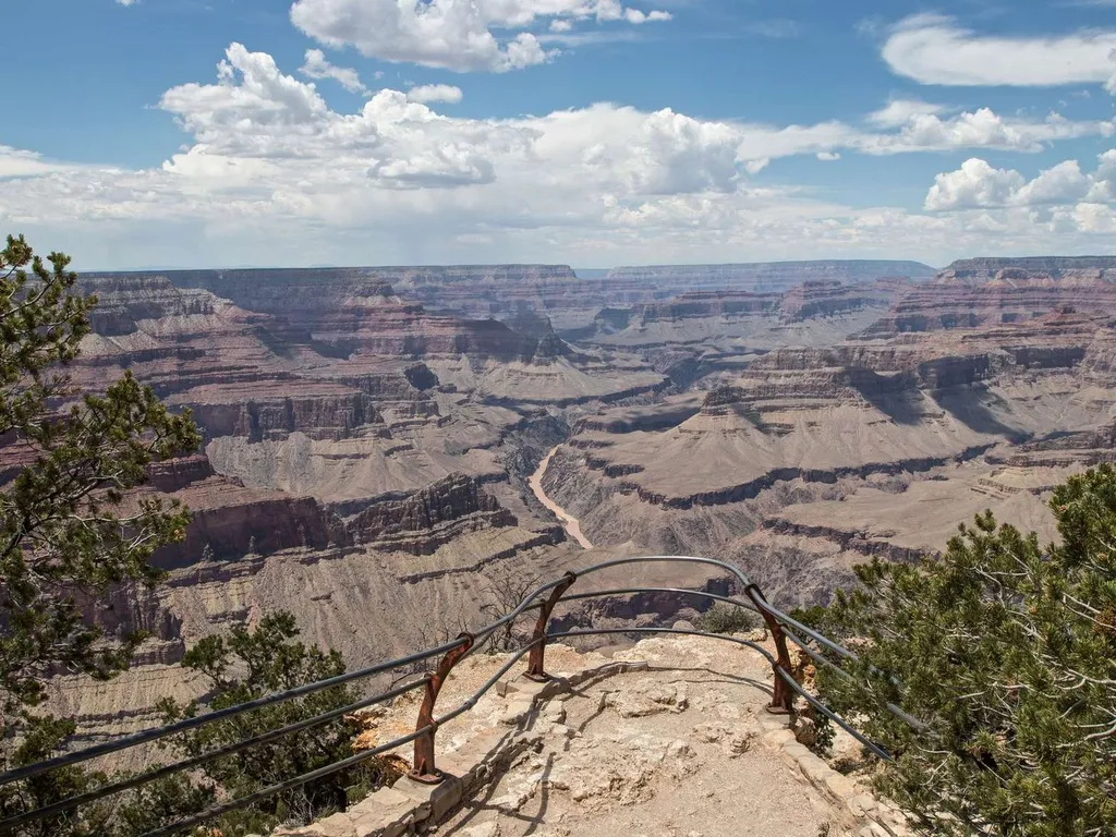
Mohave Point
~3 min drive
Another spectacular point for watching sunset, Mohave Point offers excellent views of the Colorado River deep in the canyon below. From here you can also see the Salt Creek, Granite, and Hermit rapids. Below this viewpoint, 'The Alligator' named by Emery Kolb points across th…
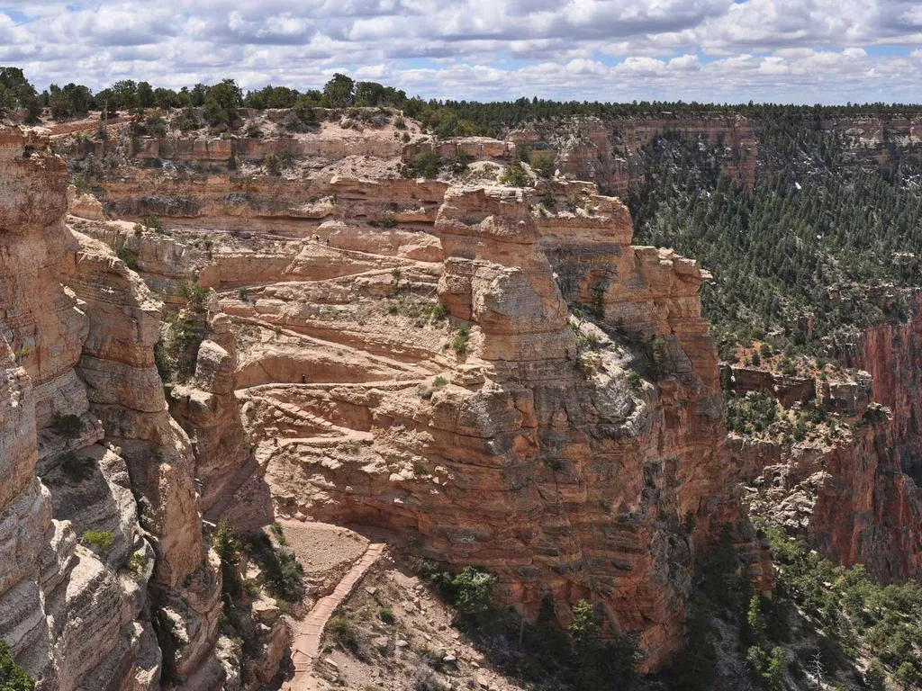
South Kaibab Trail
~5 min drive
Know Before You Go Before heading down into the canyon, consult the signs at the trailhead, and scan the QR code for trip planning, current weather, water availability, and trail information/closures. (or visit our Key Hiking Messages webpage). Trail Reopenings and Current C…
Hermit Trail Grand Canyon
~7 min drive
Louis D. Boucher, the "hermit" of Hermit Creek basin, lived in this area for 20 years. Boucher built the Boucher Trail (west of the Hermit Trail) and seasonal residences at Dripping Springs and near Boucher Creek. Though socially active in the South Rim community, residents la…
Trail of Time: Verkamp's Visitor Center Portal
~0 min drive
From the flagpole outside of Verkamp's Visitor Center, walk to the right along the rim trail and find the Trail of Time bronze markers embedded in the pavement. From the 2,000 million year marker, you can see the western entry portal for the Trail of Time. Walking east from Gr…
Grand Canyon's Rocks Are Incredibly Old
~1 min drive
Geologically speaking, Grand Canyon is considered to be a "young" feature, much of it having been eroded in just the last 5-6 million years. But the ages of Grand Canyon's rocks are a different matter entirely, spanning over 1.5 billion years of Earth's history. The oldest kno…
Stone Corral and Mule Power Exhibit
~1 min drive
Most of the day this simple small corral sits empty, but stop by early in the morning and you'll have a chance to see the chaos of wranglers, mules, and eager mule riders as everyone gets ready for a once in a lifetime trip into the depths of Grand Canyon for an overnight stay…
Hermit Road - Bus Transfer Station - Village (Blue) Route
~1 min drive
Nearby: Beginning of Hermit Road and (Red) Route Shuttle (Transfer Station) Canyon Rim Trail Bright Angel Trailhead Kolb Studio This is one of the busiest shuttle stops in the park, located on the west end of the Village Historic District. This shuttle stop provides acce…
Village Greenway
~1 min drive
4.9 mi · Easy