Loading trail…

Free — you'll pick up right here.
Watch this trail
Sign up to watch it — saving subscribes you to gate, closure and report changes.
Colorado
2.3 mi
Distance
995 ft
Gain
We won't guess. Here is exactly what we do and don't know.
What we do know
Inside Grand Mesa, Uncompahgre and Gunnison National Forests
2 managing-area boundaries mapped — agency alerts for them feed this page automatically.
Boundary data
What's missing
No access route mapped
We don't yet know which road reaches this trailhead, so we can't tell you if it's gated.
Nobody's filed a report here yet — be the first.
Why you'll love it
Alpine Mine
AI-suggested draft · review before you go
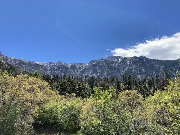
Alpine Mine is a 2.4-mile out-and-back trail located near Colorado in Routt National Forest's Yampa Ranger District. The route features 995 feet of elevation gain, making it a moderately challenging hike suitable for those seeking a cardiovascular workout in a compact distance. The trail takes hikers through the Routt National Forest landscape, with the out-and-back format allowing visitors to turn around at the mine site and return via the same route. The elevation gain is distributed across the 1.2-mile approach, providing steady climbing throughout the first half of the journey. This trail is managed by the Yampa Ranger District, which maintains the route as part of the Routt National Forest system. The relatively short distance combined with substantial elevation gain makes Alpine Mine an efficient option for hikers looking to gain elevation quickly while exploring the forest's natural and historic features.

Twin Peaks
~4 min drive
2.1 mi · Easy
Oak Creek Trail
~5 min drive
6.5 mi · Expert

Mears
~6 min drive
3.5 mi · Easy

Portland Trail
~6 min drive
3.0 mi · Moderate
Corbett
~6 min drive
5.2 mi · Hard

Full Moon
~7 min drive
5.4 mi · Expert

Liberty Bell
~11 min drive
4.0 mi · Hard

Silver Lake
~11 min drive
2.0 mi · Easy
Weehawken
~1 min drive
4.6 mi · Hard
Sutton - Neosho
~4 min drive
3.9 mi · Moderate