Loading trail…

Free — you'll pick up right here.
Watch this trail
Sign up to watch it — saving subscribes you to gate, closure and report changes.
Colorado
2.1 mi
Distance
1,910 ft
Gain
We won't guess. Here is exactly what we do and don't know.
What we do know
Inside Grand Mesa, Uncompahgre and Gunnison National Forests
2 managing-area boundaries mapped — agency alerts for them feed this page automatically.
Boundary data
What's missing
No access route mapped
We don't yet know which road reaches this trailhead, so we can't tell you if it's gated.
Nobody's filed a report here yet — be the first.
Why you'll love it
Twin Peaks
AI-suggested draft · review before you go
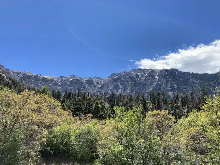
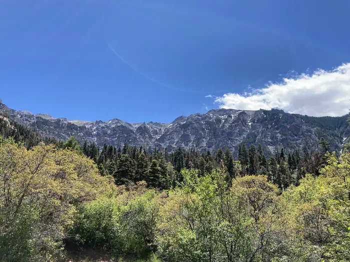
Twin Peaks is a challenging 2.1-mile loop trail located in Colorado that gains 1,910 feet of elevation. The steep ascent makes this a demanding hike suitable for experienced hikers seeking a rigorous workout in a compact distance. The route's significant elevation gain relative to its short length creates an intense cardiovascular challenge with sustained climbing throughout much of the trail. The loop format allows hikers to experience varied terrain and scenery without retracing their steps, though the return descent on alternate terrain can be equally taxing on the knees and joints. The trail's high elevation gain concentrated into less than two and a quarter miles means hikers should come prepared with adequate water, proper footwear, and realistic expectations about hiking time and difficulty. Best conditions typically occur from late spring through early fall when snow has melted and the trail is fully accessible. Winter travel is not recommended due to avalanche risk and challenging snow conditions at this elevation. The trail's compact distance and high intensity make it ideal for hikers looking to maximize elevation gain in a shorter timeframe.

Oak Creek Trail
~2 min drive
6.5 mi · Expert
Corbett
~3 min drive
5.2 mi · Hard

Portland Trail
~3 min drive
3.0 mi · Moderate

Alpine Mine
~4 min drive
2.3 mi · Moderate

Difficulty Creek Trail
~8 min drive
7.7 mi · Moderate
Cutler Creek Trail
~8 min drive
7.6 mi · Easy

Mears
~8 min drive
3.5 mi · Easy

Full Moon
~10 min drive
5.4 mi · Expert
Silvershield Trail
~1 min drive
4.2 mi · Moderate
Sutton - Neosho
~2 min drive
3.9 mi · Moderate