Loading trail…

Free — you'll pick up right here.
Watch this trail
Sign up to watch it — saving subscribes you to gate, closure and report changes.
Colorado
46.0 mi
Distance
3,948 ft
Gain
We won't guess. Here is exactly what we do and don't know.
What we do know
Inside Pike and San Isabel National Forests
2 managing-area boundaries mapped — agency alerts for them feed this page automatically.
Boundary data
What's missing
No access route mapped
We don't yet know which road reaches this trailhead, so we can't tell you if it's gated.
Nobody's filed a report here yet — be the first.
Why you'll love it
Colorado Trail Seg. 13 North Cottonwood Creek Road to Chalk Creek Trailhead
AI-suggested draft · review before you go
No permit or access details on file for this trail — check with the local land manager before you go.
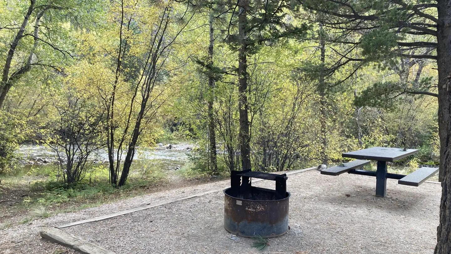
Colorado Trail Segment 13 stretches 23.0 miles from North Cottonwood Creek Road to Chalk Creek Trailhead near Colorado. This out-and-back route features 3,948 feet of elevation gain, offering a moderate to strenuous hiking experience through federal wilderness. The trail traverses varied terrain across federally managed land, providing hikers with exposure to the region's natural landscape and mountain environment. This segment is part of the larger Colorado Trail system, a well-established route that connects multiple trailheads across the state. The substantial elevation gain over the 23-mile distance requires solid fitness preparation and allows hikers to experience significant changes in scenery and vegetation zones. The out-and-back format gives hikers flexibility to turn around at any point if conditions or energy levels warrant modification of their plans. The federal management ensures maintained trail conditions and access to these public lands. This segment appeals to hikers seeking a longer day hike or multi-day backpacking option with considerable elevation gain and views of Colorado's mountain terrain.

Cascade Creek Trail
~3 min drive
0.9 mi · Easy

Colorado Trail Seg. 14 Chalk Creek Trailhead to US-50
~20 min drive
40 mi · Expert

Three Elk
~21 min drive
6.2 mi · Hard

Lost Lake
~22 min drive
3.5 mi · Easy
Bunny's Trail
~22 min drive
1.7 mi · Moderate

Midland Bike Trail
~25 min drive
39 mi · Expert

Waterloo Gulch
~27 min drive
6.9 mi · Expert

CDT in-xx Misc Old Route Alternates
~29 min drive
63 mi · Expert
Narrow Gauge
~1 min drive
4.4 mi · Easy
Mount Princeton
~3 min drive
Standard route to Mount Princeton (14,204 ft) from Mt. Princeton Road.