Loading trail…

Free — you'll pick up right here.
Watch this trail
Sign up to watch it — saving subscribes you to gate, closure and report changes.
Colorado
63.3 mi
Distance
1,745 ft
Gain
We won't guess. Here is exactly what we do and don't know.
What we do know
Inside Pike and San Isabel National Forests
2 managing-area boundaries mapped — agency alerts for them feed this page automatically.
Boundary data
Access via US 50: Monarch Pass
Road status feeds from the state DOT 511 network.
State DOT 511 · 15 d ago
Nobody's filed a report here yet — be the first.
Why you'll love it
CDT in-xx Misc Old Route Alternates
AI-suggested draft · review before you go
No permit or access details on file for this trail — check with the local land manager before you go.
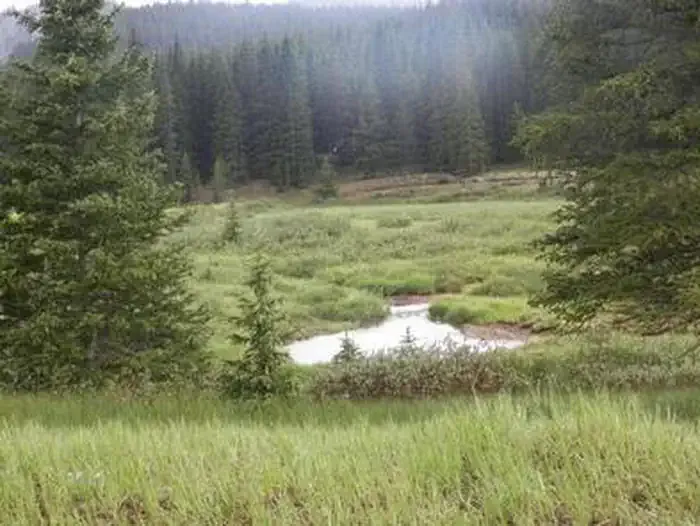
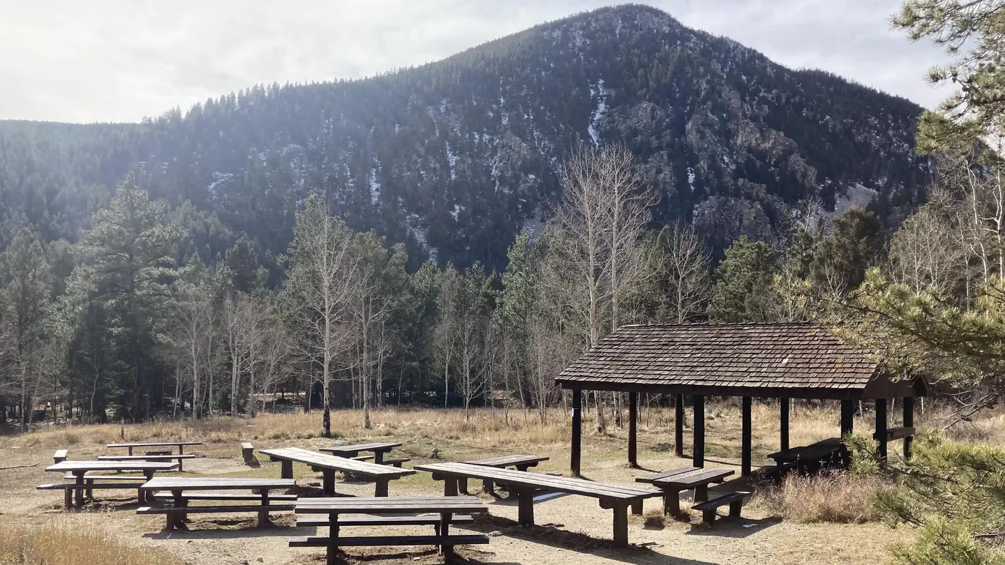
The CDT in-xx Misc Old Route Alternates is a 31.6-mile out-and-back trail located in Colorado. This route features 1,745 feet of elevation gain, making it a moderately challenging trek for hikers seeking an alternative path along the Continental Divide Trail system. The trail traverses through remote backcountry terrain characteristic of Colorado's high country. As an alternate route on the CDT, this option provides an opportunity to explore less-traveled sections of the iconic long-distance trail while still maintaining the scenic vistas and wilderness experience the Continental Divide Trail is known for. The out-and-back format means hikers will return via the same route, allowing flexibility to turn back at any point based on time, fitness, or weather conditions. The elevation profile suggests a steady climb with significant cumulative gain, requiring preparation for high-altitude hiking. This route is ideal for experienced hikers comfortable with backcountry navigation and self-sufficiency. The relatively modest elevation gain per mile indicates a gradual grade rather than steep pitches, making it accessible to those with solid endurance. Weather conditions can change rapidly at elevation, so proper gear and preparation are essential for any season.

Colorado Trail Seg. 14 Chalk Creek Trailhead to US-50
~10 min drive
40 mi · Expert

Waunita Short Cut Sno
~21 min drive
2.0 mi · Easy
Waunita Pass Sno
~21 min drive
18 mi · Expert

Cascade Creek Trail
~27 min drive
0.9 mi · Easy
Colorado Trail Seg. 13 North Cottonwood Creek Road to Chalk Creek Trailhead
~29 min drive
46 mi · Expert

Flagstaff
~29 min drive
6.8 mi · Expert

Mill Lake
~29 min drive
3.3 mi · Moderate
Elk Horn
~31 min drive
6.8 mi · Expert
Waterdog Lakes
~4 min drive
3.2 mi · Easy
Collegiate East
~7 min drive
155 mi · Expert