Loading trail…

Free — you'll pick up right here.
Watch this trail
Sign up to watch it — saving subscribes you to gate, closure and report changes.
Colorado
29.6 mi
Distance
2,455 ft
Gain
We won't guess. Here is exactly what we do and don't know.
What we do know
Inside Pike and San Isabel National Forests
2 managing-area boundaries mapped — agency alerts for them feed this page automatically.
Boundary data
What's missing
No access route mapped
We don't yet know which road reaches this trailhead, so we can't tell you if it's gated.
Nobody's filed a report here yet — be the first.
Why you'll love it
Colorado Trail Seg. 9 Tennessee Pass to Hagerman Pass Road
AI-suggested draft · review before you go
No permit or access details on file for this trail — check with the local land manager before you go.
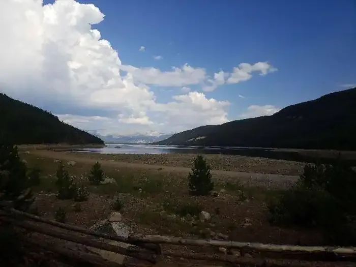
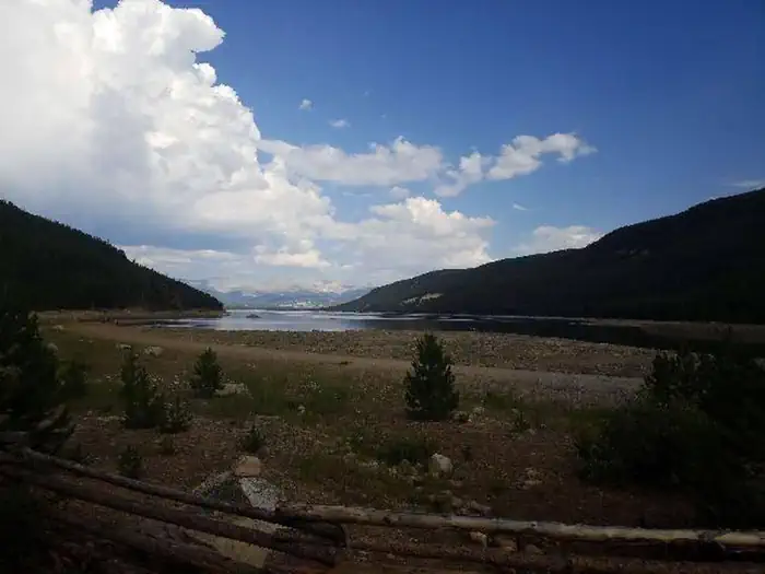
Colorado Trail Segment 9 stretches 14.8 miles from Tennessee Pass to Hagerman Pass Road in central Colorado. This out-and-back route features 2,455 feet of elevation gain, offering a moderately challenging day hike or backpacking option for intermediate to advanced hikers. The trail traverses federal land managed by a federal agency, passing through high alpine terrain characteristic of Colorado's Continental Divide region. Starting at Tennessee Pass, the route climbs steadily through subalpine forest before breaking into open tundra as elevation increases. Hikers can expect rocky, exposed terrain at higher elevations with panoramic views of surrounding peaks. This segment is part of the larger Colorado Trail system, which spans nearly 500 miles across the state. The high elevation and exposed ridge sections make this trail susceptible to weather changes, particularly afternoon thunderstorms common in summer months. Snow can linger into early summer at higher elevations. Water sources and trail conditions vary seasonally, so current conditions should be checked before departure. The out-and-back format allows hikers flexibility to turn back at any point based on time, weather, and fitness level. Best hiking season runs from mid-July through September.

Swamp Lake
~5 min drive
3.8 mi · Moderate

Rock Creek
~7 min drive
6.2 mi · Moderate

Fallen Tree
~7 min drive
2.3 mi · Easy

Rift
~8 min drive
1.9 mi · Easy
Bodfish
~8 min drive
2.8 mi · Easy

South Willow Creek
~10 min drive
2.5 mi · Moderate

Granite Lake
~14 min drive
11 mi · Moderate

Powderhound
~16 min drive
3.6 mi · Easy

Mitchell Creek Old Railroad
~16 min drive
1.4 mi · Easy

Cross Creek
~17 min drive
7.4 mi · Expert