Loading trail…

Free — you'll pick up right here.
Watch this trail
Sign up to watch it — saving subscribes you to gate, closure and report changes.
Colorado
14.7 mi
Distance
6,798 ft
Gain
No agency boundary, access route or field report is mapped to it — so there is no verdict, and we won't guess. We'll tell you the moment this trail has something to say.
Nobody's filed a report here yet — be the first.
Why you'll love it
Garner
AI-suggested draft · review before you go
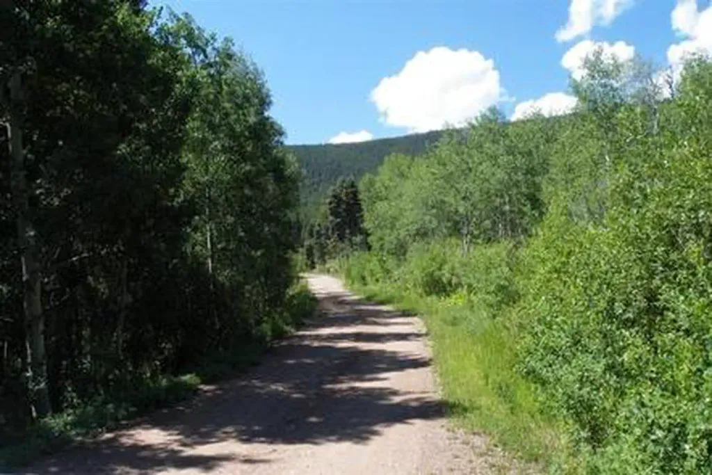
The Garner Trail is a 14.6-mile out-and-back route located in Colorado near the town of Colorado, managed by the Gunnison National Forest's Ouray Ranger District. The trail features significant elevation gain of 6,798 feet, making it a challenging option for experienced hikers seeking substantial vertical relief. This out-and-back format allows hikers to turn around at any point, providing flexibility for those wanting to hike less than the full distance. The steep elevation gain concentrated over the 14.6-mile distance indicates a demanding ascent with consistent climbing throughout the route. The trail is situated within GMUG National Forest lands, which offer access to the natural landscapes of southwestern Colorado. The Ouray Ranger District manages the trail, ensuring maintenance and upkeep of this hiking resource. Hikers should prepare for the significant elevation gain and bring adequate water and supplies. The out-and-back nature means you'll retrace your steps on the return descent, making proper footwear and physical conditioning important considerations before attempting this trail.

Hot Springs
~2 min drive
2.4 mi · Moderate

Rainbow Trail
~16 min drive
72 mi · Expert

Comanche
~22 min drive
8.8 mi · Expert
Major
~5 min drive
14 mi · Expert
Black Canyon
~5 min drive
16 mi · Moderate
Cotton
~6 min drive
26 mi · Hard
Steel Canyon
~9 min drive
4.2 mi · Hard
Horsethief Basin
~9 min drive
9.3 mi · Expert
Silver Lake
~9 min drive
1.0 mi · Easy
Wild Cherry
~10 min drive
11 mi · Moderate