Loading trail…

Free — you'll pick up right here.
Watch this trail
Sign up to watch it — saving subscribes you to gate, closure and report changes.
Colorado
2.4 mi
Distance
882 ft
Gain
No agency boundary, access route or field report is mapped to it — so there is no verdict, and we won't guess. We'll tell you the moment this trail has something to say.
Nobody's filed a report here yet — be the first.
Why you'll love it
Hot Springs
AI-suggested draft · review before you go
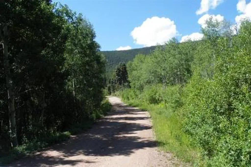
Hot Springs Trail is a 2.3-mile out-and-back route located in Colorado near the Ouray Ranger District of the Grand Mesa, Uncompahgre and Gunnison National Forest. The trail climbs 882 feet in elevation, making it a moderately challenging day hike. This route provides access to natural hot springs in the area, offering hikers a rewarding destination after the uphill push. The out-and-back format means you'll retrace your steps on the return journey, covering approximately 4.6 miles total with the same elevation gain reversed on descent. The trail is managed by the Ouray Ranger District, part of the GMUG National Forest system. The elevation gain is substantial for the relatively short distance, so hikers should be prepared for steep sections. This hike is best suited for those with moderate fitness levels who want to combine scenic hiking with the unique experience of natural geothermal features. The area offers views characteristic of Colorado's high country, with access to one of the region's natural thermal attractions.

Rainbow Trail
~14 min drive
72 mi · Expert

Comanche
~22 min drive
8.8 mi · Expert
Garner
~2 min drive
15 mi · Expert
Major
~4 min drive
14 mi · Expert
Black Canyon
~4 min drive
16 mi · Moderate
Cotton
~6 min drive
26 mi · Hard
Silver Lake
~8 min drive
1.0 mi · Easy
Steel Canyon
~8 min drive
4.2 mi · Hard
Horsethief Basin
~8 min drive
9.3 mi · Expert
Crossover
~9 min drive
10 mi · Hard