Loading trail…

Free — you'll pick up right here.
Watch this trail
Sign up to watch it — saving subscribes you to gate, closure and report changes.
Colorado
1.8 mi
Distance
32 ft
Gain
We won't guess. Here is exactly what we do and don't know.
What we do know
Inside Pike and San Isabel National Forests
2 managing-area boundaries mapped — agency alerts for them feed this page automatically.
Boundary data
What's missing
No access route mapped
We don't yet know which road reaches this trailhead, so we can't tell you if it's gated.
Nobody's filed a report here yet — be the first.
Why you'll love it
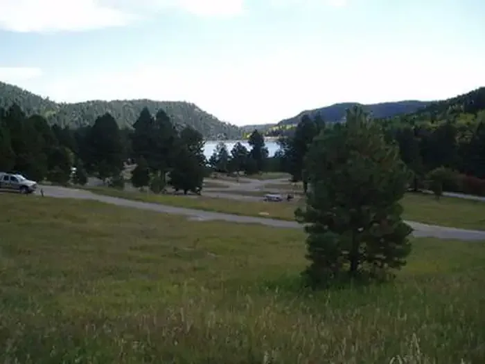
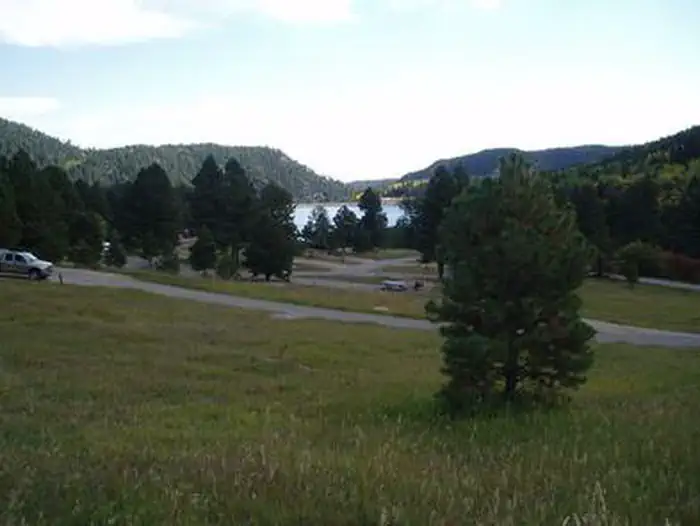
Lakeshore
AI-suggested draft · review before you go
The Lakeshore Trail is a short, accessible out-and-back hike located in Colorado near Gunnison in the San Juan National Forest. The 1.8-mile trail features minimal elevation gain of just 32 feet, making it ideal for families, beginners, or anyone seeking an easy walk without significant climbing. Managed by the Gunnison Ranger District of San Juan National Forest, this trail provides a straightforward route suitable for a quick outing. The flat terrain and modest distance mean most hikers can complete the full out-and-back route in under an hour. The trail is maintained by the U.S. Forest Service and offers visitors the chance to explore the Gunnison area's natural surroundings. With its low difficulty and short duration, Lakeshore Trail works well as a warm-up hike, a midday activity, or an option for those with limited time.

Lake Shore Ada
~1 min drive
0.6 mi · Easy

Mtn. Park
~8 min drive
2.3 mi · Easy
Sand Creek Basin
~46 min drive
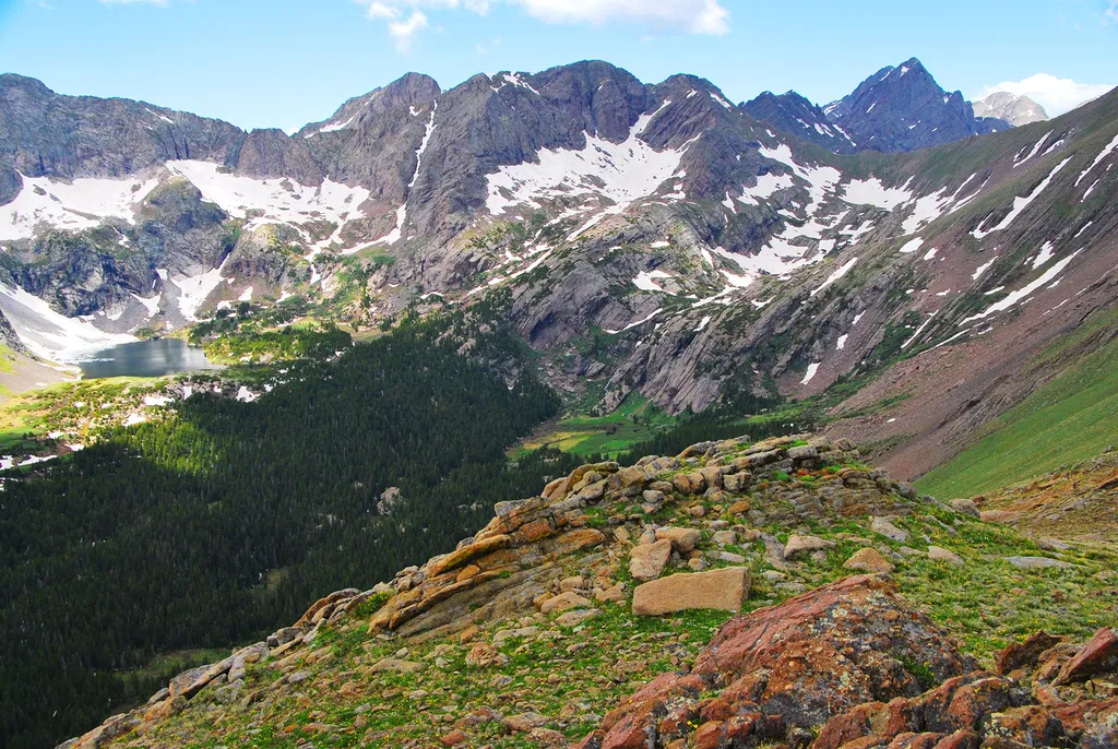
<p>Sand Creek Basin is part of the alpine watershed of Great Sand Dunes National Preserve. A longer drive and hike is required to reach these lakes and peaks, but the mountain scenery is worth the effort. Check with a ranger for conditions before travel. Snow may block these t…
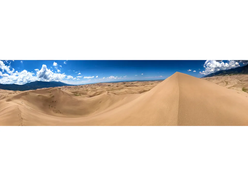
Hidden Dune
~51 min drive
Hidden Dune is currently tied with Star Dune as the two tallest dunes in North America at 741 feet/225 m. Hidden Dune is named for its remote location in the dunefield, where it is not visible from most of the main visitor day use areas. It is even hidden from much of the high…
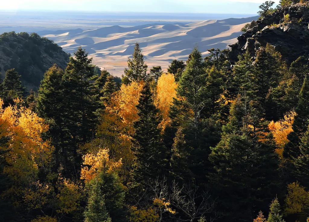
Mosca Pass
~52 min drive
<p>Just above the dunefield are forests of aspen, pine, fir, and spruce. The easiest hiking access to forest in the national park is in Mosca Pass, on the Montville Nature Trail and Mosca Pass Trail. On these trails, you are walking in the footsteps of Pleistocene mammoth hunt…
Millset
~7 min drive
9.2 mi · Expert
Greenhorn
~10 min drive
16 mi · Hard
Turkey Creek
~10 min drive
5.5 mi · Easy
Ophir Creek
~10 min drive
14 mi · Expert
Greenhorn Road
~11 min drive
19 mi · Hard