Loading trail…

Free — you'll pick up right here.
Watch this trail
Sign up to watch it — saving subscribes you to gate, closure and report changes.
Colorado
13.8 mi
Distance
1,590 ft
Gain
We won't guess. Here is exactly what we do and don't know.
What we do know
Inside Pike and San Isabel National Forests
2 managing-area boundaries mapped — agency alerts for them feed this page automatically.
Boundary data
What's missing
No access route mapped
We don't yet know which road reaches this trailhead, so we can't tell you if it's gated.
Nobody's filed a report here yet — be the first.
Why you'll love it
Ophir Creek
AI-suggested draft · review before you go
Ophir Creek is a 13.8-mile out-and-back trail located in Colorado that delivers moderate elevation gain across its route. The trail climbs 1,590 feet over the course of the hike, making it suitable for hikers with intermediate fitness levels. Starting from the trailhead, you'll follow Ophir Creek as it winds through the landscape, offering creek-side scenery throughout much of the journey. The out-and-back format means you'll retrace your steps on the return, allowing you to turn around at your preferred distance. This structure makes it easy to customize your hike based on time and energy level. The full 13.8-mile distance takes most hikers 5-7 hours depending on pace and conditions. The trail is managed by the designated wilderness area authority and is open to the general public. Expect a mix of terrain typical of Colorado high country hiking. Spring runoff may affect creek crossings, while late summer and fall generally offer the most stable conditions. Plan accordingly for weather changes, as Colorado mountains can shift quickly.

Mtn. Park
~9 min drive
2.3 mi · Easy

Lakeshore
~10 min drive
1.8 mi · Easy
Lake Shore Ada
~11 min drive
0.6 mi · Easy
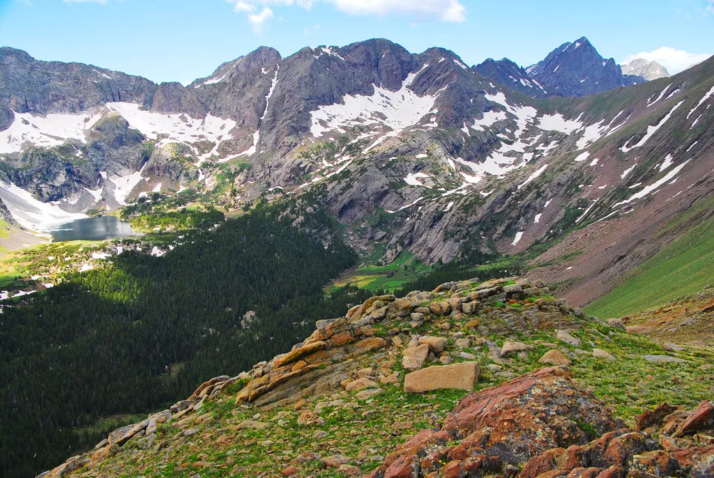
Sand Creek Basin
~43 min drive
<p>Sand Creek Basin is part of the alpine watershed of Great Sand Dunes National Preserve. A longer drive and hike is required to reach these lakes and peaks, but the mountain scenery is worth the effort. Check with a ranger for conditions before travel. Snow may block these t…
Greenhorn Road
~8 min drive
19 mi · Hard
Rudolph Mtn.
~9 min drive
7.4 mi · Moderate
Middle Hardscrabble
~12 min drive
4.8 mi · Hard
Babcock Hole
~15 min drive
5.4 mi · Easy
Mason Gulch
~15 min drive
4.1 mi · Moderate
Millset
~18 min drive
9.2 mi · Expert